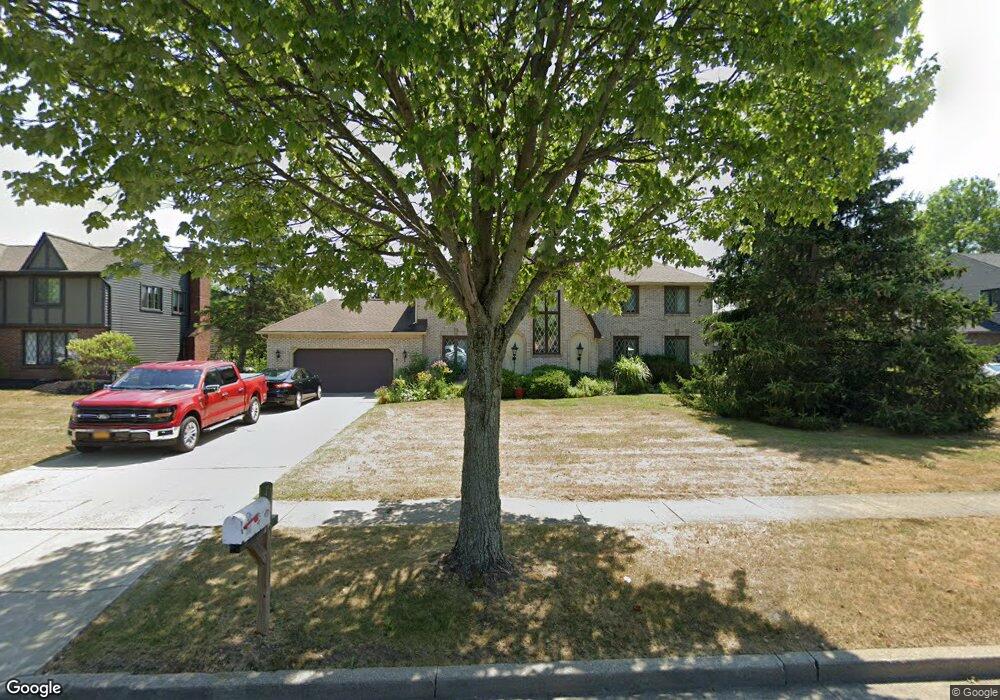
74 Crown Point Ln Buffalo, NY 14221
East Amherst NeighborhoodEstimated Value: $659,000 - $760,000
4
Beds
3
Baths
3,226
Sq Ft
$222/Sq Ft
Est. Value
About This Home
This home is located at 74 Crown Point Ln, Buffalo, NY 14221 and is currently estimated at $714,683, approximately $221 per square foot. 74 Crown Point Ln is a home located in Erie County with nearby schools including Maple East Elementary School, Transit Middle School, and Williamsville East High School.
Ownership History
Date
Name
Owned For
Owner Type
Purchase Details
Closed on
Dec 17, 2008
Sold by
Dean Charles M
Bought by
Dean Charles M and Dean Clare M
Current Estimated Value
Purchase Details
Closed on
Jun 4, 2008
Sold by
Mathews Joan E
Bought by
Dean Charles M
Home Financials for this Owner
Home Financials are based on the most recent Mortgage that was taken out on this home.
Original Mortgage
$200,000
Outstanding Balance
$128,863
Interest Rate
6.13%
Mortgage Type
Purchase Money Mortgage
Estimated Equity
$585,820
Create a Home Valuation Report for This Property
The Home Valuation Report is an in-depth analysis detailing your home's value as well as a comparison with similar homes in the area
Home Values in the Area
Average Home Value in this Area
Purchase History
| Date | Buyer | Sale Price | Title Company |
|---|---|---|---|
| Dean Charles M | -- | None Available | |
| Dean Charles M | $262,500 | None Available |
Source: Public Records
Mortgage History
| Date | Status | Borrower | Loan Amount |
|---|---|---|---|
| Open | Dean Charles M | $200,000 |
Source: Public Records
Tax History Compared to Growth
Tax History
| Year | Tax Paid | Tax Assessment Tax Assessment Total Assessment is a certain percentage of the fair market value that is determined by local assessors to be the total taxable value of land and additions on the property. | Land | Improvement |
|---|---|---|---|---|
| 2024 | -- | $581,000 | $132,000 | $449,000 |
| 2023 | $11,379 | $339,000 | $72,000 | $267,000 |
| 2022 | $10,600 | $339,000 | $72,000 | $267,000 |
| 2021 | $10,390 | $339,000 | $72,000 | $267,000 |
| 2020 | $9,746 | $339,000 | $72,000 | $267,000 |
| 2019 | $9,503 | $339,000 | $72,000 | $267,000 |
| 2018 | $9,323 | $339,000 | $72,000 | $267,000 |
| 2017 | $3,543 | $339,000 | $72,000 | $267,000 |
| 2016 | $8,295 | $264,000 | $44,300 | $219,700 |
| 2015 | -- | $264,000 | $44,300 | $219,700 |
| 2014 | -- | $264,000 | $44,300 | $219,700 |
Source: Public Records
Map
Nearby Homes
- 44 Deer Run
- 104 Deer Run
- 100 Rollingwood St
- 14 Wynngate Ln
- 81 Farmington Rd
- 181 Viscount Dr
- 60 Chapel Woods
- 55 Contessa Ct
- 298 Wood Acres Dr
- 31 Shadow Wood Dr
- 18 Boundbrook Ct
- 55 Birch Ln
- 11 Fennec Ln
- 173 Paradise Rd
- 23 Birch Ln
- 520 Paradise Rd
- 47 Birch Ln
- 40 Spicebush Ln
- 42 Spicebush Ln
- 96 Klein Rd
- 82 Crown Point Ln
- 68 Crown Point Ln
- 78 Stonybrook Ln
- 92 Crown Point Ln
- 52 Crown Point Ln
- 86 Stonybrook Ln
- 70 Stonybrook Ln
- 71 Crown Point Ln
- 83 Crown Point Ln
- 40 Crown Point Ln
- 163 Chapel Woods
- 61 Crown Point Ln
- 60 Stonybrook Ln
- 155 Chapel Woods
- 53 Crown Point Ln
- 12 Deer Run
- 79 Stonybrook Ln
- 87 Stonybrook Ln
- 45 Crown Point Ln
- 71 Stonybrook Ln