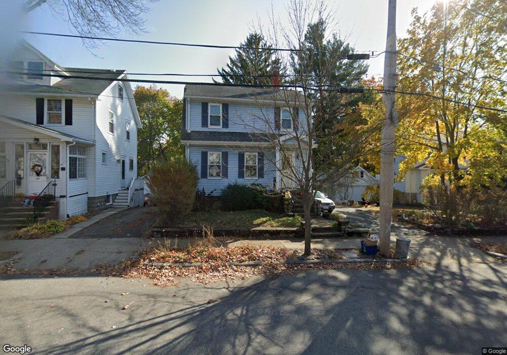
74 Dow Ave Arlington, MA 02476
Arlington Heights NeighborhoodEstimated Value: $928,000 - $1,208,000
3
Beds
2
Baths
1,410
Sq Ft
$753/Sq Ft
Est. Value
About This Home
This home is located at 74 Dow Ave, Arlington, MA 02476 and is currently estimated at $1,061,224, approximately $752 per square foot. 74 Dow Ave is a home located in Middlesex County with nearby schools including Dallin Elementary School, Ottoson Middle School, and Arlington High School.
Ownership History
Date
Name
Owned For
Owner Type
Purchase Details
Closed on
Feb 13, 2001
Sold by
Bodmer Richard V and Bodmer Lyn D
Bought by
Williams Christopher and Mccaffrey Bridget
Current Estimated Value
Home Financials for this Owner
Home Financials are based on the most recent Mortgage that was taken out on this home.
Original Mortgage
$275,000
Outstanding Balance
$99,705
Interest Rate
7.13%
Mortgage Type
Purchase Money Mortgage
Estimated Equity
$961,519
Purchase Details
Closed on
Jul 22, 1997
Sold by
Newman Denis B and Quinsaat Marilyn G
Bought by
Bodmer Richard V and Bodmer Lyn D
Purchase Details
Closed on
Sep 24, 1987
Sold by
Sullivan-Dempsey Rt
Bought by
Newman Denis B
Purchase Details
Closed on
Sep 23, 1987
Sold by
Fullerton Denis
Bought by
Sullivan-Dempsey Rt
Create a Home Valuation Report for This Property
The Home Valuation Report is an in-depth analysis detailing your home's value as well as a comparison with similar homes in the area
Home Values in the Area
Average Home Value in this Area
Purchase History
| Date | Buyer | Sale Price | Title Company |
|---|---|---|---|
| Williams Christopher | $375,000 | -- | |
| Bodmer Richard V | $226,000 | -- | |
| Newman Denis B | $224,900 | -- | |
| Sullivan-Dempsey Rt | $225,000 | -- |
Source: Public Records
Mortgage History
| Date | Status | Borrower | Loan Amount |
|---|---|---|---|
| Open | Sullivan-Dempsey Rt | $275,000 | |
| Previous Owner | Sullivan-Dempsey Rt | $200,000 |
Source: Public Records
Tax History Compared to Growth
Tax History
| Year | Tax Paid | Tax Assessment Tax Assessment Total Assessment is a certain percentage of the fair market value that is determined by local assessors to be the total taxable value of land and additions on the property. | Land | Improvement |
|---|---|---|---|---|
| 2025 | $9,239 | $857,800 | $473,400 | $384,400 |
| 2024 | $8,827 | $833,500 | $473,400 | $360,100 |
| 2023 | $8,420 | $751,100 | $421,400 | $329,700 |
| 2022 | $8,037 | $703,800 | $404,100 | $299,700 |
| 2021 | $7,881 | $695,000 | $404,100 | $290,900 |
| 2020 | $7,686 | $694,900 | $404,100 | $290,800 |
| 2019 | $7,108 | $631,300 | $404,100 | $227,200 |
| 2018 | $6,887 | $567,800 | $340,600 | $227,200 |
| 2017 | $6,769 | $538,900 | $311,700 | $227,200 |
| 2016 | $6,307 | $492,700 | $265,500 | $227,200 |
| 2015 | $6,133 | $452,600 | $230,900 | $221,700 |
Source: Public Records
Map
Nearby Homes
- 56 Valentine Rd
- 19 Wilbur Ave
- 64 Browning Rd
- 37 Fountain Rd Unit 2
- 37 Fountain Rd
- 53 Crestview Rd
- 10 Colonial Village Dr Unit 2
- 58 Westminster Ave Unit 58
- 51 Lowell St
- 14 Park Avenue Extension
- 1 Watermill Place Unit 304
- 1 Watermill Place Unit 308
- 11 Lowell St Unit B
- 789 Concord Turnpike
- 6 Appleton Place
- 14 Burton St Unit 16
- 181 Lowell St
- 135 Marsh St
- 15 Higgins St Unit 17
- 4 Beck Rd