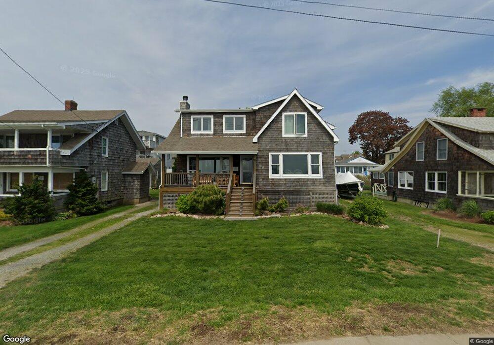
74 E Shore Ave Groton, CT 06340
Estimated Value: $1,023,000 - $1,400,000
5
Beds
3
Baths
1,797
Sq Ft
$700/Sq Ft
Est. Value
About This Home
This home is located at 74 E Shore Ave, Groton, CT 06340 and is currently estimated at $1,257,996, approximately $700 per square foot. 74 E Shore Ave is a home located in New London County with nearby schools including Groton Middle School and Robert E. Fitch High School.
Ownership History
Date
Name
Owned For
Owner Type
Purchase Details
Closed on
Nov 9, 2015
Sold by
Alexandra N Crouch Ret
Bought by
Poi Crouch-Groton Long
Current Estimated Value
Purchase Details
Closed on
Feb 23, 2015
Sold by
Calvin E Crouch Ret
Bought by
Crouch Groton Long Poi
Purchase Details
Closed on
Apr 7, 2011
Sold by
Johnson Robert A and Johnson Judith C
Bought by
Crouch-Gill Jennifer B and Crouch-Aldridge Susan M
Home Financials for this Owner
Home Financials are based on the most recent Mortgage that was taken out on this home.
Original Mortgage
$400,000
Interest Rate
4.88%
Create a Home Valuation Report for This Property
The Home Valuation Report is an in-depth analysis detailing your home's value as well as a comparison with similar homes in the area
Purchase History
| Date | Buyer | Sale Price | Title Company |
|---|---|---|---|
| Poi Crouch-Groton Long | -- | -- | |
| Crouch Groton Long Poi | -- | -- | |
| Crouch Groton Long Poi | -- | -- | |
| Crouch Groton Long Poi | -- | -- | |
| Crouch Groton Long Poi | -- | -- | |
| Crouch Groton Long Poi | -- | -- | |
| Crouch-Gill Jennifer B | -- | -- | |
| Crouch-Groton Long Poi | -- | -- | |
| Crouch Groton Long Poi | -- | -- | |
| Crouch-Gill Jennifer B | -- | -- |
Source: Public Records
Mortgage History
| Date | Status | Borrower | Loan Amount |
|---|---|---|---|
| Previous Owner | Crouch-Gill Jennifer B | $400,000 |
Source: Public Records
Tax History
| Year | Tax Paid | Tax Assessment Tax Assessment Total Assessment is a certain percentage of the fair market value that is determined by local assessors to be the total taxable value of land and additions on the property. | Land | Improvement |
|---|---|---|---|---|
| 2025 | $15,641 | $555,240 | $450,380 | $104,860 |
| 2024 | $14,681 | $555,240 | $450,380 | $104,860 |
| 2023 | $14,153 | $555,240 | $405,440 | $149,800 |
| 2022 | $13,887 | $555,240 | $405,440 | $149,800 |
| 2021 | $16,910 | $561,610 | $450,450 | $111,160 |
| 2020 | $16,661 | $561,610 | $450,450 | $111,160 |
| 2019 | $15,976 | $561,610 | $450,450 | $111,160 |
| 2018 | $15,658 | $561,610 | $450,450 | $111,160 |
| 2017 | $15,349 | $561,610 | $450,450 | $111,160 |
| 2016 | $15,488 | $626,430 | $488,250 | $138,180 |
| 2015 | $15,000 | $626,430 | $488,250 | $138,180 |
| 2014 | $14,518 | $626,430 | $488,250 | $138,180 |
Source: Public Records
Map
Nearby Homes
- 76 E Shore Ave
- 72 E Shore Ave
- 0 Beach Rd Unit 170023159
- 0 Beach Rd Unit E215400
- 0 Beach Rd Unit E221891
- 0 Beach Rd Unit E245740
- 0 Beach Rd Unit E247897
- 0 Beach Rd Unit E268318
- 0 Beach Rd Unit E10065114
- 00 Beach Rd
- 0 Beach Rd Unit E10108032
- 0 Beach Rd Unit E10196576
- 0 Beach Rd Unit E226063
- 2 Cross St
- 68 E Shore Ave
- 23 Middlefield St
- 21 Middlefield St
- 4 Cross St
- 19 Middlefield St
Your Personal Tour Guide
Ask me questions while you tour the home.