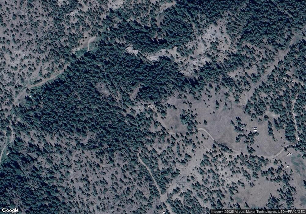
74 Gunsight Ln Unit MK 76 Cascade, MT 59421
Estimated Value: $109,000 - $121,000
1
Bed
--
Bath
286
Sq Ft
$402/Sq Ft
Est. Value
About This Home
This home is located at 74 Gunsight Ln Unit MK 76, Cascade, MT 59421 and is currently estimated at $115,000, approximately $402 per square foot. 74 Gunsight Ln Unit MK 76 is a home located in Cascade County with nearby schools including Cascade School, Cascade Junior High School, and Cascade High School.
Ownership History
Date
Name
Owned For
Owner Type
Purchase Details
Closed on
Apr 15, 2016
Sold by
Dutton William Daniel and Spaulding Rosina Belle
Bought by
Nutter Lyle and Nutter Christel
Current Estimated Value
Purchase Details
Closed on
Jul 17, 2013
Sold by
Legato Teri A
Bought by
Dutton William Daniel and Spaulding Rosina Belle
Purchase Details
Closed on
Jul 16, 2010
Sold by
Baker Wayne
Bought by
Legato Teri A
Purchase Details
Closed on
Sep 28, 2005
Sold by
Meyer John and Williams Ronald D
Bought by
Baker Wayne
Purchase Details
Closed on
Aug 9, 2005
Sold by
Mcdonald Lee
Bought by
Meyer John and Williams Ronald D
Create a Home Valuation Report for This Property
The Home Valuation Report is an in-depth analysis detailing your home's value as well as a comparison with similar homes in the area
Home Values in the Area
Average Home Value in this Area
Purchase History
| Date | Buyer | Sale Price | Title Company |
|---|---|---|---|
| Nutter Lyle | -- | Stewart Title | |
| Nutter Lyle | -- | Stewart Title | |
| Dutton William Daniel | -- | Stewart Title Company | |
| Legato Teri A | -- | Stgf | |
| Baker Wayne | -- | First American Title Company | |
| Meyer John | -- | First American Title Company |
Source: Public Records
Tax History Compared to Growth
Tax History
| Year | Tax Paid | Tax Assessment Tax Assessment Total Assessment is a certain percentage of the fair market value that is determined by local assessors to be the total taxable value of land and additions on the property. | Land | Improvement |
|---|---|---|---|---|
| 2025 | $620 | $92,198 | $0 | $0 |
| 2024 | $812 | $95,700 | $0 | $0 |
| 2023 | $787 | $95,700 | $0 | $0 |
| 2022 | $452 | $48,141 | $0 | $0 |
| 2021 | $340 | $48,141 | $0 | $0 |
| 2020 | $438 | $43,400 | $0 | $0 |
| 2019 | $461 | $43,400 | $0 | $0 |
| 2018 | $426 | $38,028 | $0 | $0 |
| 2017 | $556 | $38,028 | $0 | $0 |
| 2016 | $393 | $32,513 | $0 | $0 |
| 2015 | $195 | $24,983 | $0 | $0 |
| 2014 | $341 | $10,179 | $0 | $0 |
Source: Public Records
Map
Nearby Homes
- Nhn Gunsight Ln Unit Cascade MT 59421
- 0 Tbd Ridge Crest Ln
- 100 Dryfork Ln
- 558 Dearborn River Rd
- TBD Ridge Crest Ln
- 0 Mountain Home Ln Unit 16921312
- 50 Overlook Ln
- 12 Upper Sawmill Creek Ln
- Tbd Powerline Rd
- 84 Sugarloaf Mountain Ln
- Lot 49 Cooper Valley Estates
- 41 Sugarloaf Mountain Ln Unit Parcel 2
- 00 Box Canyon Ln
- 18 Trail End Ln
- 0 Box Canyon Ln Unit 23-64
- 0 Box Canyon Ln Unit 22180270
- 0 Box Caynon Ln Unit 338253
- 0 Lonesome Ln Unit 25006073
- NHN Big Pine Ln
- 15 Shady Spring Ln
- 74 Gunsight Ln
- 49 Gunsight Ln
- 87 Paul Creek Ln
- 79 Paul Creek Ln
- 79 Gunsight Ln
- 79 Gunsight Ln Unit MK 52
- 48 Gunsight Ln
- 71 Paul Creek Ln
- 45 Gunsight Ln
- 113 Paul Creek Ln
- X Gunsight Ln
- 111 Paul Creek Ln
- 6ac-7ac Gunsight Ln
- 0 Gunsight Ln Unit 3110641
- 0 Gunsight Ln Unit 3090486
- 0 Gunsight Ln Unit 21917376
- 0 Gunsight Ln Unit 3150078
- 0 Gunsight Ln Unit 3090401
- 0 Gunsight Ln Unit 3151408
- 0 Gunsight Ln Unit 3120763
