Estimated Value: $492,517 - $715,000
Studio
--
Bath
1,428
Sq Ft
$416/Sq Ft
Est. Value
About This Home
This home is located at 74 Juniper Ln, Acton, ME 04001 and is currently estimated at $593,629, approximately $415 per square foot. 74 Juniper Ln is a home with nearby schools including Acton Elementary School.
Ownership History
Date
Name
Owned For
Owner Type
Purchase Details
Closed on
Feb 16, 2023
Sold by
Sullivan David M
Bought by
Dms Ft and Sullivan
Current Estimated Value
Purchase Details
Closed on
Jun 8, 2019
Sold by
Sullivan Cynthia J and Sullivan David M
Bought by
Sullivan David M
Home Financials for this Owner
Home Financials are based on the most recent Mortgage that was taken out on this home.
Original Mortgage
$135,000
Interest Rate
4%
Mortgage Type
New Conventional
Purchase Details
Closed on
May 6, 2013
Sold by
York Town Of
Bought by
Norton 3Rd Roger R and Norton Melody L
Purchase Details
Closed on
Jul 27, 2005
Sold by
Sullivan Cynthia J and Sullivan David M
Bought by
Sullivan David M
Home Financials for this Owner
Home Financials are based on the most recent Mortgage that was taken out on this home.
Original Mortgage
$164,000
Interest Rate
5.67%
Mortgage Type
Purchase Money Mortgage
Create a Home Valuation Report for This Property
The Home Valuation Report is an in-depth analysis detailing your home's value as well as a comparison with similar homes in the area
Home Values in the Area
Average Home Value in this Area
Purchase History
| Date | Buyer | Sale Price | Title Company |
|---|---|---|---|
| Dms Ft | -- | None Available | |
| Dms Ft | -- | None Available | |
| Dms Ft | -- | None Available | |
| Sullivan David M | -- | -- | |
| Sullivan David M | -- | -- | |
| Sullivan David M | -- | -- | |
| Sullivan David M | -- | -- | |
| Norton 3Rd Roger R | -- | -- | |
| Sullivan David M | $25,000 | -- | |
| Sullivan David M | $25,000 | -- | |
| Sullivan David M | $25,000 | -- |
Source: Public Records
Mortgage History
| Date | Status | Borrower | Loan Amount |
|---|---|---|---|
| Previous Owner | Sullivan David M | $135,000 | |
| Previous Owner | Sullivan David M | $155,000 | |
| Previous Owner | Sullivan David M | $164,000 |
Source: Public Records
Tax History
| Year | Tax Paid | Tax Assessment Tax Assessment Total Assessment is a certain percentage of the fair market value that is determined by local assessors to be the total taxable value of land and additions on the property. | Land | Improvement |
|---|---|---|---|---|
| 2025 | $3,109 | $431,272 | $177,660 | $253,612 |
| 2024 | $3,049 | $431,272 | $177,660 | $253,612 |
| 2023 | $2,782 | $431,272 | $177,660 | $253,612 |
| 2022 | $3,099 | $259,345 | $106,870 | $152,475 |
| 2021 | $3,099 | $259,345 | $106,870 | $152,475 |
| 2020 | $3,125 | $259,345 | $106,870 | $152,475 |
| 2019 | $3,125 | $259,345 | $106,870 | $152,475 |
| 2018 | $3,125 | $259,345 | $106,870 | $152,475 |
| 2017 | $3,086 | $259,345 | $106,870 | $152,475 |
| 2016 | $2,885 | $256,431 | $106,870 | $149,561 |
| 2015 | $2,782 | $240,887 | $106,870 | $134,017 |
| 2014 | $2,674 | $240,887 | $106,870 | $134,017 |
Source: Public Records
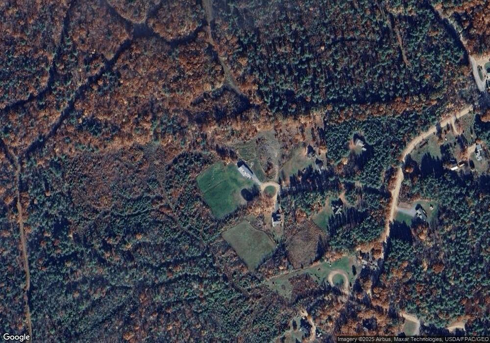
Map
Nearby Homes
- 531 Abbott Rd
- 319 Asbury Ln
- 00 Racoon Rd
- 394 Raccoon Rd
- 63 Dandy Rd
- 62 Thoreau Trail
- 422 Buzzell Rd
- Lots 30 + 18 Thornhill Rd
- 163 Buzzell Rd
- 2403 Province Lake Rd Unit 21000
- Parcel #1 Sanborn Rd
- 89 Joe Del Dr
- 103 Goodwin Rd
- 115 Chandler Ln
- 51 Mill Pond Rd
- Lot 4 Scribner Hill Extension
- 271 Red Gate Ln
- 8 Eliot Dr
- 367 Shady Nook Rd
- Lot 11 Ridge Way
Your Personal Tour Guide
Ask me questions while you tour the home.