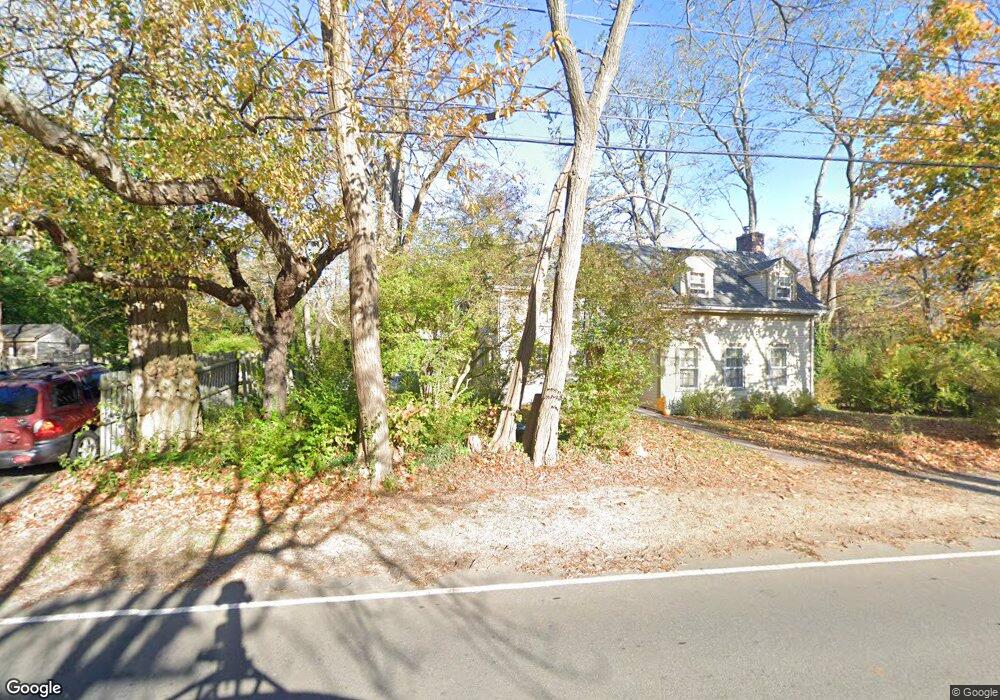
74 Langsford St Gloucester, MA 01930
Estimated Value: $901,226 - $1,200,000
4
Beds
4
Baths
1,928
Sq Ft
$517/Sq Ft
Est. Value
About This Home
This home is located at 74 Langsford St, Gloucester, MA 01930 and is currently estimated at $997,307, approximately $517 per square foot. 74 Langsford St is a home located in Essex County with nearby schools including Plum Cove School, Ralph B O'maley Middle School, and Gloucester High School.
Ownership History
Date
Name
Owned For
Owner Type
Purchase Details
Closed on
Aug 11, 2015
Sold by
Earle Patricia N
Bought by
Burnham Carol N
Current Estimated Value
Home Financials for this Owner
Home Financials are based on the most recent Mortgage that was taken out on this home.
Original Mortgage
$343,000
Outstanding Balance
$269,768
Interest Rate
4.03%
Mortgage Type
New Conventional
Estimated Equity
$727,539
Purchase Details
Closed on
Jul 21, 2011
Sold by
Earle Richard M and Earle Patricia N
Bought by
Earle Patricia N
Create a Home Valuation Report for This Property
The Home Valuation Report is an in-depth analysis detailing your home's value as well as a comparison with similar homes in the area
Home Values in the Area
Average Home Value in this Area
Purchase History
| Date | Buyer | Sale Price | Title Company |
|---|---|---|---|
| Burnham Carol N | $450,000 | -- | |
| Earle Patricia N | -- | -- |
Source: Public Records
Mortgage History
| Date | Status | Borrower | Loan Amount |
|---|---|---|---|
| Open | Burnham Carol N | $343,000 | |
| Previous Owner | Earle Patricia N | $360,000 | |
| Previous Owner | Earle Patricia N | $120,000 | |
| Previous Owner | Earle Patricia N | $70,000 |
Source: Public Records
Tax History Compared to Growth
Tax History
| Year | Tax Paid | Tax Assessment Tax Assessment Total Assessment is a certain percentage of the fair market value that is determined by local assessors to be the total taxable value of land and additions on the property. | Land | Improvement |
|---|---|---|---|---|
| 2025 | $7,087 | $728,400 | $286,500 | $441,900 |
| 2024 | $7,087 | $728,400 | $286,500 | $441,900 |
| 2023 | $7,061 | $666,800 | $255,700 | $411,100 |
| 2022 | $6,787 | $578,600 | $217,400 | $361,200 |
| 2021 | $6,560 | $527,300 | $197,800 | $329,500 |
| 2020 | $6,499 | $527,100 | $197,800 | $329,300 |
| 2019 | $6,269 | $494,000 | $197,800 | $296,200 |
| 2018 | $6,089 | $470,900 | $197,800 | $273,100 |
| 2017 | $5,905 | $447,700 | $188,300 | $259,400 |
| 2016 | $5,754 | $422,800 | $188,900 | $233,900 |
| 2015 | $5,536 | $405,600 | $188,900 | $216,700 |
Source: Public Records
Map
Nearby Homes
- 2 Norseman Ave
- 25 Stockholm Ave
- 6 Mount Locust Place Unit 2
- 962 Washington St
- 3 Colburn St
- 3 Colburn St Unit 2
- 3 Colburn St Unit 1
- 13 Phillips Ave
- 165 Granite St
- 73 Phillips Ave
- 2 Wharf Rd
- 2 Boulder Top
- 26 Quarry Ridge Ln
- 1 Doctors Run
- 13 Rowe Point
- 63R Main St Unit 2
- 79 Dennison St
- 123 Main St Unit 2
- 135 A&B Main St
- 36 Broadway Ave
- 76 Langsford St
- 3 Rockwood Ln
- 3 Rockwood Ln Unit 1
- 75 Langsford St
- 78 Langsford St
- 68 Langsford St
- 10 Coggeshall Rd
- 73 Langsford St
- 8 Coggeshall Rd
- 12 Coggeshall Rd
- 67 Langsford St
- 8 Rockwood Ln
- 7 & 17 Coggeshall Rd
- 66 Langsford St Unit 2
- 66 Langsford St Unit 1
- 66 Langsford St
- 66 Langsford St Unit R
- 64 Langsford St
- 82 Langsford St
- 83 Langsford St