74 Lower Loop Campton, NH 03223
Estimated Value: $414,000 - $457,214
4
Beds
3
Baths
1,592
Sq Ft
$273/Sq Ft
Est. Value
About This Home
This home is located at 74 Lower Loop, Campton, NH 03223 and is currently estimated at $435,304, approximately $273 per square foot. 74 Lower Loop is a home located in Grafton County with nearby schools including Campton Elementary School and Plymouth Regional High School.
Ownership History
Date
Name
Owned For
Owner Type
Purchase Details
Closed on
May 11, 2012
Sold by
Kizer David M
Bought by
Kizer David M and Mitchell Maundy A
Current Estimated Value
Purchase Details
Closed on
Aug 18, 2003
Sold by
Webster Phillip E and Webster Karen M
Bought by
Kizer David Matthew
Home Financials for this Owner
Home Financials are based on the most recent Mortgage that was taken out on this home.
Original Mortgage
$120,000
Interest Rate
5.46%
Create a Home Valuation Report for This Property
The Home Valuation Report is an in-depth analysis detailing your home's value as well as a comparison with similar homes in the area
Home Values in the Area
Average Home Value in this Area
Purchase History
| Date | Buyer | Sale Price | Title Company |
|---|---|---|---|
| Kizer David M | -- | -- | |
| Kizer David Matthew | $150,000 | -- |
Source: Public Records
Mortgage History
| Date | Status | Borrower | Loan Amount |
|---|---|---|---|
| Previous Owner | Kizer David Matthew | $120,000 |
Source: Public Records
Tax History
| Year | Tax Paid | Tax Assessment Tax Assessment Total Assessment is a certain percentage of the fair market value that is determined by local assessors to be the total taxable value of land and additions on the property. | Land | Improvement |
|---|---|---|---|---|
| 2024 | $6,897 | $400,500 | $162,100 | $238,400 |
| 2023 | $6,373 | $221,500 | $71,900 | $149,600 |
| 2022 | $5,597 | $221,500 | $71,900 | $149,600 |
| 2021 | $5,531 | $221,500 | $71,900 | $149,600 |
| 2020 | $5,305 | $218,600 | $71,900 | $146,700 |
| 2019 | $5,074 | $218,600 | $71,900 | $146,700 |
| 2018 | $4,654 | $182,300 | $59,300 | $123,000 |
| 2017 | $4,521 | $182,300 | $59,300 | $123,000 |
| 2016 | $4,355 | $182,300 | $59,300 | $123,000 |
| 2015 | $4,387 | $191,500 | $59,300 | $132,200 |
| 2014 | $4,493 | $191,500 | $59,300 | $132,200 |
| 2013 | $4,060 | $203,100 | $61,100 | $142,000 |
Source: Public Records
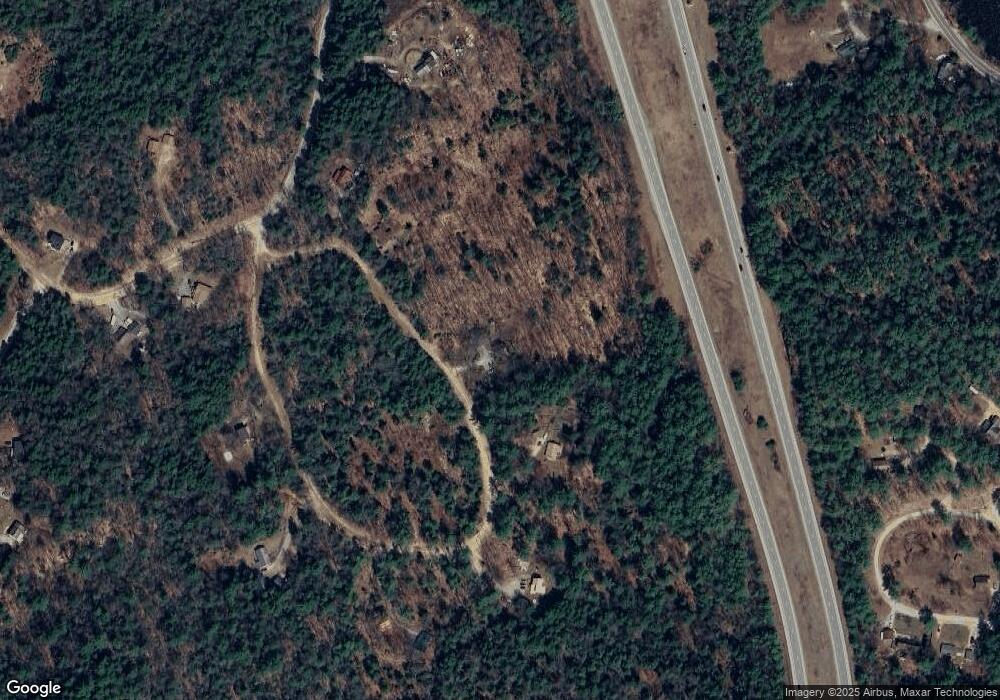
Map
Nearby Homes
- 49 New Hampshire Route 175
- 71 Carla Ct
- 49 Red Sleigh Rd
- 5 Wildwood Dr
- 20 Wildflower Ln Unit 208-97-9-1
- 21 Pemi River Heights
- 18 Wildflower Ln Unit 208-97-8-01
- 18 Wildflower Ln Unit 208-97-8-2
- 27 Woodland Way Unit 4
- 27 Woodland Way Unit 31/4
- 27 Woodland Way Unit 31/2
- 4 Stetson Dr
- 0 Lower Beech Hill Rd Unit 25
- 6 Boe Rd
- 14 Heritage Hill Rd
- 23 High St
- 189 Highland St
- 000 Smith Rd Unit 2
- 263 Highland St
- 3 Keeble St
- 60 Lower Loop
- 90 Lower Loop
- 139 Beaver Brook Rd
- 133 Beaver Brook Rd
- 52 Lower Loop
- 20 Lower Loop
- 151 Beaver Brook Rd
- 107 Beaver Brook Rd
- 34 Lower Loop
- 56 Pine Cove Rd
- 1247 Us Route 3
- 42 Lower Loop
- 148 Beaver Brook Rd
- 54 Pine Cove Rd
- 159 Beaver Brook Rd
- 1243 Us Route 3
- 9 Acorn St
- 170 Beaver Brook Rd
- 98 Beaver Brook Rd
- 72 Pine Cove Rd
Your Personal Tour Guide
Ask me questions while you tour the home.