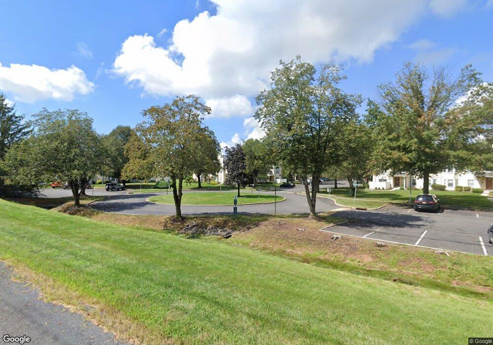
74 Mill Run W Hightstown, NJ 08520
Estimated Value: $323,527 - $356,000
--
Bed
--
Bath
1,160
Sq Ft
$298/Sq Ft
Est. Value
About This Home
This home is located at 74 Mill Run W, Hightstown, NJ 08520 and is currently estimated at $345,132, approximately $297 per square foot. 74 Mill Run W is a home located in Mercer County with nearby schools including Melvin H. Kreps Middle School, Hightstown High School, and SciCore Academy.
Ownership History
Date
Name
Owned For
Owner Type
Purchase Details
Closed on
Sep 29, 2022
Sold by
Shenosky John
Bought by
Schneck Irene M
Current Estimated Value
Purchase Details
Closed on
Jul 15, 1999
Sold by
Mount Jeffrey
Bought by
Shenosky John and Shenosky Gloria
Purchase Details
Closed on
Apr 10, 1995
Sold by
Hyer Raymond
Bought by
Mount Jeffrey C and Doren Janelle
Home Financials for this Owner
Home Financials are based on the most recent Mortgage that was taken out on this home.
Original Mortgage
$73,000
Interest Rate
8.33%
Mortgage Type
FHA
Purchase Details
Closed on
Sep 10, 1992
Sold by
Alicastro Leo P and Alicastro Sherry
Bought by
Hyer Raymond and Hyer Anne
Create a Home Valuation Report for This Property
The Home Valuation Report is an in-depth analysis detailing your home's value as well as a comparison with similar homes in the area
Home Values in the Area
Average Home Value in this Area
Purchase History
| Date | Buyer | Sale Price | Title Company |
|---|---|---|---|
| Schneck Irene M | -- | -- | |
| Schneck Irene M | -- | None Listed On Document | |
| Shenosky John | $88,900 | -- | |
| Mount Jeffrey C | $81,000 | -- | |
| Hyer Raymond | $80,000 | -- |
Source: Public Records
Mortgage History
| Date | Status | Borrower | Loan Amount |
|---|---|---|---|
| Previous Owner | Mount Jeffrey C | $73,000 |
Source: Public Records
Tax History Compared to Growth
Tax History
| Year | Tax Paid | Tax Assessment Tax Assessment Total Assessment is a certain percentage of the fair market value that is determined by local assessors to be the total taxable value of land and additions on the property. | Land | Improvement |
|---|---|---|---|---|
| 2025 | $7,394 | $150,800 | $58,700 | $92,100 |
| 2024 | $7,318 | $150,800 | $58,700 | $92,100 |
| 2023 | $7,318 | $150,800 | $58,700 | $92,100 |
| 2022 | $7,065 | $150,800 | $58,700 | $92,100 |
| 2021 | $6,810 | $150,800 | $58,700 | $92,100 |
| 2020 | $6,655 | $150,800 | $58,700 | $92,100 |
| 2019 | $6,469 | $150,800 | $58,700 | $92,100 |
| 2018 | $6,281 | $150,800 | $58,700 | $92,100 |
| 2017 | $6,216 | $150,800 | $58,700 | $92,100 |
| 2016 | $6,162 | $150,800 | $58,700 | $92,100 |
| 2015 | $6,122 | $150,800 | $58,700 | $92,100 |
| 2014 | $6,162 | $150,800 | $58,700 | $92,100 |
Source: Public Records
Map
Nearby Homes
- 164 Mill Run E Unit 141
- 5 Mill Run W
- 23 Powell Ct
- 4 Brakeman Ct
- 1 Huber Ct
- 23 Barton Dr
- 126 Mill Run E
- 126 Mill Run E Unit 84
- 124 Mill Run E Unit 85
- 43 Norton Ave
- 344 Monmouth St
- 128 Monmouth St
- 4 Sandstone Rd
- 50 -18 Garden View Terrace
- 336 Monmouth St
- 47 Garden View Terrace Unit 4
- 47 Garden View Terrace
- 15 Brownstone Rd
- 30 Frost Ln
- 219 Maxwell Ave
- 76 Mill Run W
- 72 Mill Run W
- 64 Mill Run W
- 68 Mill Run W Unit 68
- 68 Mill Run W
- 70 Mill Run W
- 78 Mill Run W
- 66 Mill Run W
- 60 Mill Run W
- 60 Mill Run W Unit 60
- 204 Mill Run Ct Unit C1
- 204 Mill Run Ct Unit BDG 28
- 58 Mill Run W Unit BLDG26
- 58 Mill Run W
- 56 Mill Run W
- 206 Mill Run Ct
- 216 Mill Run Ct
- 216 Mill Run Ct Unit 281
- 54 Mill Run W
- 208 Mill Run Ct