74 Old North Rd Pocasset, MA 02559
Pocasset NeighborhoodEstimated Value: $822,000 - $5,830,000
8
Beds
8
Baths
7,540
Sq Ft
$514/Sq Ft
Est. Value
About This Home
This home is located at 74 Old North Rd, Pocasset, MA 02559 and is currently estimated at $3,879,165, approximately $514 per square foot. 74 Old North Rd is a home located in Barnstable County with nearby schools including Bourne High School and Cadence Academy Preschool - Bourne.
Ownership History
Date
Name
Owned For
Owner Type
Purchase Details
Closed on
Jun 18, 2007
Sold by
Plugge Sara Lu
Bought by
Peck Jackie B and Peck Stephen H
Current Estimated Value
Home Financials for this Owner
Home Financials are based on the most recent Mortgage that was taken out on this home.
Original Mortgage
$1,000,000
Outstanding Balance
$611,895
Interest Rate
6.19%
Mortgage Type
Purchase Money Mortgage
Estimated Equity
$3,267,270
Create a Home Valuation Report for This Property
The Home Valuation Report is an in-depth analysis detailing your home's value as well as a comparison with similar homes in the area
Home Values in the Area
Average Home Value in this Area
Purchase History
| Date | Buyer | Sale Price | Title Company |
|---|---|---|---|
| Peck Jackie B | $2,800,000 | -- |
Source: Public Records
Mortgage History
| Date | Status | Borrower | Loan Amount |
|---|---|---|---|
| Open | Peck Jackie B | $1,000,000 |
Source: Public Records
Tax History Compared to Growth
Tax History
| Year | Tax Paid | Tax Assessment Tax Assessment Total Assessment is a certain percentage of the fair market value that is determined by local assessors to be the total taxable value of land and additions on the property. | Land | Improvement |
|---|---|---|---|---|
| 2025 | $36,561 | $4,681,300 | $1,459,000 | $3,222,300 |
| 2024 | $35,565 | $4,434,600 | $1,389,500 | $3,045,100 |
| 2023 | $35,162 | $3,991,100 | $1,229,600 | $2,761,500 |
| 2022 | $35,090 | $3,477,700 | $1,087,900 | $2,389,800 |
| 2021 | $4,712 | $3,055,600 | $1,031,000 | $2,024,600 |
| 2020 | $4,241 | $3,103,800 | $1,021,200 | $2,082,600 |
| 2019 | $31,475 | $2,994,800 | $1,021,200 | $1,973,600 |
| 2018 | $29,396 | $2,789,000 | $973,000 | $1,816,000 |
| 2017 | $28,468 | $2,763,900 | $963,800 | $1,800,100 |
| 2016 | $27,374 | $2,694,300 | $940,600 | $1,753,700 |
| 2015 | $26,511 | $2,632,700 | $879,000 | $1,753,700 |
Source: Public Records
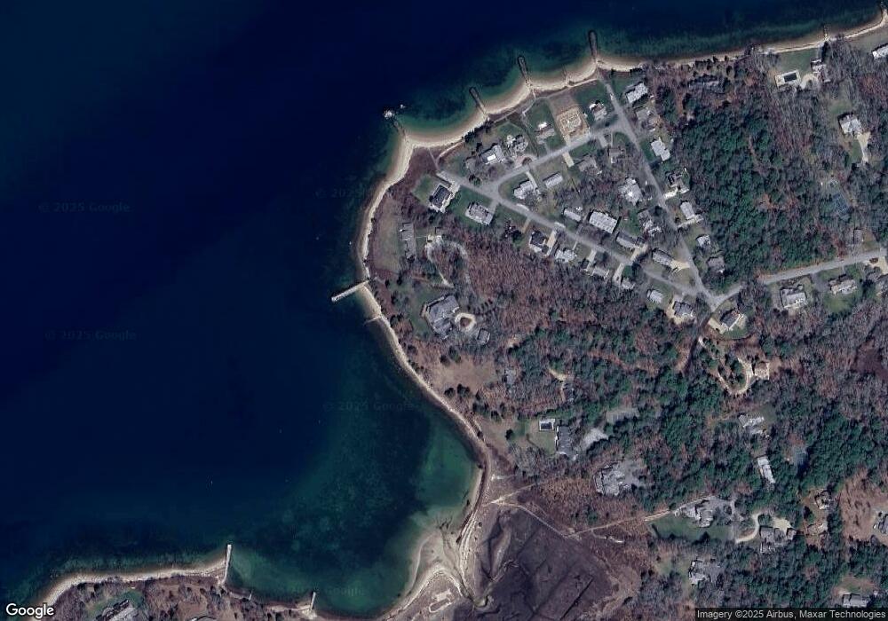
Map
Nearby Homes
- 74 Old Rd N
- 70 Old North Rd
- 70 Old Rd N
- 76 Old North Rd
- 33 Beacon Point Rd
- 29 Beacon Point Rd
- 37 Beacon Point Rd
- 76 North Rd
- 25 Beacon Point Rd
- 21 Beacon Point Rd
- 4 Middle Way
- 36 Beacon Point Rd
- 17 Beacon Point Rd
- 1 Middle Way
- 18 Beacon Point Rd
- 8 Middle Way
- 80 Old Rd N
- 80 Old North Rd
- 5 Middle Way
- 16 Beacon Point Rd