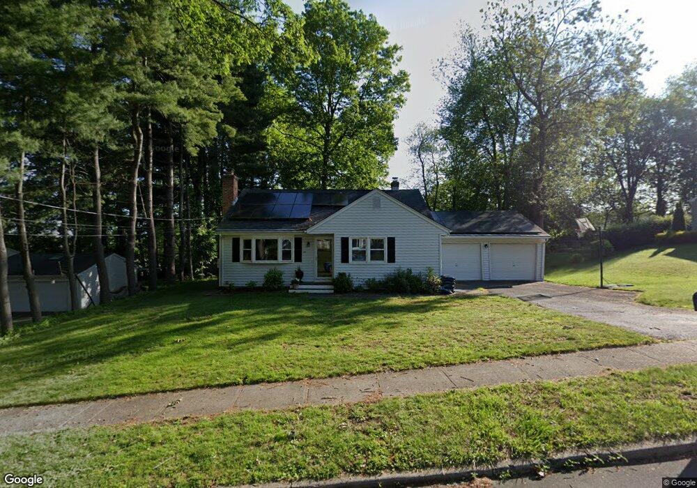
74 Oriole Ln Milford, CT 06460
Woodmont NeighborhoodEstimated Value: $469,189 - $587,000
3
Beds
2
Baths
901
Sq Ft
$590/Sq Ft
Est. Value
About This Home
This home is located at 74 Oriole Ln, Milford, CT 06460 and is currently estimated at $531,797, approximately $590 per square foot. 74 Oriole Ln is a home located in New Haven County with nearby schools including Orchard Hills School, East Shore Middle School, and Joseph A. Foran High School.
Ownership History
Date
Name
Owned For
Owner Type
Purchase Details
Closed on
Jun 25, 2010
Sold by
Spaulding Robert E and Spaulding Susan A
Bought by
Deyoung Adam J and Deyoung Jessica A
Current Estimated Value
Home Financials for this Owner
Home Financials are based on the most recent Mortgage that was taken out on this home.
Original Mortgage
$273,319
Outstanding Balance
$183,269
Interest Rate
4.98%
Estimated Equity
$348,528
Create a Home Valuation Report for This Property
The Home Valuation Report is an in-depth analysis detailing your home's value as well as a comparison with similar homes in the area
Home Values in the Area
Average Home Value in this Area
Purchase History
| Date | Buyer | Sale Price | Title Company |
|---|---|---|---|
| Deyoung Adam J | $277,000 | -- | |
| Deyoung Adam J | $277,000 | -- |
Source: Public Records
Mortgage History
| Date | Status | Borrower | Loan Amount |
|---|---|---|---|
| Open | Deyoung Adam J | $273,319 | |
| Closed | Deyoung Adam J | $273,319 | |
| Previous Owner | Deyoung Adam J | $145,100 | |
| Previous Owner | Deyoung Adam J | $51,060 |
Source: Public Records
Tax History Compared to Growth
Tax History
| Year | Tax Paid | Tax Assessment Tax Assessment Total Assessment is a certain percentage of the fair market value that is determined by local assessors to be the total taxable value of land and additions on the property. | Land | Improvement |
|---|---|---|---|---|
| 2025 | $6,902 | $233,560 | $105,880 | $127,680 |
| 2024 | $6,806 | $233,560 | $105,880 | $127,680 |
| 2023 | $6,346 | $233,560 | $105,880 | $127,680 |
| 2022 | $6,224 | $233,560 | $105,880 | $127,680 |
| 2021 | $5,455 | $197,280 | $80,700 | $116,580 |
| 2020 | $5,461 | $197,280 | $80,700 | $116,580 |
| 2019 | $5,467 | $197,280 | $80,700 | $116,580 |
| 2018 | $5,473 | $197,280 | $80,700 | $116,580 |
| 2017 | $5,482 | $197,280 | $80,700 | $116,580 |
| 2016 | $5,388 | $193,540 | $80,700 | $112,840 |
| 2015 | $5,396 | $193,540 | $80,700 | $112,840 |
| 2014 | $5,268 | $193,540 | $80,700 | $112,840 |
Source: Public Records
Map
Nearby Homes
- 647 New Haven Ave
- 200 Marino Dr
- 18 Barton Rd
- 404 Buckingham Ave
- 126 Baxter Ln
- 44 Clark Hill Rd
- 25 Carmen Rd
- 342 New Haven Ave
- 44 Chester St
- 288 Welchs Point Rd
- 822 New Haven Ave
- 470 Pond Point Ave
- 25 Summer Place
- 15 Alpha St
- 99 Timber Trail
- 97 Carriage Path S Unit 97
- 91 Shelter Cove Rd
- 5 Vine St
- 7 Orland St
- 44 Beachland Ave