74 Pension Ridge Rd Boothbay, ME 04537
Estimated Value: $580,000 - $792,000
3
Beds
2
Baths
2,079
Sq Ft
$343/Sq Ft
Est. Value
About This Home
This home is located at 74 Pension Ridge Rd, Boothbay, ME 04537 and is currently estimated at $712,582, approximately $342 per square foot. 74 Pension Ridge Rd is a home located in Lincoln County with nearby schools including Boothbay Region Elementary School, Boothbay Region High School, and The Deck House School.
Ownership History
Date
Name
Owned For
Owner Type
Purchase Details
Closed on
Aug 26, 2010
Sold by
Szczech Thaddeus J and Szczech Julie
Bought by
Guzzi Dante and Guzzi Kelly A
Current Estimated Value
Home Financials for this Owner
Home Financials are based on the most recent Mortgage that was taken out on this home.
Original Mortgage
$36,000
Outstanding Balance
$23,928
Interest Rate
4.57%
Mortgage Type
Purchase Money Mortgage
Estimated Equity
$688,654
Create a Home Valuation Report for This Property
The Home Valuation Report is an in-depth analysis detailing your home's value as well as a comparison with similar homes in the area
Home Values in the Area
Average Home Value in this Area
Purchase History
| Date | Buyer | Sale Price | Title Company |
|---|---|---|---|
| Guzzi Dante | -- | -- |
Source: Public Records
Mortgage History
| Date | Status | Borrower | Loan Amount |
|---|---|---|---|
| Open | Guzzi Dante | $36,000 |
Source: Public Records
Tax History Compared to Growth
Tax History
| Year | Tax Paid | Tax Assessment Tax Assessment Total Assessment is a certain percentage of the fair market value that is determined by local assessors to be the total taxable value of land and additions on the property. | Land | Improvement |
|---|---|---|---|---|
| 2024 | $5,964 | $525,443 | $241,600 | $283,843 |
| 2023 | $5,281 | $525,443 | $241,600 | $283,843 |
| 2022 | $4,887 | $525,443 | $241,600 | $283,843 |
| 2021 | $5,018 | $525,443 | $241,600 | $283,843 |
| 2020 | $5,044 | $525,443 | $241,600 | $283,843 |
| 2019 | $4,965 | $525,443 | $241,600 | $283,843 |
| 2018 | $4,887 | $525,443 | $241,600 | $283,843 |
| 2017 | $5,721 | $621,800 | $324,500 | $297,300 |
| 2016 | $5,472 | $621,800 | $324,500 | $297,300 |
| 2015 | $5,441 | $621,800 | $324,500 | $297,300 |
| 2014 | $5,168 | $608,000 | $324,500 | $283,500 |
Source: Public Records
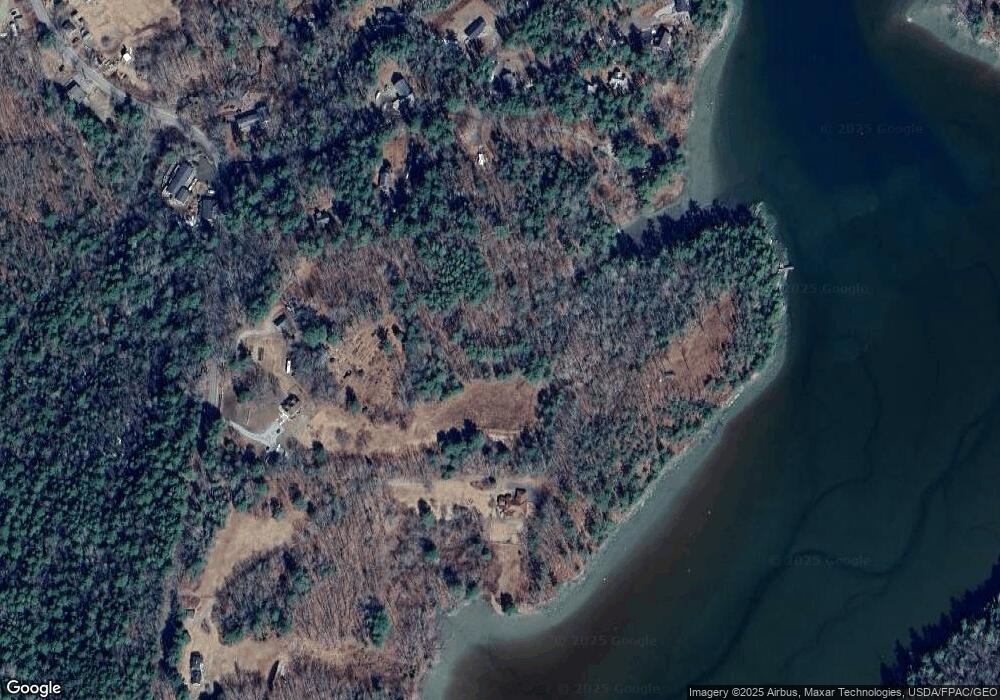
Map
Nearby Homes
- 50 Hardwick Rd
- 494 Wiscasset Rd
- 5 Hillside Place Unit 2
- 105-26 Back Eighty Rd
- 96 Forest Haven Rd
- 3-10 Industrial Park Rd
- 62 Murphy Rd
- 5 Moose Ridge Crossing
- 670 Wiscasset Rd
- 693 Wiscasset Rd
- 86 Firth Dr
- 32 Murray Hill Rd
- 29 Wiscasset Rd
- 29 Good Day Dr
- 1 Good Day Dr
- 24 Marble Ledge Dr
- 25 Pineview Ridge Rd
- 9 Tomcat Trail
- 712 Back River Rd
- 576 Back River Rd
- 70 Pension Ridge Rd
- 15 Townsend Ln
- 19 Townsend Ln
- 00 Townsend
- 0 Townsend Ln Unit 1020919
- 0 Townsend Ln Unit 1103687
- 0 Townsend Ln Unit 1226135
- 0 Townsend Ln Unit 1277176
- 00 Pension Ridge Rd
- 108 Pension Ridge Rd
- 104 Pension Ridge Rd
- 4 Townsend Ln
- 18 Townsend Ln
- 114 Pension Ridge Rd
- 27 Pension Ridge Rd
- 32 Pension Ridge Rd
- 19 Pinkham Ln
- Lot 9 E Wynd Subdivision
- 25 Townsend Ln
- Lot 9 Townsend Ln