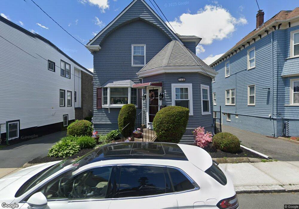
74 Read St Winthrop, MA 02152
Downtown Winthrop NeighborhoodEstimated Value: $741,344 - $833,000
4
Beds
2
Baths
1,965
Sq Ft
$402/Sq Ft
Est. Value
About This Home
This home is located at 74 Read St, Winthrop, MA 02152 and is currently estimated at $789,586, approximately $401 per square foot. 74 Read St is a home located in Suffolk County with nearby schools including William P. Gorman/Fort Banks Elementary School, Arthur T. Cummings Elementary School, and Winthrop Middle School.
Ownership History
Date
Name
Owned For
Owner Type
Purchase Details
Closed on
Oct 29, 2010
Sold by
3 Hellender Ft and Hellender Ethyl M
Bought by
Hellender Arthur D and Hellender Ethyl M
Current Estimated Value
Create a Home Valuation Report for This Property
The Home Valuation Report is an in-depth analysis detailing your home's value as well as a comparison with similar homes in the area
Home Values in the Area
Average Home Value in this Area
Purchase History
| Date | Buyer | Sale Price | Title Company |
|---|---|---|---|
| Hellender Arthur D | -- | -- |
Source: Public Records
Tax History
| Year | Tax Paid | Tax Assessment Tax Assessment Total Assessment is a certain percentage of the fair market value that is determined by local assessors to be the total taxable value of land and additions on the property. | Land | Improvement |
|---|---|---|---|---|
| 2025 | $6,621 | $641,600 | $338,800 | $302,800 |
| 2024 | $6,799 | $652,500 | $325,600 | $326,900 |
| 2023 | $6,293 | $588,100 | $298,000 | $290,100 |
| 2022 | $6,073 | $516,400 | $266,200 | $250,200 |
| 2021 | $6,031 | $475,600 | $237,700 | $237,900 |
| 2020 | $6,002 | $475,600 | $237,700 | $237,900 |
| 2019 | $5,876 | $445,800 | $219,000 | $226,800 |
| 2018 | $5,715 | $403,600 | $188,000 | $215,600 |
| 2017 | $5,277 | $366,200 | $166,400 | $199,800 |
| 2016 | $5,221 | $339,700 | $144,700 | $195,000 |
| 2015 | $4,742 | $330,700 | $140,500 | $190,200 |
| 2014 | $4,753 | $305,100 | $130,700 | $174,400 |
Source: Public Records
Map
Nearby Homes
- 14 Pleasant Park Rd
- 550 Pleasant St Unit 506
- 50-52 Wilshire St
- 56 Main St
- 426 Winthrop St
- 441 Winthrop St
- 100 Governors Dr Unit 118
- 800 Governors Dr Unit 6
- 35 Somerset Ave Unit 6
- 10 Somerset Ave Unit 403
- 10 Somerset Ave Unit 404
- 10 Somerset Ave Unit 401
- 10 Somerset Ave Unit 207
- 10 Somerset Ave Unit 304
- 10 Somerset Ave Unit 408
- 10 Somerset Ave Unit 201
- 10 Somerset Ave Unit 405
- 10 Somerset Ave Unit 308
- 10 Somerset Ave Unit 211
- 10 Somerset Ave Unit 206
Your Personal Tour Guide
Ask me questions while you tour the home.