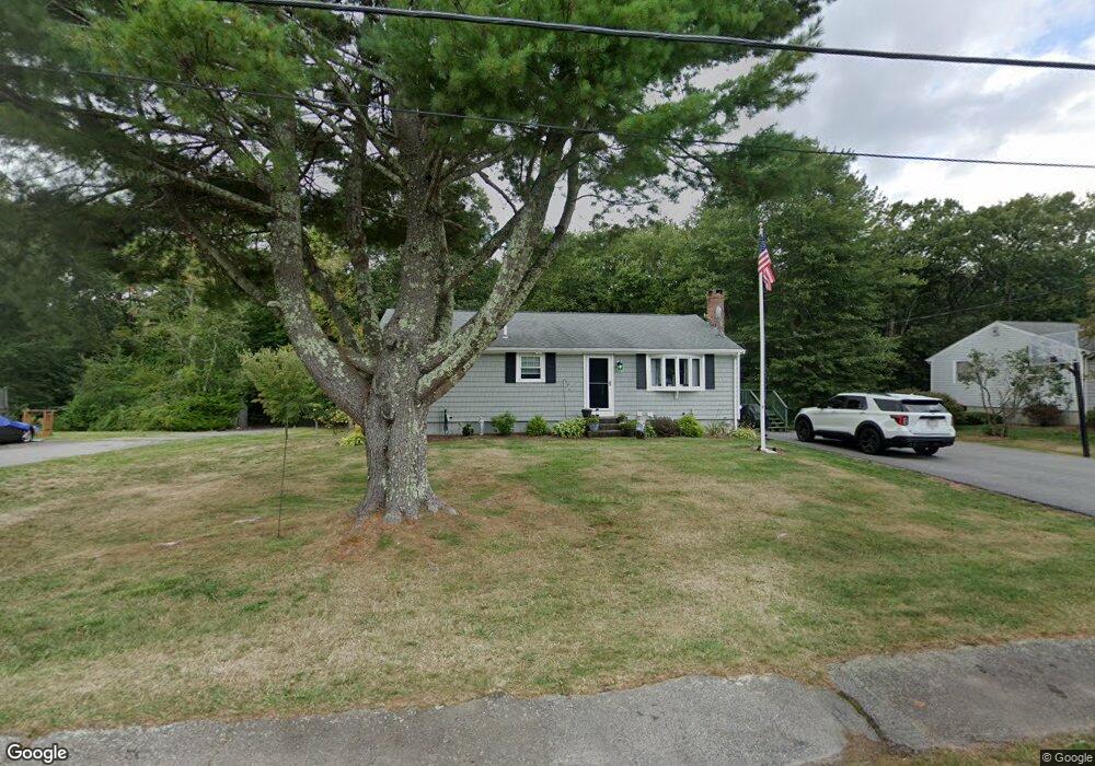
74 Rowena Ave Whitman, MA 02382
Estimated Value: $546,000 - $657,000
3
Beds
1
Bath
1,430
Sq Ft
$415/Sq Ft
Est. Value
About This Home
This home is located at 74 Rowena Ave, Whitman, MA 02382 and is currently estimated at $593,321, approximately $414 per square foot. 74 Rowena Ave is a home located in Plymouth County with nearby schools including St Bridget School.
Ownership History
Date
Name
Owned For
Owner Type
Purchase Details
Closed on
Jul 31, 2002
Sold by
Martin-Gows Sandra A
Bought by
Johnston Kathleen M and Johnston Mark E
Current Estimated Value
Purchase Details
Closed on
Oct 27, 1995
Sold by
Cheney Joseph C and Cheney Ann C
Bought by
Martin-Gows Sandra A
Create a Home Valuation Report for This Property
The Home Valuation Report is an in-depth analysis detailing your home's value as well as a comparison with similar homes in the area
Home Values in the Area
Average Home Value in this Area
Purchase History
| Date | Buyer | Sale Price | Title Company |
|---|---|---|---|
| Johnston Kathleen M | $256,900 | -- | |
| Martin-Gows Sandra A | $135,000 | -- |
Source: Public Records
Mortgage History
| Date | Status | Borrower | Loan Amount |
|---|---|---|---|
| Open | Martin-Gows Sandra A | $314,000 | |
| Closed | Martin-Gows Sandra A | $299,000 | |
| Closed | Martin-Gows Sandra A | $275,000 |
Source: Public Records
Tax History Compared to Growth
Tax History
| Year | Tax Paid | Tax Assessment Tax Assessment Total Assessment is a certain percentage of the fair market value that is determined by local assessors to be the total taxable value of land and additions on the property. | Land | Improvement |
|---|---|---|---|---|
| 2025 | $6,270 | $477,900 | $217,400 | $260,500 |
| 2024 | $5,904 | $463,400 | $213,200 | $250,200 |
| 2023 | $5,442 | $401,000 | $184,800 | $216,200 |
| 2022 | $5,291 | $363,400 | $168,000 | $195,400 |
| 2021 | $5,329 | $343,800 | $162,800 | $181,000 |
| 2020 | $5,135 | $324,000 | $154,400 | $169,600 |
| 2019 | $4,782 | $310,900 | $154,400 | $156,500 |
| 2018 | $4,633 | $289,400 | $147,000 | $142,400 |
| 2017 | $4,364 | $289,400 | $147,000 | $142,400 |
| 2016 | $3,943 | $252,900 | $131,300 | $121,600 |
| 2015 | $3,948 | $252,900 | $131,300 | $121,600 |
Source: Public Records
Map
Nearby Homes
- 521 Franklin St
- 150 Franklin St
- 84 Washington St
- 281 Commercial St
- 325 Commercial St
- 190 W Washington St
- 54-56 Stetson St
- 842 Whitman St
- 23 Reed Place
- 82 Tavern Way
- 154 Auburn St
- 159 Auburn St
- 157 Auburn St Unit 157
- 8 Wild Turkey Ln
- 48 Day St
- 96 Cherry St Unit 98
- 150 Harvard St
- 9 Daisy Ln
- 22 Howland Trail Unit 34
- The Hanson Plan at Cushing Trails