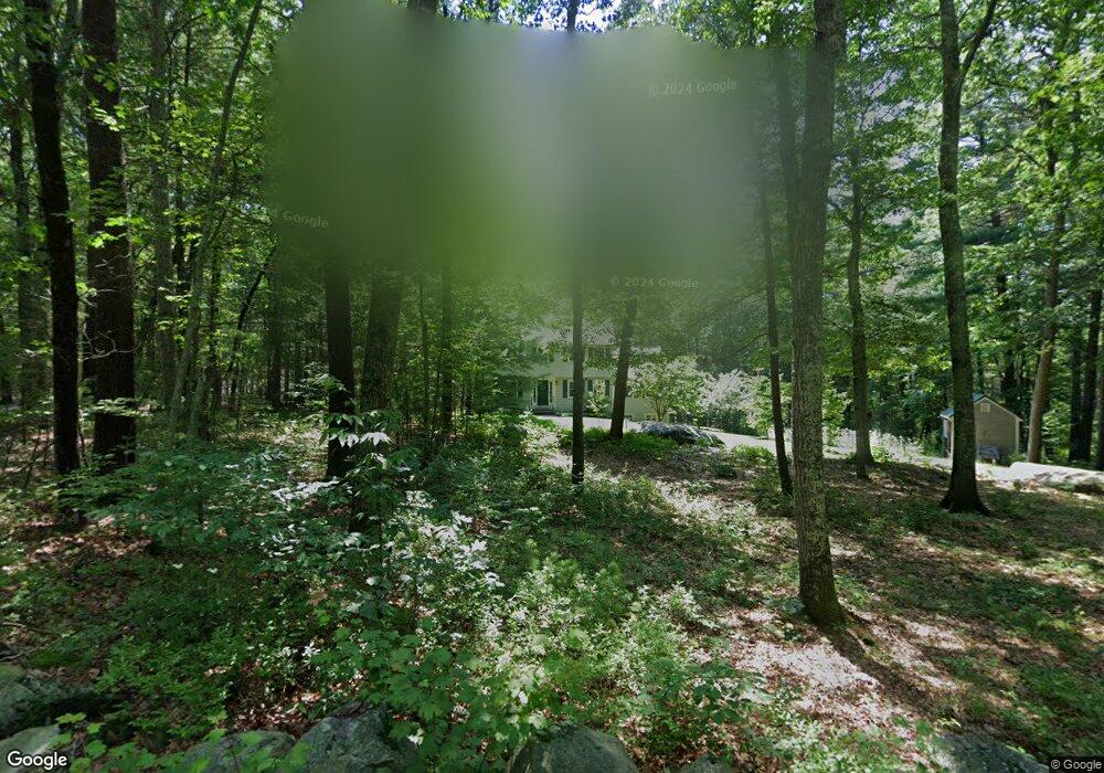
74 S Shaker Rd Harvard, MA 01451
Estimated Value: $805,000 - $948,000
3
Beds
3
Baths
2,253
Sq Ft
$381/Sq Ft
Est. Value
About This Home
This home is located at 74 S Shaker Rd, Harvard, MA 01451 and is currently estimated at $859,000, approximately $381 per square foot. 74 S Shaker Rd is a home located in Worcester County with nearby schools including Hildreth Elementary School, The Bromfield School, and Applewild School - Devens Campus.
Ownership History
Date
Name
Owned For
Owner Type
Purchase Details
Closed on
Aug 15, 1996
Sold by
Gavin Thomas O and Gavin Barbara
Bought by
Lainhart Todd W and Briggs Sharon
Current Estimated Value
Home Financials for this Owner
Home Financials are based on the most recent Mortgage that was taken out on this home.
Original Mortgage
$195,000
Outstanding Balance
$15,237
Interest Rate
8.08%
Mortgage Type
Purchase Money Mortgage
Estimated Equity
$843,763
Create a Home Valuation Report for This Property
The Home Valuation Report is an in-depth analysis detailing your home's value as well as a comparison with similar homes in the area
Home Values in the Area
Average Home Value in this Area
Purchase History
| Date | Buyer | Sale Price | Title Company |
|---|---|---|---|
| Lainhart Todd W | $295,000 | -- |
Source: Public Records
Mortgage History
| Date | Status | Borrower | Loan Amount |
|---|---|---|---|
| Open | Lainhart Todd W | $30,000 | |
| Open | Lainhart Todd W | $195,000 | |
| Previous Owner | Lainhart Todd W | $90,000 |
Source: Public Records
Tax History
| Year | Tax Paid | Tax Assessment Tax Assessment Total Assessment is a certain percentage of the fair market value that is determined by local assessors to be the total taxable value of land and additions on the property. | Land | Improvement |
|---|---|---|---|---|
| 2025 | $11,230 | $717,600 | $269,000 | $448,600 |
| 2024 | $10,692 | $717,600 | $269,000 | $448,600 |
| 2023 | $10,654 | $641,400 | $249,100 | $392,300 |
| 2022 | $9,879 | $551,600 | $235,000 | $316,600 |
| 2021 | $9,672 | $515,000 | $235,000 | $280,000 |
| 2020 | $9,157 | $495,800 | $235,000 | $260,800 |
| 2019 | $8,778 | $503,900 | $235,000 | $268,900 |
| 2018 | $6,672 | $519,400 | $235,000 | $284,400 |
| 2017 | $8,415 | $464,900 | $195,000 | $269,900 |
| 2016 | $8,391 | $464,900 | $195,000 | $269,900 |
| 2015 | $8,327 | $468,100 | $191,000 | $277,100 |
| 2014 | $8,000 | $468,100 | $191,000 | $277,100 |
Source: Public Records
Map
Nearby Homes
- 18A S Shaker Rd
- 78 Shaker Rd
- 0 Ayer & Old Mill Rd
- 4 Old Meadow Ln
- 7 Baldwin Ct Unit 7
- 9 Blanchard Rd
- 37 Willard St
- 107 Old Mill Rd
- 24 Harvard Rd Unit C
- 17 Chestnut Ln
- 75 Sandy Pond Rd Unit 24
- 75 Sandy Pond Rd Unit 41
- 63 E Main St
- 100 Central Ave Unit 4
- 25 Pine Ridge Dr
- 239 Ayer Rd Unit 16
- 239 Ayer Rd Unit 46
- 8 Woodchuck Hill Rd
- 21 High St
- 54 Prospect Hill Rd
- 70 S Shaker Rd
- 76 S Shaker Rd
- 73 S Shaker Rd
- 68 S Shaker Rd
- 78 S Shaker Rd
- Lot A So Shaker Rd
- 66 S Shaker Rd
- 69 S Shaker Rd
- Lot A S Shaker Rd
- 63 S Shaker Rd
- 0 Ann Lee Rd
- 82 S Shaker Rd
- 82 S Shaker Rd Unit 1
- 82 S Shaker Rd
- 80 S Shaker Rd
- 84 S Shaker Rd
- 62 S Shaker Rd
- 92 S Shaker Rd
- 10 Ann Lee Rd
- 12 Ann Lee Rd
Your Personal Tour Guide
Ask me questions while you tour the home.