Estimated Value: $256,000 - $279,194
1
Bed
1
Bath
864
Sq Ft
$310/Sq Ft
Est. Value
About This Home
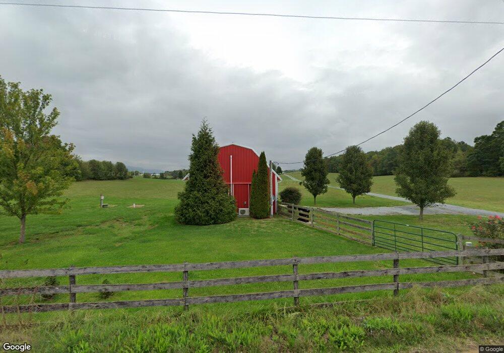
This home is located at 740 Cave Hill Rd, Luray, VA 22835 and is currently estimated at $267,597, approximately $309 per square foot. 740 Cave Hill Rd is a home located in Page County with nearby schools including Mt. Carmel Christian Academy.
Ownership History
Date
Name
Owned For
Owner Type
Purchase Details
Closed on
Apr 14, 2022
Sold by
Shenk Ronald L and Shenk Pamela B
Bought by
Evers-Kerner Clark and Mahoney-Kerner Gloria L
Current Estimated Value
Home Financials for this Owner
Home Financials are based on the most recent Mortgage that was taken out on this home.
Original Mortgage
$212,150
Outstanding Balance
$200,740
Interest Rate
4.98%
Mortgage Type
Construction
Estimated Equity
$66,857
Create a Home Valuation Report for This Property
The Home Valuation Report is an in-depth analysis detailing your home's value as well as a comparison with similar homes in the area
Home Values in the Area
Average Home Value in this Area
Purchase History
| Date | Buyer | Sale Price | Title Company |
|---|---|---|---|
| Evers-Kerner Clark | $236,000 | -- |
Source: Public Records
Mortgage History
| Date | Status | Borrower | Loan Amount |
|---|---|---|---|
| Open | Evers-Kerner Clark | $212,150 |
Source: Public Records
Tax History Compared to Growth
Tax History
| Year | Tax Paid | Tax Assessment Tax Assessment Total Assessment is a certain percentage of the fair market value that is determined by local assessors to be the total taxable value of land and additions on the property. | Land | Improvement |
|---|---|---|---|---|
| 2025 | $1,136 | $155,600 | $57,100 | $98,500 |
| 2024 | $1,136 | $155,600 | $57,100 | $98,500 |
| 2023 | $1,021 | $155,600 | $57,100 | $98,500 |
| 2022 | $906 | $155,600 | $57,100 | $98,500 |
| 2021 | $906 | $155,600 | $57,100 | $98,500 |
| 2020 | $575 | $99,600 | $41,400 | $58,200 |
| 2019 | $569 | $98,800 | $41,400 | $57,400 |
| 2018 | $546 | $78,000 | $20,600 | $57,400 |
| 2017 | $515 | $78,000 | $20,600 | $57,400 |
| 2016 | $515 | $78,000 | $20,600 | $57,400 |
| 2015 | $671 | $104,900 | $30,600 | $74,300 |
| 2014 | $671 | $104,900 | $30,600 | $74,300 |
Source: Public Records
Map
Nearby Homes
- 267 Baker Dr
- Delmar Plan at Luray Landing
- 0 Baker Dr
- 0 General Dr & Alison Dr Unit VAPA2002608
- St. Ashley Plan at Luray Landing
- 164 Rae Ct
- 160 Rae Ct
- 156 Rae Ct
- 148 Rae Ct
- 144 Rae Ct
- 140 Rae Ct
- 115 Rae Ct
- 0 General Dr
- 613 Airport Rd
- 1819 Us Highway 211 W
- 34 Spirea Place
- 750 W Main St
- 173 Baker Dr
- 144 Baker Dr
- 268 Shenandoah Dr
- 15 Patriot Way
- 162 Rumsey Farm Ln
- 107 Patriot Way
- 163 Rumsey Farm Ln
- 100 Baker Dr
- 104 Baker Dr
- 465 Baker Dr
- TBD3 Cave Hill Rd
- 125 Rumsey Farm Ln
- 120 Baker Dr
- 124 Baker Dr
- 128 Baker Dr
- 111 Baker Dr
- 0 Patriot Way Unit 653273
- 0 Patriot Way Unit VAPA2003610
- 0 Patriot Way Unit 627166
- 0 Patriot Way Unit VAPA2000914
- 119 Baker Dr
- 136 Baker Dr
- 140 Baker Dr