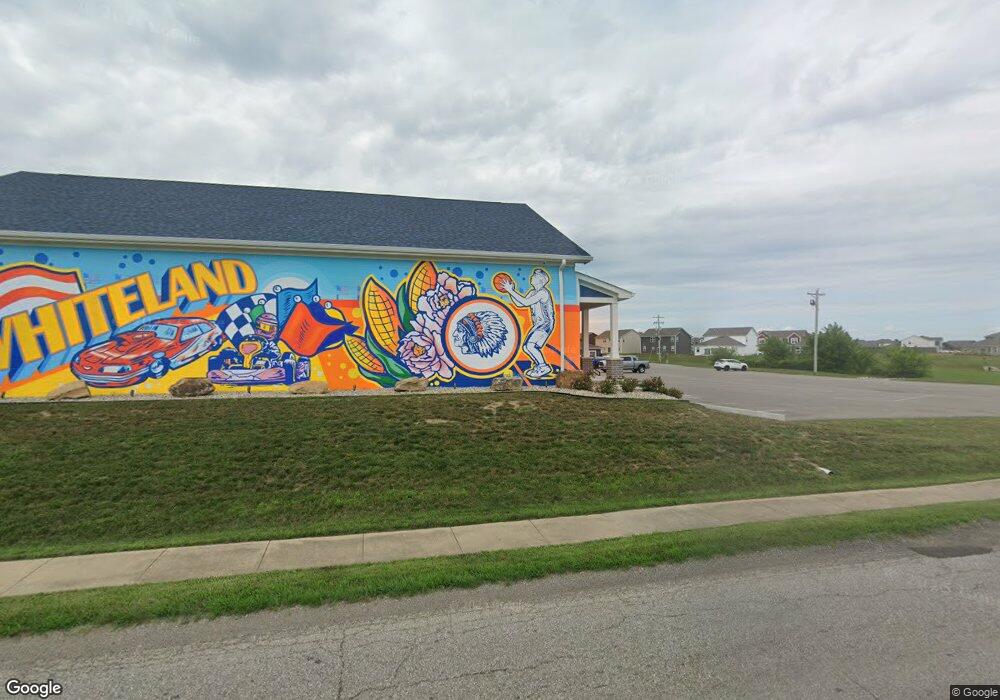
740 E Main St Whiteland, IN 46184
Estimated Value: $509,163
--
Bed
--
Bath
9,806
Sq Ft
$52/Sq Ft
Est. Value
About This Home
This home is located at 740 E Main St, Whiteland, IN 46184 and is currently estimated at $509,163, approximately $51 per square foot. 740 E Main St is a home located in Johnson County with nearby schools including Whiteland Elementary School, Clark-Pleasant Middle School, and Whiteland Community High School.
Ownership History
Date
Name
Owned For
Owner Type
Purchase Details
Closed on
Sep 5, 2012
Sold by
Smith Delbert M
Bought by
Wood Michael and Wrigley Real Estate Holdings Llc
Current Estimated Value
Create a Home Valuation Report for This Property
The Home Valuation Report is an in-depth analysis detailing your home's value as well as a comparison with similar homes in the area
Home Values in the Area
Average Home Value in this Area
Purchase History
| Date | Buyer | Sale Price | Title Company |
|---|---|---|---|
| Wood Michael | -- | None Available |
Source: Public Records
Tax History Compared to Growth
Tax History
| Year | Tax Paid | Tax Assessment Tax Assessment Total Assessment is a certain percentage of the fair market value that is determined by local assessors to be the total taxable value of land and additions on the property. | Land | Improvement |
|---|---|---|---|---|
| 2025 | $13,208 | $2,843,100 | $415,500 | $2,427,600 |
| 2024 | $13,208 | $361,700 | $167,200 | $194,500 |
| 2023 | $8,572 | $370,500 | $167,200 | $203,300 |
| 2022 | $8,874 | $371,100 | $167,200 | $203,900 |
| 2021 | $8,645 | $352,200 | $167,200 | $185,000 |
| 2020 | $9,226 | $362,700 | $161,600 | $201,100 |
| 2019 | $9,070 | $351,400 | $149,600 | $201,800 |
| 2018 | $9,787 | $351,400 | $149,600 | $201,800 |
| 2017 | $10,002 | $378,100 | $149,600 | $228,500 |
| 2016 | $6,723 | $239,800 | $136,700 | $103,100 |
| 2014 | $7,032 | $239,100 | $136,700 | $102,400 |
| 2013 | $7,032 | $243,700 | $136,700 | $107,000 |
Source: Public Records
Map
Nearby Homes
- 630 Walnut St
- 650 E Pearl St
- Henley Plan at Saddlebrook Farms
- Fairfax Plan at Saddlebrook Farms - North
- 841 E Pearl St
- Henley Plan at Saddlebrook Farms - North
- Freeport Plan at Saddlebrook Farms - North
- Johnstown Plan at Saddlebrook Farms - North
- Dayton Plan at Saddlebrook Farms - North
- Chatham Plan at Saddlebrook Farms - North
- Dayton Plan at Saddlebrook Farms
- Harmony Plan at Saddlebrook Farms - North
- Johnstown Plan at Saddlebrook Farms
- Stamford Plan at Saddlebrook Farms - North
- 905 Saddlebrook Farms Blvd
- 935 Saddlebrook Farms Blvd
- 0 N 200 (Honey Creek Rd ) W Unit MBR21845718
- 930 Saddlebrook Farms Blvd
- 60 Benfield Dr
- 50 Benfield Dr