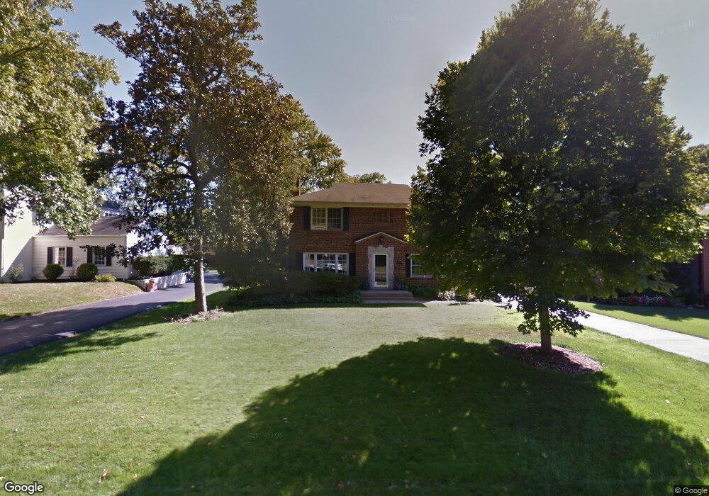
740 Hawbrook Rd Saint Louis, MO 63122
Estimated Value: $1,012,000 - $1,161,000
4
Beds
3
Baths
3,265
Sq Ft
$329/Sq Ft
Est. Value
About This Home
This home is located at 740 Hawbrook Rd, Saint Louis, MO 63122 and is currently estimated at $1,074,906, approximately $329 per square foot. 740 Hawbrook Rd is a home located in St. Louis County with nearby schools including North Glendale Elementary School, Nipher Middle School, and Kirkwood Senior High School.
Ownership History
Date
Name
Owned For
Owner Type
Purchase Details
Closed on
Jul 23, 2013
Sold by
Murch Mitchell M
Bought by
Satterly Matthew and Satiterly Elizabeth M
Current Estimated Value
Home Financials for this Owner
Home Financials are based on the most recent Mortgage that was taken out on this home.
Original Mortgage
$594,000
Outstanding Balance
$433,201
Interest Rate
3.99%
Mortgage Type
New Conventional
Estimated Equity
$641,705
Purchase Details
Closed on
Jul 18, 2007
Sold by
Galvin Kevin P and Galvin Cynthia A
Bought by
Murch Ii Mitchell M and Murch Catherine S
Home Financials for this Owner
Home Financials are based on the most recent Mortgage that was taken out on this home.
Original Mortgage
$152,980
Interest Rate
8.87%
Mortgage Type
Stand Alone Second
Create a Home Valuation Report for This Property
The Home Valuation Report is an in-depth analysis detailing your home's value as well as a comparison with similar homes in the area
Home Values in the Area
Average Home Value in this Area
Purchase History
| Date | Buyer | Sale Price | Title Company |
|---|---|---|---|
| Satterly Matthew | $594,000 | Investors Title Co Clayton | |
| Murch Ii Mitchell M | $764,900 | None Available |
Source: Public Records
Mortgage History
| Date | Status | Borrower | Loan Amount |
|---|---|---|---|
| Open | Satterly Matthew | $594,000 | |
| Previous Owner | Murch Ii Mitchell M | $152,980 | |
| Previous Owner | Murch Ii Mitchell M | $611,920 |
Source: Public Records
Tax History Compared to Growth
Tax History
| Year | Tax Paid | Tax Assessment Tax Assessment Total Assessment is a certain percentage of the fair market value that is determined by local assessors to be the total taxable value of land and additions on the property. | Land | Improvement |
|---|---|---|---|---|
| 2025 | $9,915 | $196,370 | $87,650 | $108,720 |
| 2024 | $9,915 | $151,850 | $58,430 | $93,420 |
| 2023 | $9,915 | $151,850 | $58,430 | $93,420 |
| 2022 | $8,969 | $129,920 | $59,890 | $70,030 |
| 2021 | $8,844 | $129,920 | $59,890 | $70,030 |
| 2020 | $9,570 | $134,490 | $44,920 | $89,570 |
| 2019 | $9,331 | $134,490 | $44,920 | $89,570 |
| 2018 | $9,174 | $118,350 | $38,320 | $80,030 |
| 2017 | $9,244 | $118,350 | $38,320 | $80,030 |
| 2016 | $8,758 | $112,860 | $34,470 | $78,390 |
| 2015 | $8,379 | $112,860 | $34,470 | $78,390 |
| 2014 | $7,591 | $100,110 | $26,600 | $73,510 |
Source: Public Records
Map
Nearby Homes
- 735 Oakway Place
- 729 W Lockwood Ave
- 12 Country Club Terrace
- 664 Hawbrook Ave
- 415 Luther Ct
- 808 E Essex Ave
- 115 Park Ave
- 807 E Essex Ave
- 832 Fuhrmann Terrace
- 664 E Argonne Dr
- 832 Hanamoor Ct
- 436 N Sappington Rd Unit C
- 439 Longview Blvd
- 720 Cranbrook Dr
- 810 Brownell Ave
- 754 Brownell Ave
- 946 Dwyer Ave
- 858 Chelsea Ave
- 987 Dwyer Ave
- 438 Miriam Ave
- 750 Hawbrook Rd
- 730 Hawbrook Rd
- 727 Oakway Place
- 733 Oakway Place
- 800 Hawbrook Rd
- 721 Oakway Place
- 720 Hawbrook Rd
- 715 Oakway Place
- 751 Hawbrook Rd
- 741 Hawbrook Rd
- 713 Oakway Place
- 731 Hawbrook Rd
- 808 Hawbrook Rd
- 711 Oakway Place
- 801 Oakway Place
- 710 Hawbrook Rd
- 721 Hawbrook Rd
- 807 Hawbrook Rd
- 705 Oakway Place
- 720 Oakway Place