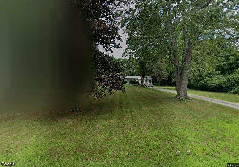
740 Hooksett Rd Auburn, NH 03032
Estimated Value: $640,000 - $769,000
5
Beds
3
Baths
3,165
Sq Ft
$213/Sq Ft
Est. Value
About This Home
This home is located at 740 Hooksett Rd, Auburn, NH 03032 and is currently estimated at $674,159, approximately $213 per square foot. 740 Hooksett Rd is a home located in Rockingham County with nearby schools including Auburn Village School, Pinkerton Academy, and Auburn Montessori School.
Ownership History
Date
Name
Owned For
Owner Type
Purchase Details
Closed on
Mar 13, 2008
Sold by
Lasalle Bank Na
Bought by
Beck Richard and Beck Sheila
Current Estimated Value
Purchase Details
Closed on
Nov 6, 2007
Sold by
Laliberte Richard C
Bought by
Lasalle Bank Na
Purchase Details
Closed on
Aug 19, 1999
Sold by
Cote Eric and Cote Nancy E
Bought by
Laliberte Richard C
Purchase Details
Closed on
Dec 7, 1998
Sold by
Cote Kenneth G
Bought by
Cote Eric and Cote Nancy E
Create a Home Valuation Report for This Property
The Home Valuation Report is an in-depth analysis detailing your home's value as well as a comparison with similar homes in the area
Home Values in the Area
Average Home Value in this Area
Purchase History
| Date | Buyer | Sale Price | Title Company |
|---|---|---|---|
| Beck Richard | $190,000 | -- | |
| Lasalle Bank Na | $282,100 | -- | |
| Laliberte Richard C | $139,900 | -- | |
| Cote Eric | $47,000 | -- |
Source: Public Records
Mortgage History
| Date | Status | Borrower | Loan Amount |
|---|---|---|---|
| Open | Cote Eric | $25,000 | |
| Open | Cote Eric | $192,500 |
Source: Public Records
Tax History
| Year | Tax Paid | Tax Assessment Tax Assessment Total Assessment is a certain percentage of the fair market value that is determined by local assessors to be the total taxable value of land and additions on the property. | Land | Improvement |
|---|---|---|---|---|
| 2025 | $7,241 | $521,700 | $182,900 | $338,800 |
| 2024 | $7,027 | $521,700 | $182,900 | $338,800 |
| 2023 | $6,221 | $493,300 | $182,900 | $310,400 |
| 2022 | $5,667 | $317,500 | $134,000 | $183,500 |
| 2021 | $5,759 | $317,500 | $134,000 | $183,500 |
| 2020 | $5,867 | $317,500 | $134,000 | $183,500 |
| 2019 | $5,936 | $315,600 | $134,000 | $181,600 |
| 2018 | $5,384 | $315,600 | $134,000 | $181,600 |
| 2017 | $6,883 | $258,700 | $133,100 | $125,600 |
| 2016 | $5,239 | $258,700 | $133,100 | $125,600 |
| 2015 | $5,358 | $258,700 | $133,100 | $125,600 |
| 2014 | $5,513 | $258,700 | $133,100 | $125,600 |
| 2013 | $5,136 | $262,200 | $137,200 | $125,000 |
Source: Public Records
Map
Nearby Homes
- 10 Harvard Ave
- 14 Overlook Cir
- 22 Sunrise Cir
- 15 Joanne Dr
- 192 Londonderry Turnpike
- 100 Dartmouth Dr
- 80 Dartmouth Dr
- 52 the Cliffs at Evergreen Dr
- 36 Prescott Heights Rd
- 55 the Cliffs at Evergreen Cliffside Dr Unit 55
- 47 the Cliffs at Evergreen Cliffside Dr Unit 47
- 11 Rockingham Rd Unit H
- 11 Rockingham Rd Unit H
- 146 Brookview Dr
- 13 Johns Dr
- 191 Brookview Dr
- 135 Brookview Dr
- 267 Londonderry Turnpike
- 6 the Cliffs at Evergreen Dr Unit 6
- 2079 Wellington Rd
- 752 Hooksett Rd
- 736 Hooksett Rd
- 745 Hooksett Rd
- 760 Hooksett Rd
- 735 Hooksett Rd
- 728 Hooksett Rd
- 30 Heather Cir
- 757 Hooksett Rd
- 32 Heather Cir
- 720 Hooksett Rd
- 747 Hooksett Rd
- 767 Hooksett Rd
- 33 Heather Cir
- 772 Hooksett Rd
- 120 Heather Cir
- 718 Hooksett Rd
- 19 Squirrel Dr
- 715 Hooksett Rd
- 727 Hooksett Rd
- 786 Hooksett Rd
Your Personal Tour Guide
Ask me questions while you tour the home.