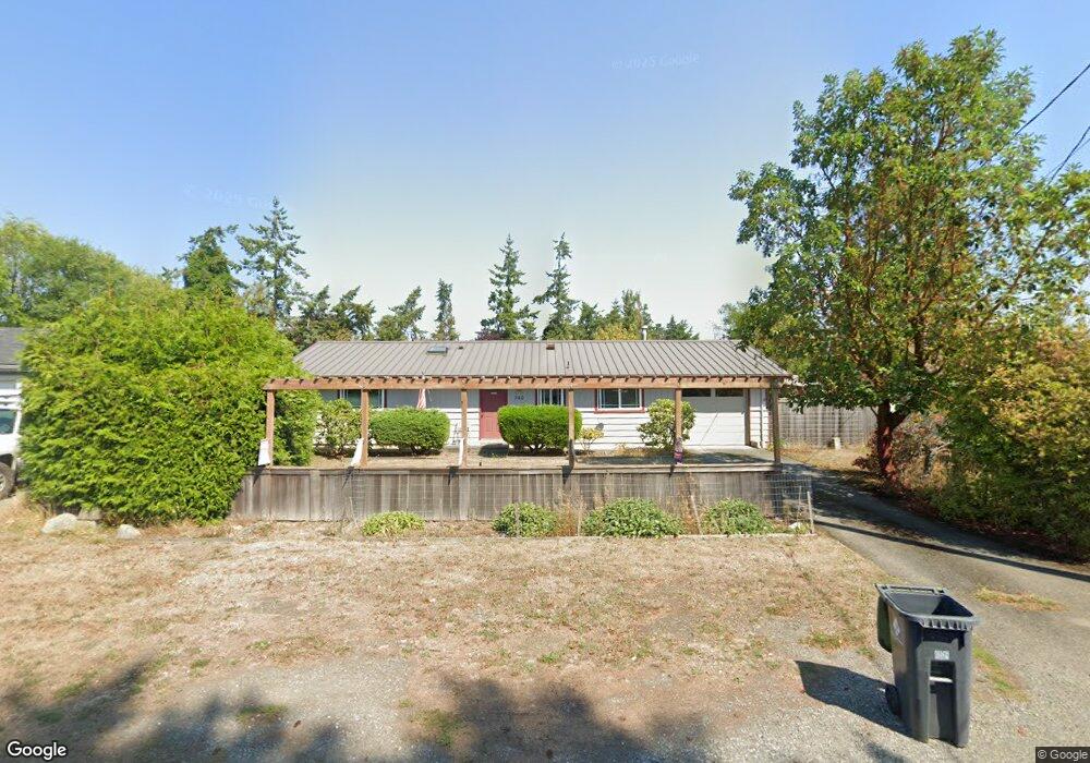
740 Memory Ln Port Townsend, WA 98368
Estimated Value: $487,000 - $613,000
3
Beds
2
Baths
1,452
Sq Ft
$372/Sq Ft
Est. Value
About This Home
This home is located at 740 Memory Ln, Port Townsend, WA 98368 and is currently estimated at $540,395, approximately $372 per square foot. 740 Memory Ln is a home located in Jefferson County with nearby schools including Salish Coast Elementary School, Blue Heron Middle School, and Port Townsend High School.
Create a Home Valuation Report for This Property
The Home Valuation Report is an in-depth analysis detailing your home's value as well as a comparison with similar homes in the area
Home Values in the Area
Average Home Value in this Area
Tax History Compared to Growth
Tax History
| Year | Tax Paid | Tax Assessment Tax Assessment Total Assessment is a certain percentage of the fair market value that is determined by local assessors to be the total taxable value of land and additions on the property. | Land | Improvement |
|---|---|---|---|---|
| 2024 | $3,216 | $383,888 | $139,020 | $244,868 |
| 2023 | $3,216 | $357,868 | $113,000 | $244,868 |
| 2022 | $2,756 | $330,868 | $86,000 | $244,868 |
| 2021 | $2,116 | $283,723 | $78,984 | $204,739 |
| 2020 | $1,993 | $209,872 | $72,402 | $137,470 |
| 2019 | $1,831 | $192,715 | $65,820 | $126,895 |
| 2018 | $1,946 | $192,440 | $65,820 | $126,620 |
| 2017 | $1,684 | $178,896 | $61,320 | $117,576 |
| 2016 | $1,575 | $165,329 | $61,320 | $104,009 |
| 2015 | $1,541 | $160,807 | $61,320 | $99,487 |
| 2014 | -- | $156,285 | $61,320 | $94,965 |
| 2013 | -- | $148,845 | $58,400 | $90,445 |
Source: Public Records
Map
Nearby Homes
- 545 Hendricks St Unit 13
- 545 Hendricks St Unit 10A
- 652 Mcpherson St
- 1011 Thomas St
- 1030 11th St
- 1 xxxx Thomas St
- 10 NKA Wilson St
- 2997 Hancock St
- 0 Lots 3&4 Grant St Unit NWM2367916
- 0 13th St Unit NWM2458063
- 999 Jackman St
- 2012 Queen Anne Place
- 480 State Route 20
- 0 Sherman St
- 15 Xx7 Rainier St
- 2289 Towne Point Ave
- 15 xx Rainier St
- 2117 Renee Place
- 2257 W Rosecrans Ct
- 1600 Dorjun Dr