740 Michaels Rd Tipp City, OH 45371
Estimated Value: $470,000 - $791,748
3
Beds
4
Baths
2,800
Sq Ft
$212/Sq Ft
Est. Value
About This Home
This home is located at 740 Michaels Rd, Tipp City, OH 45371 and is currently estimated at $594,916, approximately $212 per square foot. 740 Michaels Rd is a home located in Miami County with nearby schools including Broadway Elementary School, Nevin Coppock Elementary School, and L. T. Ball Intermediate School.
Ownership History
Date
Name
Owned For
Owner Type
Purchase Details
Closed on
Feb 12, 1993
Bought by
Horn Teresa A
Current Estimated Value
Create a Home Valuation Report for This Property
The Home Valuation Report is an in-depth analysis detailing your home's value as well as a comparison with similar homes in the area
Home Values in the Area
Average Home Value in this Area
Purchase History
| Date | Buyer | Sale Price | Title Company |
|---|---|---|---|
| Horn Teresa A | -- | -- |
Source: Public Records
Tax History Compared to Growth
Tax History
| Year | Tax Paid | Tax Assessment Tax Assessment Total Assessment is a certain percentage of the fair market value that is determined by local assessors to be the total taxable value of land and additions on the property. | Land | Improvement |
|---|---|---|---|---|
| 2024 | $7,994 | $151,580 | $21,690 | $129,890 |
| 2023 | $7,994 | $151,580 | $21,690 | $129,890 |
| 2022 | $7,328 | $151,580 | $21,690 | $129,890 |
| 2021 | $5,808 | $112,460 | $16,240 | $96,220 |
| 2020 | $5,878 | $112,460 | $16,240 | $96,220 |
| 2019 | $5,929 | $112,460 | $16,240 | $96,220 |
| 2018 | $6,441 | $113,770 | $16,500 | $97,270 |
| 2017 | $6,275 | $110,480 | $16,500 | $93,980 |
| 2016 | $6,018 | $110,480 | $16,500 | $93,980 |
| 2015 | $5,104 | $98,880 | $14,980 | $83,900 |
| 2014 | $5,104 | $98,880 | $14,980 | $83,900 |
| 2013 | $5,129 | $98,880 | $14,980 | $83,900 |
Source: Public Records
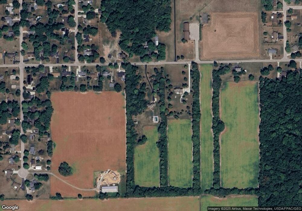
Map
Nearby Homes
- 6060 Detrick Rd
- 295 Coach Dr
- 512 Cider Mill Way
- The Prescott Plan at Fieldstone Place
- The Lynwood Plan at Emerson Crossing
- The Concord Plan at Emerson Crossing
- The Magnolia Plan at Fieldstone Place
- The Cambridge Plan at Emerson Crossing
- The Sandalwood Plan at Fieldstone Place
- The Lincoln Plan at Emerson Crossing
- The Plainfield Plan at Fieldstone Place
- The Cambridge Plan at Fieldstone Place
- The Magnolia Plan at Emerson Crossing
- The Prescott Plan at Emerson Crossing
- The Fieldstone Plan at Emerson Crossing
- The Zink Plan at Fieldstone Place
- The Concord Plan at Fieldstone Place
- The Warren Plan at Fieldstone Place
- The Fieldstone Plan at Fieldstone Place
- The Warren Plan at Emerson Crossing
- 680 Michaels Rd
- 770 Michaels Rd
- 790 Michaels Rd
- 785 Michaels Rd
- 715 Michaels Rd
- 820 Michaels Rd
- 6207 Detrick Rd
- 840 Michaels Rd
- 825 Michaels Rd
- 870 Michaels Rd
- 570 Michaels Rd
- 865 Michaels Rd
- 890 Michaels Rd
- 5925 Bradley Dr
- 885 Michaels Rd
- 910 Michaels Rd
- 6095 Detrick Rd
- 6065 Detrick Rd
- 5940 Bradley Dr
- 6115 Detrick Rd