740 N Coles Loop Post Falls, ID 83854
The Highlands NeighborhoodEstimated Value: $921,918 - $1,137,000
5
Beds
4
Baths
5,044
Sq Ft
$208/Sq Ft
Est. Value
About This Home
This home is located at 740 N Coles Loop, Post Falls, ID 83854 and is currently estimated at $1,047,480, approximately $207 per square foot. 740 N Coles Loop is a home with nearby schools including Ponderosa Elementary School, Post Falls Middle School, and Post Falls High School.
Ownership History
Date
Name
Owned For
Owner Type
Purchase Details
Closed on
May 23, 2022
Sold by
Edwin Peterson Thomas Carl
Bought by
Wilson Properties I Llc
Current Estimated Value
Purchase Details
Closed on
Dec 14, 2020
Sold by
Wilson Phillip R and Wilson Teri L
Bought by
Wilson Phillip Richard and Wilson Teri Lynn
Home Financials for this Owner
Home Financials are based on the most recent Mortgage that was taken out on this home.
Original Mortgage
$300,000
Interest Rate
2.7%
Mortgage Type
New Conventional
Purchase Details
Closed on
Sep 9, 2014
Sold by
Wilson Phillip R and Wilson Teri L
Bought by
Phillip And Teri Wilson Family Trust and Wilson Teri L
Create a Home Valuation Report for This Property
The Home Valuation Report is an in-depth analysis detailing your home's value as well as a comparison with similar homes in the area
Home Values in the Area
Average Home Value in this Area
Purchase History
| Date | Buyer | Sale Price | Title Company |
|---|---|---|---|
| Wilson Properties I Llc | -- | Alliance Title & Escrow | |
| Wilson Phillip Richard | -- | First American Ttl Kootenai | |
| Phillip And Teri Wilson Family Trust | -- | First American Title | |
| Phillip And Teri Wilson Family Trust | -- | None Available |
Source: Public Records
Mortgage History
| Date | Status | Borrower | Loan Amount |
|---|---|---|---|
| Previous Owner | Wilson Phillip Richard | $300,000 |
Source: Public Records
Tax History
| Year | Tax Paid | Tax Assessment Tax Assessment Total Assessment is a certain percentage of the fair market value that is determined by local assessors to be the total taxable value of land and additions on the property. | Land | Improvement |
|---|---|---|---|---|
| 2025 | $4,848 | $1,056,032 | $215,000 | $841,032 |
| 2024 | $4,722 | $998,452 | $154,000 | $844,452 |
| 2023 | $4,722 | $997,785 | $280,000 | $717,785 |
| 2022 | $6,445 | $1,192,785 | $399,000 | $793,785 |
| 2021 | $6,296 | $760,448 | $210,000 | $550,448 |
| 2020 | $6,245 | $658,268 | $125,000 | $533,268 |
| 2019 | $6,204 | $600,706 | $100,000 | $500,706 |
| 2018 | $6,147 | $550,922 | $95,000 | $455,922 |
| 2017 | $6,092 | $509,818 | $85,000 | $424,818 |
| 2016 | $6,512 | $510,326 | $80,000 | $430,326 |
| 2015 | $3,522 | $532,722 | $75,000 | $457,722 |
| 2013 | $3,967 | $544,030 | $62,000 | $482,030 |
Source: Public Records
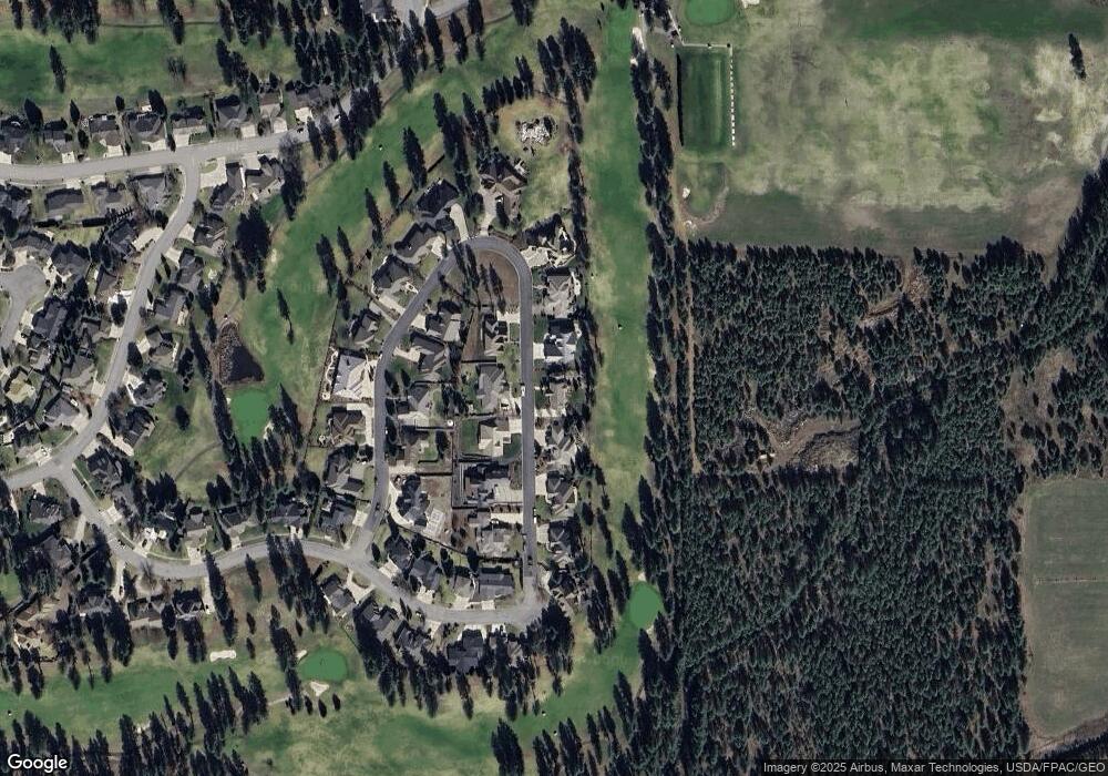
Map
Nearby Homes
- 5030 E Frazier Dr
- 706 N Dundee Dr
- 1490 N Glasgow Dr
- 5377 E Steamboat Bend
- 5439 E Steamboat Bend
- 5079 E Portside Ct
- 4570 E Savea Ln
- 102 S Riverwood Ct
- 4577 E Davin Dr
- 4497 E Savea Ln
- 4519 E Savea Ln
- 4502 E Savea Ln
- 4422 E Savea Ln
- 398 N Seeley St
- 4451 E Davin Dr
- 5177 E Shore Cove
- 4470 E 16th Ave Unit 29
- 4470 E 16th Ave Unit 20
- 768 N Neufeld Ln
- 5999 E Roger Dr
- 750 Coles
- 750 N Coles Loop
- 730 N Coles Loop
- 745 N Coles Loop
- 755 N Coles Loop
- 735 N Coles Loop
- 760 N Coles Loop
- 720 N Coles Loop
- 725 N Coles Loop
- 845 N Coles Loop
- 835 N Coles Loop
- 855 N Coles Loop
- 765 Coles
- 780 N Coles Loop
- 865 N Coles Loop
- 710 N Coles Loop
- 715 N Coles Loop
- 825 N Coles Loop
- 765 N Coles Loop
- 875 N Coles Loop
Your Personal Tour Guide
Ask me questions while you tour the home.