Estimated Value: $375,000 - $514,000
--
Bed
1
Bath
1,734
Sq Ft
$247/Sq Ft
Est. Value
About This Home
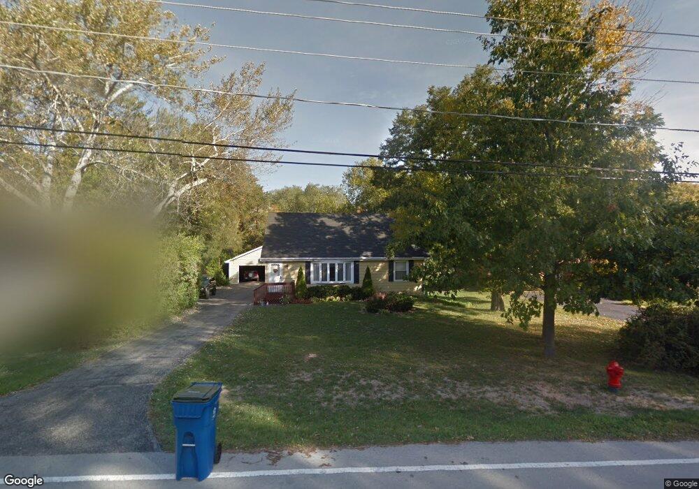
This home is located at 740 Riedy Rd, Lisle, IL 60532 and is currently estimated at $428,066, approximately $246 per square foot. 740 Riedy Rd is a home located in DuPage County with nearby schools including Lisle Elementary School, Lisle Jr High School, and Lisle High School.
Ownership History
Date
Name
Owned For
Owner Type
Purchase Details
Closed on
Jun 12, 2002
Sold by
Chicago Title Land Trust Company
Bought by
Birkett Steven and Birkett Mary Ellen
Current Estimated Value
Home Financials for this Owner
Home Financials are based on the most recent Mortgage that was taken out on this home.
Original Mortgage
$170,000
Outstanding Balance
$72,489
Interest Rate
6.93%
Mortgage Type
Purchase Money Mortgage
Estimated Equity
$355,577
Purchase Details
Closed on
Jul 11, 1996
Sold by
Espersen Kathryn G
Bought by
The Chicago Trust Company
Create a Home Valuation Report for This Property
The Home Valuation Report is an in-depth analysis detailing your home's value as well as a comparison with similar homes in the area
Home Values in the Area
Average Home Value in this Area
Purchase History
| Date | Buyer | Sale Price | Title Company |
|---|---|---|---|
| Birkett Steven | $149,500 | Stewart Title Company | |
| The Chicago Trust Company | -- | -- |
Source: Public Records
Mortgage History
| Date | Status | Borrower | Loan Amount |
|---|---|---|---|
| Open | Birkett Steven | $170,000 |
Source: Public Records
Tax History Compared to Growth
Tax History
| Year | Tax Paid | Tax Assessment Tax Assessment Total Assessment is a certain percentage of the fair market value that is determined by local assessors to be the total taxable value of land and additions on the property. | Land | Improvement |
|---|---|---|---|---|
| 2024 | $7,468 | $118,741 | $59,354 | $59,387 |
| 2023 | $7,092 | $108,370 | $54,170 | $54,200 |
| 2022 | $5,945 | $78,780 | $52,140 | $26,640 |
| 2021 | $5,783 | $75,800 | $50,170 | $25,630 |
| 2020 | $5,548 | $74,440 | $49,270 | $25,170 |
| 2019 | $5,471 | $71,220 | $47,140 | $24,080 |
| 2018 | $5,459 | $71,220 | $47,140 | $24,080 |
| 2017 | $5,417 | $68,820 | $45,550 | $23,270 |
| 2016 | $5,303 | $66,330 | $43,900 | $22,430 |
| 2015 | $5,256 | $62,460 | $41,340 | $21,120 |
| 2014 | $5,048 | $59,480 | $39,370 | $20,110 |
| 2013 | $4,950 | $59,620 | $39,460 | $20,160 |
Source: Public Records
Map
Nearby Homes
- 875 Mckenzie Station Dr
- 4721 Saint Joseph Creek Rd Unit 1B
- 4721 Saint Joseph Creek Rd Unit 4A
- 4711 Saint Joseph Creek Rd Unit 4H
- 752 Rolling Dr
- 000 Main St
- 4705 Elm St
- 5201 Riverview Dr
- 1002 Ogden Ave
- 4542 Basswood Dr
- 4703 Garfield Ave
- Lots 02,03,12,13,14, Southport Ave
- 573 Maple Ave
- Lots 010, 011 Route 53
- 5300 Walnut Ave Unit 4D
- 1510A Burlington Ave
- 5400 Walnut Ave Unit 214
- 5400 Walnut Ave Unit 712
- 403 Provence Ct
- 5540 Walnut Ave Unit 4A