Estimated Value: $343,177 - $470,000
3
Beds
2
Baths
1,327
Sq Ft
$302/Sq Ft
Est. Value
About This Home
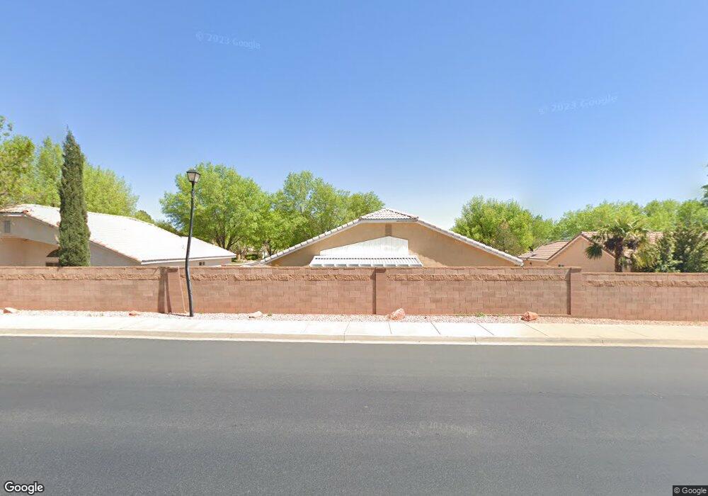
This home is located at 740 S 200 E Unit 27, Ivins, UT 84738 and is currently estimated at $400,544, approximately $301 per square foot. 740 S 200 E Unit 27 is a home located in Washington County with nearby schools including Red Mountain School, Snow Canyon Middle School, and Lava Ridge Intermediate School.
Ownership History
Date
Name
Owned For
Owner Type
Purchase Details
Closed on
Aug 9, 2013
Sold by
Buksa Frederickmichael and Buksa Mary Elizabeth
Bought by
Summers David and Summers Joann
Current Estimated Value
Home Financials for this Owner
Home Financials are based on the most recent Mortgage that was taken out on this home.
Original Mortgage
$139,410
Outstanding Balance
$103,963
Interest Rate
4.46%
Mortgage Type
New Conventional
Estimated Equity
$296,581
Purchase Details
Closed on
Apr 9, 2008
Sold by
Buksa Fred and Buksa Mary
Bought by
Buksa Frederick Michael and Buksa Mary Elizabeth
Create a Home Valuation Report for This Property
The Home Valuation Report is an in-depth analysis detailing your home's value as well as a comparison with similar homes in the area
Purchase History
| Date | Buyer | Sale Price | Title Company |
|---|---|---|---|
| Summers David | -- | Title St George Branch | |
| Buksa Frederick Michael | -- | None Available |
Source: Public Records
Mortgage History
| Date | Status | Borrower | Loan Amount |
|---|---|---|---|
| Open | Summers David | $139,410 |
Source: Public Records
Tax History
| Year | Tax Paid | Tax Assessment Tax Assessment Total Assessment is a certain percentage of the fair market value that is determined by local assessors to be the total taxable value of land and additions on the property. | Land | Improvement |
|---|---|---|---|---|
| 2025 | $2,391 | $337,100 | $85,000 | $252,100 |
| 2023 | $2,461 | $360,700 | $85,000 | $275,700 |
| 2022 | $2,549 | $351,600 | $85,000 | $266,600 |
| 2021 | $2,301 | $259,300 | $55,000 | $204,300 |
| 2020 | $2,121 | $226,300 | $55,000 | $171,300 |
| 2019 | $2,130 | $222,200 | $55,000 | $167,200 |
| 2018 | $1,960 | $191,300 | $0 | $0 |
| 2017 | $1,720 | $163,300 | $0 | $0 |
| 2016 | $1,727 | $151,500 | $0 | $0 |
| 2015 | $1,750 | $147,700 | $0 | $0 |
| 2014 | $1,688 | $143,200 | $0 | $0 |
Source: Public Records
Map
Nearby Homes
- 699 S 160 E
- 223 E 800 S
- 668 S 315 E Unit 45
- 256 E 580 S
- 76 E 725 S
- 334 E 615 S Unit 17
- 565 S 250 E
- 362 E 680 S Unit 52
- 375 E 615 S
- 915 S 170 E
- 103 E Morning Glory Ave
- 567 S Fiesta Dr
- 61 E 490 S
- 544 S Fiesta Dr
- 312 E Desert Rose Way
- 37 W Serenity Cir
- 336 E Desert Rose Way
- 557 Harmony Cir
- 422 S 175 E
- 562 S Harmony Cir
- 740 S 200 E Unit 33
- 740 S 200 E Unit 28
- 740 S 200 E Unit 21
- 740 S 200 E Unit 2
- 740 S 200 E Unit 9
- 740 S 200 E Unit 8
- 740 S 200 E Unit 7
- 740 S 200 E Unit 6
- 740 S 200 E Unit 5
- 740 S 200 E Unit 4
- 740 S 200 E Unit 35
- 740 S 200 E Unit 34
- 740 S 200 E Unit 32
- 740 S 200 E Unit 31
- 740 S 200 E Unit 30
- 740 S 200 E Unit 3
- 740 S 200 E Unit 29
- 740 S 200 E Unit 26
- 740 S 200 E Unit 25
- 740 S 200 E Unit 24
Your Personal Tour Guide
Ask me questions while you tour the home.