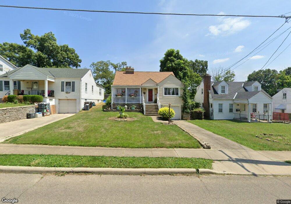
7400 Clovernook Ave Cincinnati, OH 45231
Estimated Value: $209,441 - $237,000
4
Beds
3
Baths
1,873
Sq Ft
$120/Sq Ft
Est. Value
About This Home
This home is located at 7400 Clovernook Ave, Cincinnati, OH 45231 and is currently estimated at $225,610, approximately $120 per square foot. 7400 Clovernook Ave is a home located in Hamilton County with nearby schools including Mt Healthy High School, John Paul II Catholic School, and Central Baptist Academy.
Ownership History
Date
Name
Owned For
Owner Type
Purchase Details
Closed on
Aug 31, 2000
Sold by
Norment Vincent G
Bought by
Norment Victoria A
Current Estimated Value
Purchase Details
Closed on
Jun 29, 1994
Sold by
Grant Donald H and Grant Sherrie
Bought by
Norment Vincent G and Norment Victoria A
Home Financials for this Owner
Home Financials are based on the most recent Mortgage that was taken out on this home.
Original Mortgage
$67,450
Interest Rate
8.66%
Create a Home Valuation Report for This Property
The Home Valuation Report is an in-depth analysis detailing your home's value as well as a comparison with similar homes in the area
Home Values in the Area
Average Home Value in this Area
Purchase History
| Date | Buyer | Sale Price | Title Company |
|---|---|---|---|
| Norment Victoria A | -- | -- | |
| Norment Vincent G | -- | -- |
Source: Public Records
Mortgage History
| Date | Status | Borrower | Loan Amount |
|---|---|---|---|
| Closed | Norment Vincent G | $67,450 |
Source: Public Records
Tax History Compared to Growth
Tax History
| Year | Tax Paid | Tax Assessment Tax Assessment Total Assessment is a certain percentage of the fair market value that is determined by local assessors to be the total taxable value of land and additions on the property. | Land | Improvement |
|---|---|---|---|---|
| 2024 | $2,641 | $50,656 | $7,203 | $43,453 |
| 2023 | $2,663 | $50,656 | $7,203 | $43,453 |
| 2022 | $2,369 | $32,253 | $5,814 | $26,439 |
| 2021 | $2,311 | $32,253 | $5,814 | $26,439 |
| 2020 | $2,373 | $32,253 | $5,814 | $26,439 |
| 2019 | $1,992 | $28,543 | $5,145 | $23,398 |
| 2018 | $2,005 | $28,543 | $5,145 | $23,398 |
| 2017 | $1,891 | $28,543 | $5,145 | $23,398 |
| 2016 | $2,049 | $30,548 | $6,482 | $24,066 |
| 2015 | $2,063 | $30,548 | $6,482 | $24,066 |
| 2014 | $2,051 | $30,548 | $6,482 | $24,066 |
| 2013 | $2,416 | $36,369 | $7,718 | $28,651 |
Source: Public Records
Map
Nearby Homes
- 8840 Grenada Dr
- 1458 Van Fleet Ave
- 8681 Desoto Dr
- 8831 Daly Rd
- 8772 Balboa Dr
- 8950 Daly Rd
- 7420 Elizabeth St
- 7508 Elizabeth St
- 1500 Madison Ave
- 1190 Sugartree Ct
- 8925 Monsanto Dr
- 1125 Murkett Ct
- 1514 Compton Rd
- 1478 Foxwood Dr
- 7400 Hickman St
- 8579 Daly Rd
- 7438 Hickman St
- 1545 Mcmakin Ave
- 1116 Madeleine Cir
- 7404 Perry St
- 7406 Clovernook Ave
- 7368 Clovernook Ave
- 7408 Clovernook Ave
- 7364 Clovernook Ave
- 7410 Clovernook Ave
- 7360 Clovernook Ave
- 8877 Desoto Dr
- 8871 Desoto Dr
- 8885 Desoto Dr
- 8865 Desoto Dr
- 7412 Clovernook Ave
- 7356 Clovernook Ave
- 8891 Desoto Dr
- 8857 Desoto Dr
- 7371 Clovernook Ave
- 8897 Desoto Dr
- 7416 Clovernook Ave
- 7352 Clovernook Ave
- 7403 Clovernook Ave
- 7367 Clovernook Ave