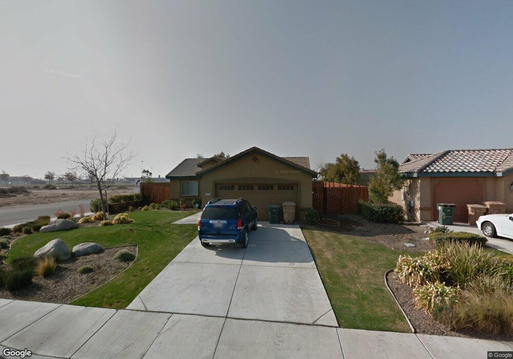
7405 Carson River Rd Bakersfield, CA 93311
Old River NeighborhoodEstimated Value: $363,501 - $418,000
3
Beds
2
Baths
1,352
Sq Ft
$288/Sq Ft
Est. Value
About This Home
This home is located at 7405 Carson River Rd, Bakersfield, CA 93311 and is currently estimated at $389,625, approximately $288 per square foot. 7405 Carson River Rd is a home located in Kern County with nearby schools including Lakeside School, General Shafter Elementary School, and Independence High School.
Ownership History
Date
Name
Owned For
Owner Type
Purchase Details
Closed on
Sep 24, 2010
Sold by
Old River Road Llc
Bought by
Bowser Neal and Bowser Emogene
Current Estimated Value
Home Financials for this Owner
Home Financials are based on the most recent Mortgage that was taken out on this home.
Original Mortgage
$115,000
Outstanding Balance
$75,435
Interest Rate
4.31%
Mortgage Type
New Conventional
Estimated Equity
$314,190
Create a Home Valuation Report for This Property
The Home Valuation Report is an in-depth analysis detailing your home's value as well as a comparison with similar homes in the area
Home Values in the Area
Average Home Value in this Area
Purchase History
| Date | Buyer | Sale Price | Title Company |
|---|---|---|---|
| Bowser Neal | $185,000 | Fidelity National Title Co |
Source: Public Records
Mortgage History
| Date | Status | Borrower | Loan Amount |
|---|---|---|---|
| Open | Bowser Neal | $115,000 |
Source: Public Records
Tax History
| Year | Tax Paid | Tax Assessment Tax Assessment Total Assessment is a certain percentage of the fair market value that is determined by local assessors to be the total taxable value of land and additions on the property. | Land | Improvement |
|---|---|---|---|---|
| 2025 | $3,499 | $237,007 | $76,865 | $160,142 |
| 2024 | $3,415 | $232,360 | $75,358 | $157,002 |
| 2023 | $3,415 | $227,805 | $73,881 | $153,924 |
| 2022 | $3,338 | $223,339 | $72,433 | $150,906 |
| 2021 | $3,225 | $218,961 | $71,013 | $147,948 |
| 2020 | $3,225 | $216,716 | $70,285 | $146,431 |
| 2019 | $3,088 | $216,716 | $70,285 | $146,431 |
| 2018 | $3,015 | $208,302 | $67,556 | $140,746 |
| 2017 | $2,977 | $204,219 | $66,232 | $137,987 |
| 2016 | $2,802 | $200,216 | $64,934 | $135,282 |
| 2015 | $2,772 | $197,209 | $63,959 | $133,250 |
| 2014 | $2,710 | $193,347 | $62,707 | $130,640 |
Source: Public Records
Map
Nearby Homes
- 9801 Biscayne Dr
- 9130 Almond Creek Dr
- 9912 Alondra Dr
- 7303 Whiskey Creek Dr
- 7318 Chetco River St
- 9103 Midnight Creek Way
- 7105 Cattail Creek Way
- 7215 Shooting Star Ct
- 7327 Bucking Bronco Ct
- 7811 Cuyama River St
- 7808 Martian River St
- 9713 Blountsville Dr
- 10203 Huslia River Ave
- 6807 Clear Water Creek Way
- 7311 Koyuk River St
- 8636 Caragh Lake Ave
- 7402 Cryosphere St
- 8635 Caragh Lake Ave
- 8630 Caragh Lake Ave
- 7504 Cryosphere St
- 7401 Carson River Rd
- 7413 Carson River Rd
- 7307 Carson River Rd
- 9513 Sleepy Hollow Ln
- 7303 Carson River Rd
- 9522 Citrus Creek Dr
- 9509 Sleepy Hollow Ln
- 7306 Carson River Rd
- 9518 Citrus Creek Dr
- 7302 Carson River Rd
- 9505 Sleepy Hollow Ln
- 9514 Citrus Creek Dr
- 7507 Carson River Rd
- 7321 Branson Creek Ct
- 9501 Sleepy Hollow Ln
- 9525 Citrus Creek Dr
- 9510 Citrus Creek Dr
- 7511 Carson River Rd
- 7317 Branson Creek Ct
- 9519 Citrus Creek Dr
Your Personal Tour Guide
Ask me questions while you tour the home.