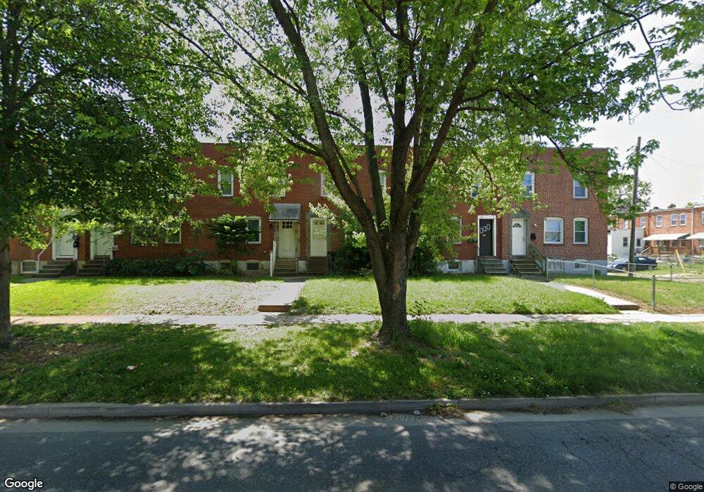
7405 Dunmanway Dundalk, MD 21222
Estimated Value: $160,895 - $194,000
--
Bed
2
Baths
1,254
Sq Ft
$142/Sq Ft
Est. Value
About This Home
This home is located at 7405 Dunmanway, Dundalk, MD 21222 and is currently estimated at $177,474, approximately $141 per square foot. 7405 Dunmanway is a home located in Baltimore County with nearby schools including Dundalk Elementary, Dundalk Middle School, and Dundalk High School.
Ownership History
Date
Name
Owned For
Owner Type
Purchase Details
Closed on
Apr 26, 2006
Sold by
Donofrio Frances A
Bought by
Hoyt Michael J
Current Estimated Value
Home Financials for this Owner
Home Financials are based on the most recent Mortgage that was taken out on this home.
Original Mortgage
$20,600
Outstanding Balance
$12,774
Interest Rate
7.87%
Mortgage Type
Stand Alone Second
Estimated Equity
$164,700
Purchase Details
Closed on
Mar 15, 2006
Sold by
Donofrio Frances A
Bought by
Hoyt Michael J
Home Financials for this Owner
Home Financials are based on the most recent Mortgage that was taken out on this home.
Original Mortgage
$20,600
Outstanding Balance
$12,774
Interest Rate
7.87%
Mortgage Type
Stand Alone Second
Estimated Equity
$164,700
Create a Home Valuation Report for This Property
The Home Valuation Report is an in-depth analysis detailing your home's value as well as a comparison with similar homes in the area
Home Values in the Area
Average Home Value in this Area
Purchase History
| Date | Buyer | Sale Price | Title Company |
|---|---|---|---|
| Hoyt Michael J | $103,000 | -- | |
| Hoyt Michael J | $103,000 | -- |
Source: Public Records
Mortgage History
| Date | Status | Borrower | Loan Amount |
|---|---|---|---|
| Open | Hoyt Michael J | $20,600 | |
| Open | Hoyt Michael J | $82,400 | |
| Closed | Hoyt Michael J | $20,600 | |
| Closed | Hoyt Michael J | $82,400 |
Source: Public Records
Tax History Compared to Growth
Tax History
| Year | Tax Paid | Tax Assessment Tax Assessment Total Assessment is a certain percentage of the fair market value that is determined by local assessors to be the total taxable value of land and additions on the property. | Land | Improvement |
|---|---|---|---|---|
| 2025 | $1,883 | $125,967 | -- | -- |
| 2024 | $1,883 | $116,033 | $0 | $0 |
| 2023 | $875 | $106,100 | $24,000 | $82,100 |
| 2022 | $1,702 | $104,700 | $0 | $0 |
| 2021 | $1,637 | $103,300 | $0 | $0 |
| 2020 | $1,637 | $101,900 | $24,000 | $77,900 |
| 2019 | $1,614 | $101,900 | $24,000 | $77,900 |
| 2018 | $1,593 | $101,900 | $24,000 | $77,900 |
| 2017 | $75 | $103,600 | $0 | $0 |
| 2016 | $1,302 | $102,667 | $0 | $0 |
| 2015 | $1,302 | $101,733 | $0 | $0 |
| 2014 | $1,302 | $100,800 | $0 | $0 |
Source: Public Records
Map
Nearby Homes
- 2953 Yorkway
- 2970 Yorkway
- 1940H Robinwood Rd
- 98 Kentway
- 3004 Dunmurry Rd
- 2604 Liberty Pkwy
- 25 Leeway
- 2743 Kirkleigh Rd
- 3135 Sollers Point Rd
- 2541 Yorkway
- 1940 Wareham Rd
- 1935 Stanhope Rd
- 30 Flagship Rd
- 7011 Dunhill Rd
- 1917 Merritt Blvd
- 41 Township Rd
- 2527 Liberty Pkwy
- 3013 Dunleer Rd
- 32 Township Rd
- 7252 Meadow Ln