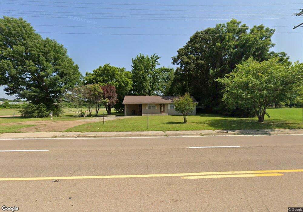
7405 Highway 64 Oakland, TN 38060
Estimated Value: $192,487 - $281,000
--
Bed
--
Bath
1,129
Sq Ft
$215/Sq Ft
Est. Value
About This Home
This home is located at 7405 Highway 64, Oakland, TN 38060 and is currently estimated at $242,622, approximately $214 per square foot. 7405 Highway 64 is a home located in Fayette County with nearby schools including Oakland Elementary School, West Junior High School, and Fayette Ware Comprehensive High School.
Ownership History
Date
Name
Owned For
Owner Type
Purchase Details
Closed on
Sep 5, 2024
Sold by
Woody And Joyce Welch Family Llc
Bought by
Asi Oakland Development Gp
Current Estimated Value
Purchase Details
Closed on
Sep 4, 2024
Sold by
Woody And Joyce Welch Family Llc
Bought by
Asi Oakland Development Gp
Purchase Details
Closed on
Dec 30, 2015
Sold by
Eisinger Bettye I
Bought by
Woody And Joyce Welch Family Llc
Purchase Details
Closed on
Jan 1, 1985
Bought by
Eisinger Bettye I
Purchase Details
Closed on
Aug 7, 1972
Purchase Details
Closed on
Jan 1, 1972
Create a Home Valuation Report for This Property
The Home Valuation Report is an in-depth analysis detailing your home's value as well as a comparison with similar homes in the area
Home Values in the Area
Average Home Value in this Area
Purchase History
| Date | Buyer | Sale Price | Title Company |
|---|---|---|---|
| Asi Oakland Development Gp | $2,060,000 | Tri State Title | |
| Asi Oakland Development Gp | -- | Tri State Title | |
| Woody And Joyce Welch Family Llc | $180,000 | -- | |
| Eisinger Bettye I | $45,000 | -- | |
| -- | -- | -- | |
| -- | $1,000 | -- |
Source: Public Records
Tax History Compared to Growth
Tax History
| Year | Tax Paid | Tax Assessment Tax Assessment Total Assessment is a certain percentage of the fair market value that is determined by local assessors to be the total taxable value of land and additions on the property. | Land | Improvement |
|---|---|---|---|---|
| 2024 | $860 | $33,275 | $22,500 | $10,775 |
| 2023 | $860 | $33,275 | $0 | $0 |
| 2022 | $570 | $33,275 | $22,500 | $10,775 |
| 2021 | $570 | $33,275 | $22,500 | $10,775 |
| 2020 | $505 | $33,275 | $22,500 | $10,775 |
| 2019 | $680 | $33,475 | $31,250 | $2,225 |
| 2018 | $699 | $33,475 | $31,250 | $2,225 |
| 2017 | $596 | $33,475 | $31,250 | $2,225 |
| 2016 | $632 | $33,200 | $31,250 | $1,950 |
| 2015 | $632 | $33,200 | $31,250 | $1,950 |
| 2014 | $632 | $33,200 | $31,250 | $1,950 |
Source: Public Records
Map
Nearby Homes
- 270 Oak St
- 000 Hwy 64
- 0 Mcauley St Unit 10186597
- 24.17 AC Tennessee 194
- 65 Cleer Ave
- 50 High St
- 0 Mcfadden Dr Unit 10209515
- 70 Valleyview Ln
- 30 Mossy Springs Cove
- 22 Doral Loop
- 50 Umble St
- 300 Saint Andrews Dr
- 290 Saint Andrews Dr
- 60 Umble St
- 245 Mossy Springs Dr
- 205 Saint Andrews Dr
- 360 Saint Andrews Dr
- 95 Blue St
- 325 Saint Andrews Dr
- 175 Saint Andrews Dr