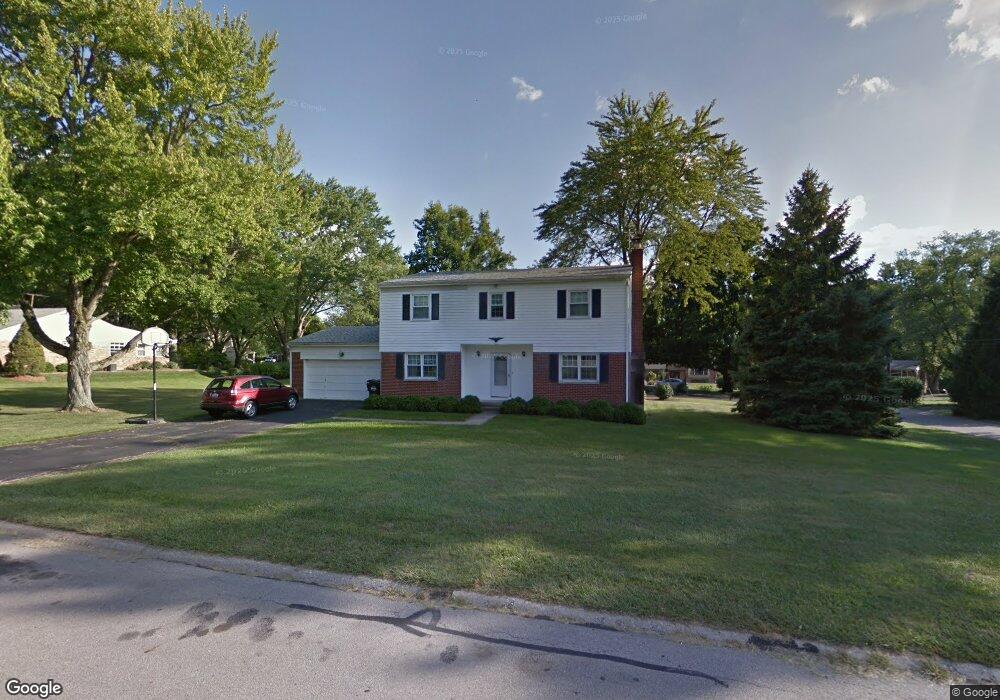
7409 Glenover Dr Cincinnati, OH 45236
Estimated Value: $523,000 - $627,000
4
Beds
3
Baths
2,312
Sq Ft
$243/Sq Ft
Est. Value
About This Home
This home is located at 7409 Glenover Dr, Cincinnati, OH 45236 and is currently estimated at $561,294, approximately $242 per square foot. 7409 Glenover Dr is a home located in Hamilton County with nearby schools including Indian Hill Primary School, Indian Hill Elementary School, and Indian Hill Middle School.
Ownership History
Date
Name
Owned For
Owner Type
Purchase Details
Closed on
Jul 13, 1998
Sold by
Leary Daniel M and Leary Catherine
Bought by
Gray William F and Gray Mary M
Current Estimated Value
Home Financials for this Owner
Home Financials are based on the most recent Mortgage that was taken out on this home.
Original Mortgage
$106,500
Outstanding Balance
$19,672
Interest Rate
7.13%
Estimated Equity
$541,622
Create a Home Valuation Report for This Property
The Home Valuation Report is an in-depth analysis detailing your home's value as well as a comparison with similar homes in the area
Home Values in the Area
Average Home Value in this Area
Purchase History
| Date | Buyer | Sale Price | Title Company |
|---|---|---|---|
| Gray William F | $167,000 | -- |
Source: Public Records
Mortgage History
| Date | Status | Borrower | Loan Amount |
|---|---|---|---|
| Open | Gray William F | $106,500 |
Source: Public Records
Tax History
| Year | Tax Paid | Tax Assessment Tax Assessment Total Assessment is a certain percentage of the fair market value that is determined by local assessors to be the total taxable value of land and additions on the property. | Land | Improvement |
|---|---|---|---|---|
| 2025 | $5,477 | $135,776 | $51,142 | $84,634 |
| 2023 | $5,363 | $135,776 | $51,142 | $84,634 |
| 2022 | $4,635 | $95,901 | $36,446 | $59,455 |
| 2021 | $4,515 | $95,901 | $36,446 | $59,455 |
| 2020 | $4,031 | $95,901 | $36,446 | $59,455 |
| 2019 | $3,794 | $84,123 | $31,969 | $52,154 |
| 2018 | $3,802 | $84,123 | $31,969 | $52,154 |
| 2017 | $3,627 | $84,123 | $31,969 | $52,154 |
| 2016 | $3,306 | $75,951 | $29,642 | $46,309 |
| 2015 | $3,320 | $75,951 | $29,642 | $46,309 |
| 2014 | $3,299 | $75,951 | $29,642 | $46,309 |
| 2013 | $3,352 | $74,463 | $29,061 | $45,402 |
Source: Public Records
Map
Nearby Homes
- 7311 Timberknoll Dr
- 8772 Haverhill Ln
- 8837 Montgomery Rd
- 9299 Fidelis Dr
- 8677 Shagbark Dr
- 8530 Sturbridge Dr
- 7775 Hartfield Place
- 5760 Kugler Mill Rd
- 6250 Cooper Rd
- 9348 Towne Square Ave
- 4736 Alpine Ave
- 6385 Kugler Mill Rd
- 4648 Belleview Ave
- 9001 Cherry St
- 9500 Todd Dr
- 4557 Elizabeth Place
- 7280 E Galbraith Rd
- 9689 Cooper Ln
- 4539 Leslie Ave
- 4537 Leslie Ave
- 8880 Paw Paw Ln
- 7431 Glenover Dr
- 8870 Paw Paw Ln
- 7400 Glenover Dr
- 7416 Glenover Dr
- 7447 Glenover Dr
- 8881 Paw
- 8891 Paw Ln
- 8891 Paw Paw Ln
- 8901 Paw Paw Ln
- 7432 Glenover Dr
- 8881 Paw Paw Ln
- 8871 Paw Paw Ln
- 8871 Paw Paw Ln
- 8814 Roundhill Rd
- 8860 Paw Paw Ln
- 8860 Paw Ln
- 8911 Paw Paw Ln
- 7459 Glenover Dr
- 8861 Paw Paw Ln
Your Personal Tour Guide
Ask me questions while you tour the home.