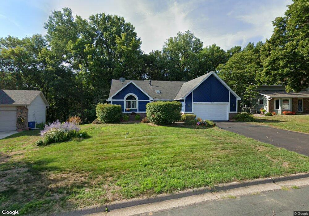
7409 W 112th St Bloomington, MN 55438
West Bloomington NeighborhoodEstimated Value: $475,000 - $571,000
3
Beds
3
Baths
1,420
Sq Ft
$377/Sq Ft
Est. Value
About This Home
This home is located at 7409 W 112th St, Bloomington, MN 55438 and is currently estimated at $534,957, approximately $376 per square foot. 7409 W 112th St is a home located in Hennepin County with nearby schools including Olson Elementary School, Olson Middle School, and Jefferson Senior High School.
Ownership History
Date
Name
Owned For
Owner Type
Purchase Details
Closed on
Nov 22, 2002
Sold by
Harris Marti S
Bought by
Ham Gregory J and Ham Lizanne R
Current Estimated Value
Purchase Details
Closed on
Jul 29, 1999
Sold by
Santini George J and Traficante Valerie
Bought by
Harris Stephen L and Harris Marti S
Purchase Details
Closed on
Feb 22, 1999
Sold by
Coffman William D and Coffman Carol C
Bought by
Santini George J and Traficante Valerie
Create a Home Valuation Report for This Property
The Home Valuation Report is an in-depth analysis detailing your home's value as well as a comparison with similar homes in the area
Home Values in the Area
Average Home Value in this Area
Purchase History
| Date | Buyer | Sale Price | Title Company |
|---|---|---|---|
| Ham Gregory J | $321,500 | -- | |
| Harris Stephen L | $226,500 | -- | |
| Santini George J | $219,000 | -- |
Source: Public Records
Tax History
| Year | Tax Paid | Tax Assessment Tax Assessment Total Assessment is a certain percentage of the fair market value that is determined by local assessors to be the total taxable value of land and additions on the property. | Land | Improvement |
|---|---|---|---|---|
| 2024 | $6,833 | $522,500 | $193,700 | $328,800 |
| 2023 | $6,487 | $532,400 | $205,900 | $326,500 |
| 2022 | $5,942 | $525,100 | $190,600 | $334,500 |
| 2021 | $5,382 | $464,000 | $181,800 | $282,200 |
| 2020 | $5,636 | $424,400 | $173,500 | $250,900 |
| 2019 | $5,290 | $432,100 | $173,500 | $258,600 |
| 2018 | $4,822 | $399,100 | $170,600 | $228,500 |
| 2017 | $4,504 | $337,600 | $151,800 | $185,800 |
| 2016 | $4,754 | $337,500 | $141,500 | $196,000 |
| 2015 | $4,622 | $317,100 | $135,100 | $182,000 |
| 2014 | -- | $304,200 | $130,900 | $173,300 |
Source: Public Records
Map
Nearby Homes
- 7334 W 114th Street Cir
- 11159 Sumter Ave S
- 7062 W 113th St Unit 1
- 7555 W 110th St
- 7041 Kenmare Dr
- 10935 Oregon Ave S
- 10905 Rhode Island Ave S
- 6958 Kenmare Dr
- 7229 Woodstock Curve Unit 6
- 7404 Landau Dr
- 7401 Landau Dr Unit 12
- 7616 Landau Dr
- 7534 Landau Dr
- 10512 Quebec Rd
- 10433 Utah Rd
- 10500 Wyoming Ave S
- 10512 Decatur Ave S
- 6100 Auto Club Rd Unit 211
- 10727 Braewood Cir
- 10434 Decatur Ave S
- 7417 W 112th St
- 7401 W 112th St
- 7524 Auto Club Cir
- 7425 W 112th St
- 7325 W 112th St
- 7410 W 112th St
- 7520 Auto Club Cir
- 7400 W 112th St
- 11175 Rhode Island Ave S
- 7528 Auto Club Cir
- 7501 W 112th St
- 7317 W 112th St
- 7320 W 112th St
- 11167 Rhode Island Ave S
- 7516 Auto Club Cir
- 7509 W 112th St
- 7330 W 114th Street Cir
- 11159 Rhode Island Ave S
- 7532 Auto Club Cir
- 7309 W 112th St
Your Personal Tour Guide
Ask me questions while you tour the home.