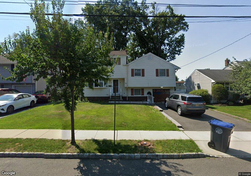
741 Cedar Crest Dr Bound Brook, NJ 08805
Estimated Value: $551,000 - $608,000
Studio
--
Bath
1,876
Sq Ft
$309/Sq Ft
Est. Value
About This Home
This home is located at 741 Cedar Crest Dr, Bound Brook, NJ 08805 and is currently estimated at $579,026, approximately $308 per square foot. 741 Cedar Crest Dr is a home located in Somerset County with nearby schools including LaMonte Annex Elementary School, Lafayette Elementary School, and Bound Brook High School.
Ownership History
Date
Name
Owned For
Owner Type
Purchase Details
Closed on
May 17, 1996
Sold by
Ryan James
Bought by
Bautista Robert and Bautista Monique
Current Estimated Value
Home Financials for this Owner
Home Financials are based on the most recent Mortgage that was taken out on this home.
Original Mortgage
$135,000
Outstanding Balance
$7,531
Interest Rate
7.77%
Estimated Equity
$571,495
Create a Home Valuation Report for This Property
The Home Valuation Report is an in-depth analysis detailing your home's value as well as a comparison with similar homes in the area
Home Values in the Area
Average Home Value in this Area
Purchase History
| Date | Buyer | Sale Price | Title Company |
|---|---|---|---|
| Bautista Robert | $142,500 | -- |
Source: Public Records
Mortgage History
| Date | Status | Borrower | Loan Amount |
|---|---|---|---|
| Open | Bautista Robert | $135,000 |
Source: Public Records
Tax History
| Year | Tax Paid | Tax Assessment Tax Assessment Total Assessment is a certain percentage of the fair market value that is determined by local assessors to be the total taxable value of land and additions on the property. | Land | Improvement |
|---|---|---|---|---|
| 2025 | $10,451 | $486,600 | $268,000 | $218,600 |
| 2024 | $10,451 | $460,600 | $248,000 | $212,600 |
Source: Public Records
Map
Nearby Homes
- 309 Stratford Place Unit 309
- 22 Glen Rd
- 428 Helfin St
- 617 Vosseller Ave
- 606 Vosseller Ave
- 514 Longwood Ave
- 561 Marion St
- 265 Metape Cir S
- 432 Talmage Ave
- 126 W High St
- 261 W Main St
- 309 Jamestown Rd
- 162 Linden Ave
- 650 Central Ave
- 306 Church St
- 17 Talmage Ave
- 328 John St
- 77 Pearl St
- 295 English Ct
- 589 Mountain Ave
- 737 Cedar Crest Dr
- 745 Cedar Crest Dr
- 733 Cedar Crest Dr
- 749 Cedar Crest Dr
- 617 Legion Ct
- 621 Legion Ct
- 701 Lawrence Rd
- 742 Cedar Crest Dr
- 729 Cedar Crest Dr
- 613 Legion Ct
- 753 Cedar Crest Dr
- 746 Cedar Crest Dr
- 625 Legion Ct
- 705 Lawrence Rd
- 750 Cedar Crest Dr
- 609 Legion Ct
- 725 Cedar Crest Dr
- 665 Crescent Dr
- 709 Lawrence Rd
- 757 Cedar Crest Dr
Your Personal Tour Guide
Ask me questions while you tour the home.