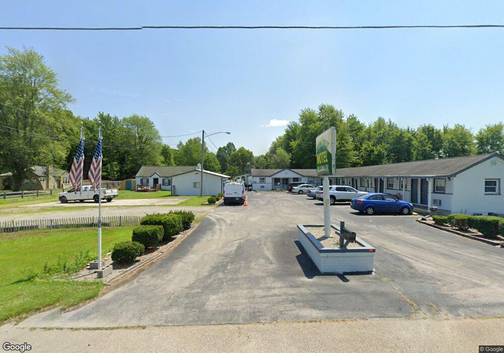
741 S High St Mount Orab, OH 45154
Estimated Value: $139,283 - $643,000
Studio
1
Bath
936
Sq Ft
$441/Sq Ft
Est. Value
About This Home
This home is located at 741 S High St, Mount Orab, OH 45154 and is currently estimated at $413,094, approximately $441 per square foot. 741 S High St is a home with nearby schools including Western Brown High School.
Ownership History
Date
Name
Owned For
Owner Type
Purchase Details
Closed on
Mar 12, 2020
Sold by
Green Crest Corporation
Bought by
Sai Ram Llc
Current Estimated Value
Home Financials for this Owner
Home Financials are based on the most recent Mortgage that was taken out on this home.
Original Mortgage
$210,000
Outstanding Balance
$177,749
Interest Rate
3.4%
Mortgage Type
Commercial
Estimated Equity
$235,345
Purchase Details
Closed on
Feb 21, 2013
Sold by
Green Crest Corp
Bought by
Sai Ram Llc
Purchase Details
Closed on
Jun 10, 2004
Sold by
Bhakta Natu G and Bhakta Shobhana N
Bought by
Bhakta Pinakin and Bhakta Anjuben B
Home Financials for this Owner
Home Financials are based on the most recent Mortgage that was taken out on this home.
Original Mortgage
$168,000
Interest Rate
6.17%
Mortgage Type
Unknown
Create a Home Valuation Report for This Property
The Home Valuation Report is an in-depth analysis detailing your home's value as well as a comparison with similar homes in the area
Home Values in the Area
Average Home Value in this Area
Purchase History
| Date | Buyer | Sale Price | Title Company |
|---|---|---|---|
| Sai Ram Llc | $270,000 | None Available | |
| Sai Ram Llc | $260,000 | None Available | |
| Creen Crest Corp | -- | None Available | |
| Bhakta Pinakin | $260,000 | -- |
Source: Public Records
Mortgage History
| Date | Status | Borrower | Loan Amount |
|---|---|---|---|
| Open | Sai Ram Llc | $210,000 | |
| Previous Owner | Bhakta Pinakin | $168,000 |
Source: Public Records
Tax History
| Year | Tax Paid | Tax Assessment Tax Assessment Total Assessment is a certain percentage of the fair market value that is determined by local assessors to be the total taxable value of land and additions on the property. | Land | Improvement |
|---|---|---|---|---|
| 2024 | $865 | $27,460 | $8,650 | $18,810 |
| 2023 | $865 | $24,800 | $8,230 | $16,570 |
| 2022 | $843 | $24,800 | $8,230 | $16,570 |
| 2021 | $809 | $24,800 | $8,230 | $16,570 |
| 2020 | $710 | $20,660 | $6,850 | $13,810 |
| 2019 | $758 | $20,660 | $6,850 | $13,810 |
| 2018 | $749 | $20,660 | $6,850 | $13,810 |
| 2017 | $680 | $18,280 | $6,850 | $11,430 |
| 2016 | $680 | $18,280 | $6,850 | $11,430 |
| 2015 | $652 | $18,280 | $6,850 | $11,430 |
| 2014 | $643 | $17,660 | $6,230 | $11,430 |
| 2013 | $666 | $18,330 | $6,900 | $11,430 |
Source: Public Records
Map
Nearby Homes
- 781 S High St
- 419 Liming Farm Rd
- 3738 Lake Grant Access Rd
- 311 Smith Ave
- 414 Castle Ave
- 13523 Lake Grant Rd
- 13080 Ohio 774
- 402 E Main St
- 329 E Main St
- 506 E Main St
- 108 Lonny St
- 106 Lonny St
- 102 Lonny St
- 14059 Boyd Rd
- 110 Nathans Ln
- 106 Nathans Ln
- 203 Bingaman Ln
- 105 Maple Ridge Ave
- 206 Bingaman Ln
- 102 Tom's Turnaround
- 729 S High St
- 740 S High St
- 733 S High St
- 726 S High St
- 730 S High St
- 746 S High St
- 753 S High St
- 721 S High St
- 13706 Us Highway 68
- 13581 Us Highway 68
- 102 Tammera Ln
- 104 Tammera Ln
- 106 Tammera Ln
- 108 Tammera Ln
- 115 Tammera Ln
- 319 Oak Ridge Dr
- 110 Tammera Ln
- 311 Oak Ridge Dr
- 317 Oak Ridge Dr
- 313 Oak Ridge Dr
Your Personal Tour Guide
Ask me questions while you tour the home.