7410 Kent Point Rd Stevensville, MD 21666
Estimated Value: $4,118,000 - $4,250,000
--
Bed
4
Baths
4,989
Sq Ft
$839/Sq Ft
Est. Value
About This Home
This home is located at 7410 Kent Point Rd, Stevensville, MD 21666 and is currently estimated at $4,186,399, approximately $839 per square foot. 7410 Kent Point Rd is a home located in Queen Anne's County with nearby schools including Matapeake Elementary School, Matapeake Middle School, and Kent Island High School.
Ownership History
Date
Name
Owned For
Owner Type
Purchase Details
Closed on
Apr 1, 2011
Sold by
Lee Sang Young
Bought by
Hiller Edward J
Current Estimated Value
Home Financials for this Owner
Home Financials are based on the most recent Mortgage that was taken out on this home.
Original Mortgage
$1,755,000
Outstanding Balance
$1,215,874
Interest Rate
4.89%
Mortgage Type
Purchase Money Mortgage
Estimated Equity
$2,970,525
Purchase Details
Closed on
Mar 30, 2011
Sold by
Lee Sang Young
Bought by
Hiller Edward J
Home Financials for this Owner
Home Financials are based on the most recent Mortgage that was taken out on this home.
Original Mortgage
$1,755,000
Outstanding Balance
$1,215,874
Interest Rate
4.89%
Mortgage Type
Purchase Money Mortgage
Estimated Equity
$2,970,525
Purchase Details
Closed on
Jan 18, 2000
Sold by
Bloody Point Shores Partnership
Bought by
Lee Sang Young
Create a Home Valuation Report for This Property
The Home Valuation Report is an in-depth analysis detailing your home's value as well as a comparison with similar homes in the area
Home Values in the Area
Average Home Value in this Area
Purchase History
| Date | Buyer | Sale Price | Title Company |
|---|---|---|---|
| Hiller Edward J | $2,340,000 | -- | |
| Hiller Edward J | $2,340,000 | -- | |
| Lee Sang Young | $556,000 | -- |
Source: Public Records
Mortgage History
| Date | Status | Borrower | Loan Amount |
|---|---|---|---|
| Open | Hiller Edward J | $1,755,000 | |
| Closed | Hiller Edward J | $1,755,000 |
Source: Public Records
Tax History Compared to Growth
Tax History
| Year | Tax Paid | Tax Assessment Tax Assessment Total Assessment is a certain percentage of the fair market value that is determined by local assessors to be the total taxable value of land and additions on the property. | Land | Improvement |
|---|---|---|---|---|
| 2025 | $18,709 | $2,343,067 | $0 | $0 |
| 2024 | $18,709 | $2,105,833 | $0 | $0 |
| 2023 | $17,662 | $1,868,600 | $662,200 | $1,206,400 |
| 2022 | $17,662 | $1,868,600 | $662,200 | $1,206,400 |
| 2021 | $20,211 | $1,868,600 | $662,200 | $1,206,400 |
| 2020 | $20,211 | $2,101,000 | $962,200 | $1,138,800 |
| 2019 | $20,211 | $2,101,000 | $962,200 | $1,138,800 |
| 2018 | $20,211 | $2,101,000 | $962,200 | $1,138,800 |
| 2017 | $22,183 | $2,306,600 | $0 | $0 |
| 2016 | -- | $2,287,800 | $0 | $0 |
| 2015 | $10,501 | $2,148,500 | $0 | $0 |
| 2014 | $10,501 | $2,129,700 | $0 | $0 |
Source: Public Records
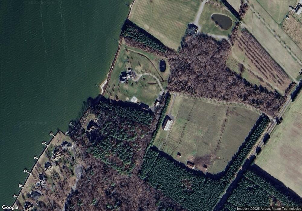
Map
Nearby Homes
- 245 Lighthouse View Dr
- 231 Lighthouse View Dr
- 216 Lighthouse View Dr
- 200 Mallard Cove Ln
- 7680 Kent Point Rd
- 312 S Lake Dr
- 100 Kent Point Rd
- 102 Chesapeake Bay Dr
- 116 Kent Point Rd
- 201 Beachside Dr
- 101 Trequassin Dr
- 109 Calvert Rd
- 101 Beachside Dr
- 208 Tower Dr
- 305 N Lake Dr
- 145 N Lake Dr
- 137 Tanners Point Dr
- 114 N Lake Dr
- 119 N Lake Dr
- 118 N Lake Dr
- 265 Lighthouse View Dr
- 259 Lighthouse View Dr
- 255 Lighthouse View Dr
- 7402 Kent Point Rd
- 249 Lighthouse View Dr
- 241 Lighthouse View Dr
- 235 Lighthouse View Dr
- 7328 Kent Point Rd
- 225 Lighthouse View Dr
- 0 Kent Point Road Kent Fort Rd Unit 1001853342
- 221 Lighthouse View Dr
- 7501 Kent Point Rd
- 7325 Kent Point Rd
- 7220 Kent Point Rd
- 215 Lighthouse View Dr
- 7210 Kent Point Rd
- 7310 Kent Point Rd
- 209 Lighthouse View Dr
- 79.14 ACRES E/S Kent Point Rd
- LOT 7 Kent Point Rd