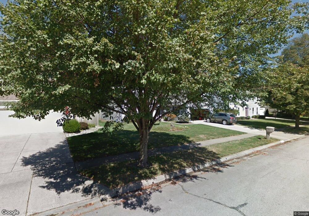
7411 Palmleaf Ln Columbus, OH 43235
Brookside Colony NeighborhoodEstimated Value: $367,666 - $453,000
3
Beds
2
Baths
1,747
Sq Ft
$237/Sq Ft
Est. Value
About This Home
This home is located at 7411 Palmleaf Ln, Columbus, OH 43235 and is currently estimated at $413,667, approximately $236 per square foot. 7411 Palmleaf Ln is a home located in Franklin County with nearby schools including Indian Run Elementary School, Ann Simpson Davis Middle School, and Dublin Scioto High School.
Ownership History
Date
Name
Owned For
Owner Type
Purchase Details
Closed on
Jun 29, 2005
Sold by
Philipp Nick
Bought by
Nick Philipp and Nick Donna
Current Estimated Value
Purchase Details
Closed on
Dec 6, 1995
Sold by
Sams James M
Bought by
Philipp Nick
Purchase Details
Closed on
Sep 29, 1987
Purchase Details
Closed on
Sep 1, 1986
Create a Home Valuation Report for This Property
The Home Valuation Report is an in-depth analysis detailing your home's value as well as a comparison with similar homes in the area
Home Values in the Area
Average Home Value in this Area
Purchase History
| Date | Buyer | Sale Price | Title Company |
|---|---|---|---|
| Nick Philipp | -- | -- | |
| Philipp Nick | $138,000 | -- | |
| -- | $125,000 | -- | |
| -- | $123,900 | -- |
Source: Public Records
Tax History
| Year | Tax Paid | Tax Assessment Tax Assessment Total Assessment is a certain percentage of the fair market value that is determined by local assessors to be the total taxable value of land and additions on the property. | Land | Improvement |
|---|---|---|---|---|
| 2025 | $5,563 | $101,780 | $35,000 | $66,780 |
| 2024 | $5,563 | $101,780 | $35,000 | $66,780 |
| 2023 | $5,522 | $101,780 | $35,000 | $66,780 |
| 2022 | $5,022 | $87,020 | $19,850 | $67,170 |
| 2021 | $5,104 | $87,020 | $19,850 | $67,170 |
| 2020 | $5,640 | $87,020 | $19,850 | $67,170 |
| 2019 | $4,644 | $72,180 | $16,560 | $55,620 |
| 2018 | $4,231 | $72,180 | $16,560 | $55,620 |
| 2017 | $4,287 | $72,180 | $16,560 | $55,620 |
| 2016 | $3,776 | $61,220 | $15,930 | $45,290 |
| 2015 | $3,799 | $61,220 | $15,930 | $45,290 |
| 2014 | $3,803 | $61,220 | $15,930 | $45,290 |
| 2013 | $1,931 | $61,215 | $15,925 | $45,290 |
Source: Public Records
Map
Nearby Homes
- 2062 Decker Ct
- 6924 Spruce Pine Dr
- 2506 Timberside Dr Unit 2506
- 2425 Sanford Dr
- 2481 Timbers Edge Ln Unit 2481
- 2487 Timbers Edge Ln Unit 2487
- 2546 Timberside Dr Unit 2546
- 2469 Sandstrom Dr
- 7641 Old Foxe Ct
- 2026 Sawbury Blvd
- 7155 Asheville Park Dr
- 2024 Sawbury Blvd
- 2001 Sawbury Blvd Unit 2001
- 2074 Hard Rd
- 7847 Meadowhaven Blvd Unit 66
- 7853 Meadowhaven Blvd Unit 63
- 7480 Gardenview Place
- 7735 Schoolway Ct
- 7755 Tripoli Ct
- 7887 Thornfield Ln Unit 50
- 7403 Palmleaf Ln
- 7417 Palmleaf Ln
- 7422 Silverleaf Ct
- 7397 Palmleaf Ln
- 7430 Silverleaf Ct
- 7414 Silverleaf Ct
- 2310 Palmleaf Ct
- 7425 Palmleaf Ln
- 7438 Silverleaf Ct
- 2319 Palmleaf Ct
- 2283 Starleaf Ln
- 7389 Palmleaf Ln
- 2302 Palmleaf Ct
- 7406 Silverleaf Ct
- 2311 Palmleaf Ct
- 2275 Starleaf Ln
- 7370 Palmleaf Ln
- 7381 Palmleaf Ln
- 7433 Silverleaf Ct
- 2294 Palmleaf Ct
Your Personal Tour Guide
Ask me questions while you tour the home.