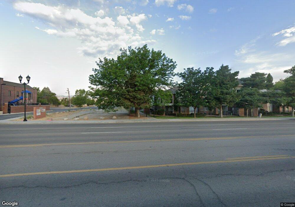
7412 S State St Midvale, UT 84047
Studio
--
Bath
1,800
Sq Ft
9,583
Sq Ft Lot
About This Home
This home is located at 7412 S State St, Midvale, UT 84047. 7412 S State St is a home located in Salt Lake County with nearby schools including East Midvale Elementary School, Midvale Middle School, and Hillcrest High School.
Ownership History
Date
Name
Owned For
Owner Type
Purchase Details
Closed on
Aug 9, 2021
Sold by
Paradigm Investments Llc
Bought by
Paradigm Investments Llc
Purchase Details
Closed on
May 19, 2017
Sold by
Jones And Jones Investment Company Llc
Bought by
Paradigm Investments Llc
Purchase Details
Closed on
Mar 31, 2011
Sold by
Jones Wayne G
Bought by
Jones & Jones Investment Company Llc
Home Financials for this Owner
Home Financials are based on the most recent Mortgage that was taken out on this home.
Original Mortgage
$825,000
Interest Rate
4.83%
Mortgage Type
Purchase Money Mortgage
Purchase Details
Closed on
Oct 25, 2010
Sold by
Jones Wayne G
Bought by
Utah Department Of Transportation
Purchase Details
Closed on
Oct 14, 1994
Sold by
Jeffries Jacqueline Ann and Draney Smith J
Bought by
Jones Brent C
Home Financials for this Owner
Home Financials are based on the most recent Mortgage that was taken out on this home.
Original Mortgage
$136,800
Interest Rate
8.7%
Create a Home Valuation Report for This Property
The Home Valuation Report is an in-depth analysis detailing your home's value as well as a comparison with similar homes in the area
Home Values in the Area
Average Home Value in this Area
Purchase History
| Date | Buyer | Sale Price | Title Company |
|---|---|---|---|
| Paradigm Investments Llc | -- | Secured Land Title | |
| Paradigm Investments Llc | -- | None Available | |
| Jones & Jones Investment Company Llc | -- | Executive Title Ins Agency | |
| Utah Department Of Transportation | -- | None Available | |
| Jones Brent C | -- | -- |
Source: Public Records
Mortgage History
| Date | Status | Borrower | Loan Amount |
|---|---|---|---|
| Previous Owner | Jones & Jones Investment Company Llc | $825,000 | |
| Previous Owner | Jones Brent C | $136,800 |
Source: Public Records
Tax History
| Year | Tax Paid | Tax Assessment Tax Assessment Total Assessment is a certain percentage of the fair market value that is determined by local assessors to be the total taxable value of land and additions on the property. | Land | Improvement |
|---|---|---|---|---|
| 2025 | $3,662 | $357,900 | $357,900 | -- |
| 2024 | $3,662 | $330,700 | $330,700 | -- |
| 2023 | $3,494 | $312,600 | $312,600 | $0 |
| 2022 | $3,118 | $272,500 | $272,500 | $0 |
| 2021 | $3,583 | $267,800 | $267,800 | $0 |
| 2020 | $3,389 | $239,700 | $239,700 | $0 |
| 2019 | $3,505 | $241,500 | $239,500 | $2,000 |
| 2016 | $2,214 | $143,800 | $140,900 | $2,900 |
Source: Public Records
Map
Nearby Homes
- 30 W 7500 S Unit 18
- 150 W 7500 S Unit 55
- 150 W 7500 S Unit 29
- 150 W 7500 S Unit 53
- 7571 S Blisswood Dr #20 Dr Unit 20
- 72 E 7320 S
- 110 Greenwood Ave
- 106 E 7320 S
- 108 W Ryker Ln Unit 16
- 222 W Center St
- 7377 S Ramanee Dr
- 197 W Center St
- 7373 S Wood Lily Ct Unit 24
- 7369 S Wood Lily Ct Unit 23
- 7365 S Wood Lily Ct Unit 22
- 7361 S Wood Lily Ct Unit 21
- 7357 S Wood Lily Ct Unit 20
- 7353 S Wood Lily Ct Unit 19
- 7331 S Seven Tree Ln Unit 84
- 7333 S Seven Tree Ln Unit 83
- 66 W Draney Ln
- 66 Draney Ln
- 76 W Draney Ln
- 76 Draney Ln
- 65 Draney Ln
- 75 Draney Ln
- 7425 S Maple St
- 7425 Maple St
- 7409 Maple St
- 7449 Maple St
- 30 W 7500 S Unit 13
- 30 W 7500 S Unit 23
- 30 W 7500 S Unit 16
- 30 W 7500 S Unit 21
- 30 W 7500 S Unit 20
- 30 W 7500 S Unit 24
- 30 W 7500 S Unit 19
- 30 W 7500 S Unit 17
- 30 W 7500 S Unit 15
- 30 W 7500 S Unit 14
Your Personal Tour Guide
Ask me questions while you tour the home.