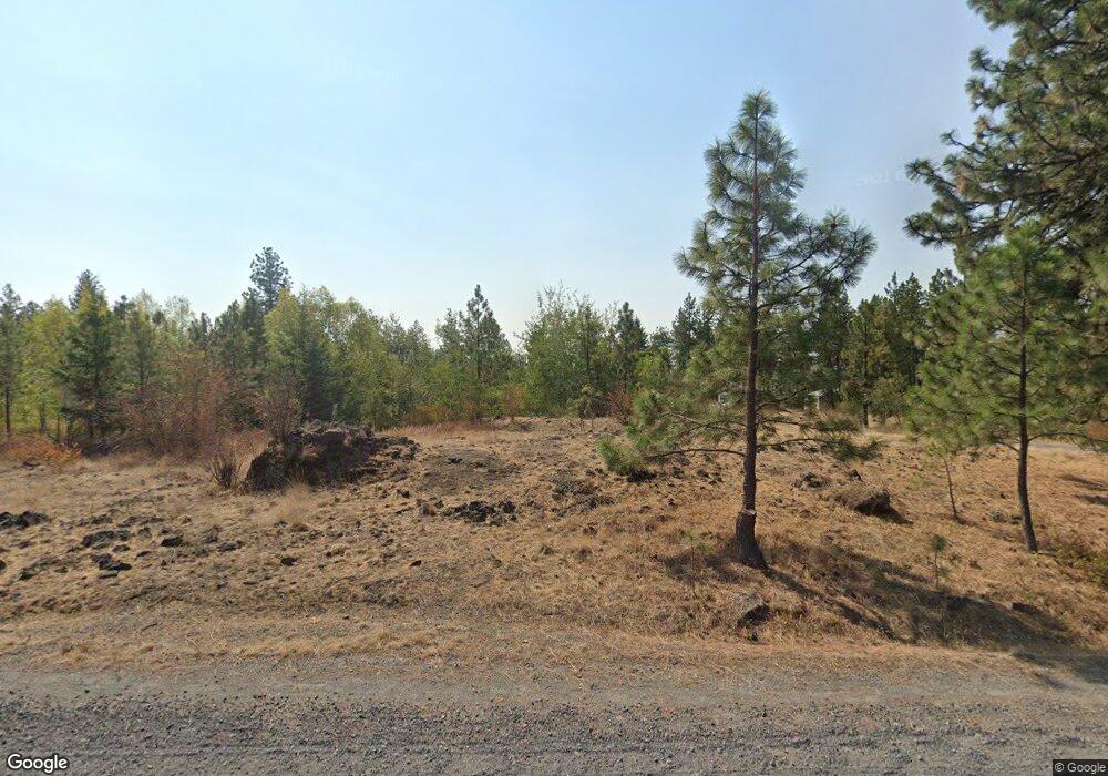
7413 W Deno Rd Spokane, WA 99224
West Spokane NeighborhoodEstimated Value: $613,013 - $720,000
4
Beds
2
Baths
1,550
Sq Ft
$427/Sq Ft
Est. Value
About This Home
This home is located at 7413 W Deno Rd, Spokane, WA 99224 and is currently estimated at $662,338, approximately $427 per square foot. 7413 W Deno Rd is a home located in Spokane County with nearby schools including Hutton Elementary School, Sacajawea Middle School, and Lewis & Clark High School.
Ownership History
Date
Name
Owned For
Owner Type
Purchase Details
Closed on
May 8, 2017
Sold by
Forsman Earl N and Forsman Janet L
Bought by
Forsman Earl N and Forsman Janet L
Current Estimated Value
Purchase Details
Closed on
Jan 7, 2003
Sold by
Forsman Earl N and Forsman Janet L
Bought by
Forsman Earl N and Forsman Janet L
Home Financials for this Owner
Home Financials are based on the most recent Mortgage that was taken out on this home.
Original Mortgage
$80,000
Interest Rate
5.96%
Mortgage Type
Purchase Money Mortgage
Purchase Details
Closed on
Apr 11, 2000
Sold by
Forsman Earl N and Forsman Janet L
Bought by
Forsman Earl N and Forsman Janet L
Create a Home Valuation Report for This Property
The Home Valuation Report is an in-depth analysis detailing your home's value as well as a comparison with similar homes in the area
Home Values in the Area
Average Home Value in this Area
Purchase History
| Date | Buyer | Sale Price | Title Company |
|---|---|---|---|
| Forsman Earl N | -- | None Available | |
| Forsman Earl N | -- | Spokane County Title Co | |
| Forsman Earl N | -- | -- |
Source: Public Records
Mortgage History
| Date | Status | Borrower | Loan Amount |
|---|---|---|---|
| Closed | Forsman Earl N | $80,000 |
Source: Public Records
Tax History Compared to Growth
Tax History
| Year | Tax Paid | Tax Assessment Tax Assessment Total Assessment is a certain percentage of the fair market value that is determined by local assessors to be the total taxable value of land and additions on the property. | Land | Improvement |
|---|---|---|---|---|
| 2025 | $4,891 | $479,330 | $198,930 | $280,400 |
| 2024 | $4,891 | $488,230 | $198,930 | $289,300 |
| 2023 | $4,186 | $479,530 | $152,930 | $326,600 |
| 2022 | $3,839 | $443,830 | $152,930 | $290,900 |
| 2021 | $3,256 | $273,190 | $69,390 | $203,800 |
| 2020 | $3,232 | $263,460 | $65,360 | $198,100 |
| 2019 | $2,828 | $237,260 | $55,360 | $181,900 |
| 2018 | $3,006 | $215,530 | $47,930 | $167,600 |
| 2017 | $2,753 | $202,330 | $47,930 | $154,400 |
| 2016 | $2,669 | $193,240 | $43,540 | $149,700 |
| 2015 | $2,638 | $187,040 | $43,540 | $143,500 |
| 2014 | -- | $188,040 | $44,540 | $143,500 |
| 2013 | -- | $0 | $0 | $0 |
Source: Public Records
Map
Nearby Homes
- 7xxx W Deno Rd
- 61XX W Deno Rd
- 7527 W Greenwood Rd
- 8200 W Mission Rd
- 8250 W Mission Rd
- Xxx W Trails Rd
- 6405 W Trails Rd
- 7525 W Trails Rd Unit **not house, just pr
- 6501 W Jedi Ln
- 8630 W Campus Dr
- 1101 S Pillar Rock Dr
- 9107 W Pirates Ct
- 1119 S Soda Rd
- 1105 S Oswald St
- 9924 W Balmer Rd
- 728 S Basalt St
- 804 S Quamash Ct
- 0 Unassigned Address St Unit SAR202523258
- 902 S Bogen Ct
- 4611 W Sunset Hwy Unit 1720 S. Assembly Roa
- 7507 W Deno Rd
- 7525 W Deno Rd
- 7201 W Deno Rd
- 428 N Kynan Rd
- 414 N Kynan Rd
- 7535 W Deno Rd
- 506 N Kynan Rd
- 506 N Kynan Rd Unit Lot 5
- 7124 W Greenwood Rd
- 7574 W Deno Rd
- Parcel B Kynan Ln
- Lot 1 Kynan Ln
- Lot 3 Kynan Ln
- Lot 2 Kynan Ln
- Parcel A Kynan Ln
- 7006 W Greenwood Rd
- 16124 W Deno Rd
- 512 N Kynan Rd
- 512 N Kynan Rd Unit Lot 4
- 6 xxx W Deno
