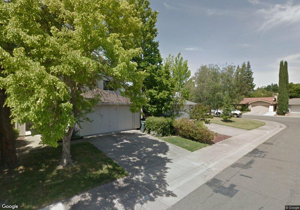
7414 Seal Rock Way Sacramento, CA 95831
Pocket-Greenhaven NeighborhoodEstimated Value: $568,731 - $600,000
3
Beds
2
Baths
1,593
Sq Ft
$368/Sq Ft
Est. Value
About This Home
This home is located at 7414 Seal Rock Way, Sacramento, CA 95831 and is currently estimated at $586,433, approximately $368 per square foot. 7414 Seal Rock Way is a home located in Sacramento County with nearby schools including Martin Luther King, Jr School, Sam Brannan Middle School, and John F. Kennedy High School.
Ownership History
Date
Name
Owned For
Owner Type
Purchase Details
Closed on
Nov 5, 2020
Sold by
Klappenbach Diane and Gundy Lynn
Bought by
Gundy Eric and Klappenbach Diane G
Current Estimated Value
Purchase Details
Closed on
Mar 2, 2001
Sold by
Muljat Anthony N and Muljat Julie A
Bought by
Klappenbach Diane and Gundy Lynn
Purchase Details
Closed on
Nov 8, 1993
Sold by
Hoey Barbara A
Bought by
Muljat Anthony N and Muljat Julie A
Home Financials for this Owner
Home Financials are based on the most recent Mortgage that was taken out on this home.
Original Mortgage
$138,700
Interest Rate
6.91%
Create a Home Valuation Report for This Property
The Home Valuation Report is an in-depth analysis detailing your home's value as well as a comparison with similar homes in the area
Home Values in the Area
Average Home Value in this Area
Purchase History
| Date | Buyer | Sale Price | Title Company |
|---|---|---|---|
| Gundy Eric | -- | None Available | |
| Klappenbach Diane | $195,000 | Stewart Title | |
| Muljat Anthony N | $146,000 | Chicago Title Company |
Source: Public Records
Mortgage History
| Date | Status | Borrower | Loan Amount |
|---|---|---|---|
| Previous Owner | Muljat Anthony N | $138,700 |
Source: Public Records
Tax History Compared to Growth
Tax History
| Year | Tax Paid | Tax Assessment Tax Assessment Total Assessment is a certain percentage of the fair market value that is determined by local assessors to be the total taxable value of land and additions on the property. | Land | Improvement |
|---|---|---|---|---|
| 2025 | $3,629 | $293,811 | $67,796 | $226,015 |
| 2024 | $3,629 | $288,051 | $66,467 | $221,584 |
| 2023 | $3,536 | $282,404 | $65,164 | $217,240 |
| 2022 | $3,490 | $276,868 | $63,887 | $212,981 |
| 2021 | $3,322 | $271,440 | $62,635 | $208,805 |
| 2020 | $3,341 | $268,657 | $61,993 | $206,664 |
| 2019 | $3,270 | $263,390 | $60,778 | $202,612 |
| 2018 | $3,185 | $258,227 | $59,587 | $198,640 |
| 2017 | $3,136 | $253,165 | $58,419 | $194,746 |
| 2016 | $3,056 | $248,202 | $57,274 | $190,928 |
| 2015 | $3,006 | $244,475 | $56,414 | $188,061 |
| 2014 | $2,935 | $239,687 | $55,309 | $184,378 |
Source: Public Records
Map
Nearby Homes
- 462 de Mar Dr
- 7262 Harbor Light Way
- 7232 Bayview Way
- 4 Marina Blue Ct
- 26 Marina Grande Ct
- 4 Bingham Cir
- 10 Fleet Ct
- 487 Twin River Way
- 6980 Riverside Blvd
- 0 Riverside Blvd
- 7716 George River Ln
- 4 Park River Oak Ct
- 763 La Contenta Way
- 9 Sandhill Ct
- 7922 Collins Isle Ln
- 506 Roundtree Ct
- 14 Westlite Ct
- 1 Sandpointe Ct
- 857 Lake Front Dr
- 14 Morningsun Ct
- 7418 Seal Rock Way
- 7422 Seal Rock Way
- 400 Little River Way
- 385 Mariner Point Way
- 389 Little River Way
- 7426 Seal Rock Way
- 376 Little River Way
- 395 Little River Way
- 401 Mariner Point Way
- 1 Angel Island Cir
- 381 Mariner Point Way
- 404 Little River Way
- 405 Mariner Point Way
- 401 Little River Way
- 5 Angel Island Cir
- 8 Angel Island Cir
- 7421 Pocket Rd
- 409 Mariner Point Way
- 377 Mariner Point Way
- 7427 Pocket Rd