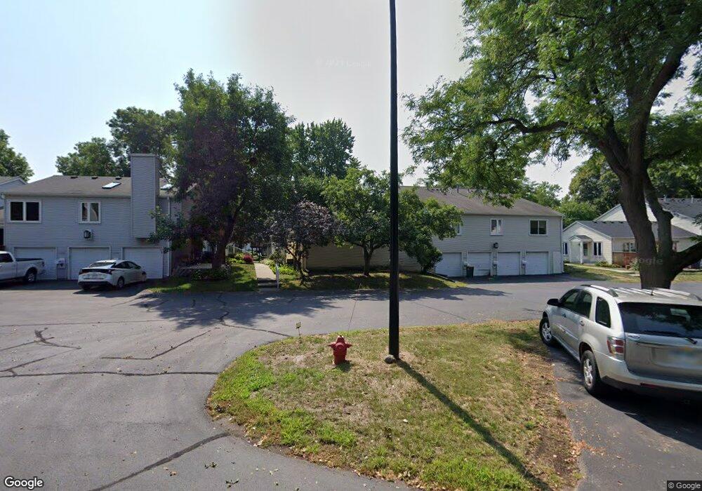
7416 7416 Landau Dr Bloomington, MN 55438
West Bloomington NeighborhoodEstimated Value: $274,000 - $300,480
4
Beds
2
Baths
1,044
Sq Ft
$275/Sq Ft
Est. Value
About This Home
This home is located at 7416 7416 Landau Dr, Bloomington, MN 55438 and is currently estimated at $287,620, approximately $275 per square foot. 7416 7416 Landau Dr is a home located in Hennepin County with nearby schools including Olson Elementary School, Olson Middle School, and Jefferson Senior High School.
Ownership History
Date
Name
Owned For
Owner Type
Purchase Details
Closed on
Nov 19, 2010
Sold by
Bri Enterprise Llc
Bought by
Wabs Joseph A and Haug Angela
Current Estimated Value
Purchase Details
Closed on
Jun 25, 2010
Sold by
Hsbc Bank Usa Na
Bought by
Bri Enterprise Llc
Purchase Details
Closed on
Apr 7, 2005
Sold by
Hoag Bradley R
Bought by
Lepisto Sara B
Purchase Details
Closed on
Jan 4, 2002
Sold by
Fransen Alice E
Bought by
Hoag Bradley R
Create a Home Valuation Report for This Property
The Home Valuation Report is an in-depth analysis detailing your home's value as well as a comparison with similar homes in the area
Home Values in the Area
Average Home Value in this Area
Purchase History
| Date | Buyer | Sale Price | Title Company |
|---|---|---|---|
| Wabs Joseph A | $165,000 | -- | |
| Bri Enterprise Llc | $95,000 | -- | |
| Lepisto Sara B | $205,000 | -- | |
| Hoag Bradley R | $154,500 | -- |
Source: Public Records
Tax History Compared to Growth
Tax History
| Year | Tax Paid | Tax Assessment Tax Assessment Total Assessment is a certain percentage of the fair market value that is determined by local assessors to be the total taxable value of land and additions on the property. | Land | Improvement |
|---|---|---|---|---|
| 2024 | $3,415 | $281,700 | $73,700 | $208,000 |
| 2023 | $3,179 | $274,800 | $73,700 | $201,100 |
| 2022 | $3,105 | $273,800 | $73,700 | $200,100 |
| 2021 | $2,881 | $254,800 | $68,500 | $186,300 |
| 2020 | $2,849 | $240,500 | $66,500 | $174,000 |
| 2019 | $2,318 | $232,300 | $65,600 | $166,700 |
| 2018 | $2,305 | $191,300 | $66,100 | $125,200 |
| 2017 | $2,019 | $167,700 | $55,700 | $112,000 |
| 2016 | $2,047 | $162,500 | $51,600 | $110,900 |
| 2015 | $1,897 | $147,800 | $49,600 | $98,200 |
| 2014 | -- | $132,000 | $48,100 | $83,900 |
Source: Public Records
Map
Nearby Homes
- 7401 Landau Dr Unit 12
- 7256 Woodstock Dr
- 7321 Woodstock Curve
- 7534 Landau Dr
- 7433 W 105th St
- 10907 Rhode Island Ave S
- 10911 Rhode Island Ave S
- 7518 W 110th St
- 10561 Maryland Rd
- 10433 Utah Rd
- 7471 W 110th St
- 7920 W 107th Street Cir
- 10707 Yukon Ave S
- 11058 Oregon Curve
- 11015 Oregon Curve
- 11048 Quebec Cir
- 11159 Sumter Ave S
- 11275 Oregon Cir
- 10170 Utah Ave S
- 11073 Oregon Cir Unit 69
- 7338 7338 Landau-Drive-
- 7418 7418 Landau-Drive-
- 7380 7380 Landau Dr
- 7346 7346 Landau-Drive-
- 7404 7404 Landau-Drive-
- 7386 7386 Landau-Drive-
- 7374 7374 Landau Dr
- 7380 Landau Dr Unit 74
- 7378 Landau Dr
- 7364 Landau Dr
- 7374 Landau Dr
- 7418 Landau Dr
- 7416 Landau Dr
- 7414 Landau Dr Unit 85
- 7368 Landau Dr
- 7366 Landau Dr
- 7368 Landau Dr
- 7418 Landau Dr
- 7366 Landau Dr Unit 67
- 7386 Landau Dr