742 Campground Rd Harding, PA 18643
Estimated Value: $248,503 - $332,000
--
Bed
--
Bath
1,512
Sq Ft
$180/Sq Ft
Est. Value
About This Home
This home is located at 742 Campground Rd, Harding, PA 18643 and is currently estimated at $272,126, approximately $179 per square foot. 742 Campground Rd is a home with nearby schools including Wyoming Area Secondary Center.
Ownership History
Date
Name
Owned For
Owner Type
Purchase Details
Closed on
Jul 31, 2023
Sold by
Jallen Deborah L and Jallen Deborah
Bought by
Gashi Henry J and Gashi Kendrick Joseph
Current Estimated Value
Home Financials for this Owner
Home Financials are based on the most recent Mortgage that was taken out on this home.
Original Mortgage
$173,000
Outstanding Balance
$168,954
Interest Rate
6.67%
Mortgage Type
New Conventional
Estimated Equity
$103,172
Purchase Details
Closed on
Aug 26, 2010
Sold by
Jallen Michael L and Jallen Deborah L
Bought by
Jallen Deborah L
Home Financials for this Owner
Home Financials are based on the most recent Mortgage that was taken out on this home.
Original Mortgage
$159,049
Interest Rate
5.25%
Mortgage Type
FHA
Create a Home Valuation Report for This Property
The Home Valuation Report is an in-depth analysis detailing your home's value as well as a comparison with similar homes in the area
Home Values in the Area
Average Home Value in this Area
Purchase History
| Date | Buyer | Sale Price | Title Company |
|---|---|---|---|
| Gashi Henry J | $205,000 | None Listed On Document | |
| Jallen Deborah L | -- | First American Title Ins Co |
Source: Public Records
Mortgage History
| Date | Status | Borrower | Loan Amount |
|---|---|---|---|
| Open | Gashi Henry J | $173,000 | |
| Previous Owner | Jallen Deborah L | $159,049 |
Source: Public Records
Tax History Compared to Growth
Tax History
| Year | Tax Paid | Tax Assessment Tax Assessment Total Assessment is a certain percentage of the fair market value that is determined by local assessors to be the total taxable value of land and additions on the property. | Land | Improvement |
|---|---|---|---|---|
| 2025 | $5,267 | $181,500 | $38,700 | $142,800 |
| 2024 | $5,034 | $181,500 | $38,700 | $142,800 |
| 2023 | $4,697 | $181,500 | $38,700 | $142,800 |
| 2022 | $4,664 | $181,500 | $38,700 | $142,800 |
| 2021 | $4,598 | $181,500 | $38,700 | $142,800 |
| 2020 | $4,490 | $181,500 | $38,700 | $142,800 |
| 2019 | $4,362 | $181,500 | $38,700 | $142,800 |
| 2018 | $4,215 | $181,500 | $38,700 | $142,800 |
| 2017 | $4,120 | $181,500 | $38,700 | $142,800 |
| 2016 | -- | $181,500 | $38,700 | $142,800 |
| 2015 | -- | $181,500 | $38,700 | $142,800 |
| 2014 | -- | $181,500 | $38,700 | $142,800 |
Source: Public Records
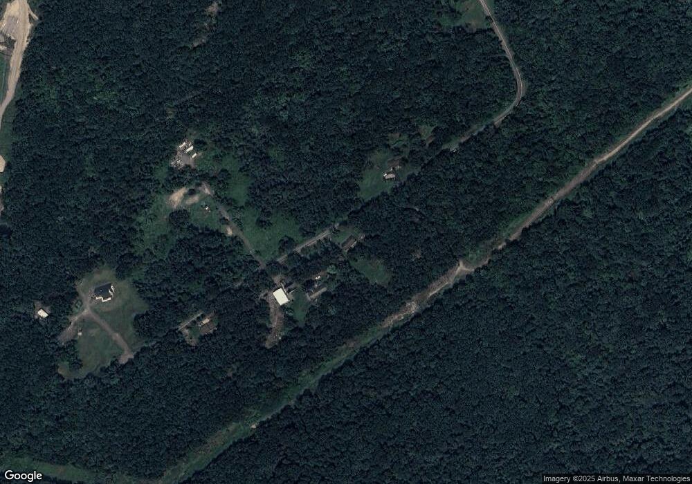
Map
Nearby Homes
- 633 Campground Rd
- 41 Gashi Rd
- 1523 W 8th St
- 5 Rowlands Ln
- 436 W 4th St
- 43 Hill St
- 20 W Brady St
- 282 Birchwood Ct
- 1946 Wyoming Ave Unit 193
- 1946 Wyoming Ave Unit 197
- 162 Birchwood Village Estates
- 253 Birchwood Ct
- 213 Cedar St
- 40-42 E 3rd St
- 134 Rear Grant St
- 2 Barber St
- 132 Penn Ave
- 535 Cherry Dr
- 750 Slocum Ave
- 121 Penn Ave
- 376 Campground Rd
- 362 Campground Rd
- 721 Campground Rd
- 373 Campground Rd
- 14 Campground Rd
- 665 Campground Rd
- 659 Campground Rd
- 397 Campground Rd
- 381 Campground Rd
- 386 Campground Rd
- 358 Campground Rd
- 390 Campground Rd
- 356 Campground Rd
- 354 Campground Rd
- 16 Gashi Rd
- 631 Campground Rd
- 640 Campground Rd
- 384 Rr 4
- 634 Campground Rd
- 385 Rr 4