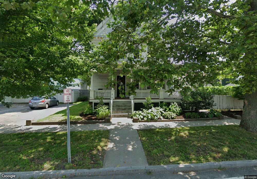
742 Main St Warren, RI 02885
Child Street West NeighborhoodEstimated Value: $656,000 - $785,000
8
Beds
3
Baths
4,473
Sq Ft
$161/Sq Ft
Est. Value
About This Home
This home is located at 742 Main St, Warren, RI 02885 and is currently estimated at $720,500, approximately $161 per square foot. 742 Main St is a home located in Bristol County with nearby schools including Mt. Hope High School, Highlander Charter Middle and High School, and East Bay Career Academy.
Ownership History
Date
Name
Owned For
Owner Type
Purchase Details
Closed on
Jul 12, 2017
Sold by
Post Ann A and Fultz Jessica A
Bought by
Fultz Jonathan and Fultz Jessica A
Current Estimated Value
Purchase Details
Closed on
May 24, 2013
Sold by
Post Ann A and Post Rebecca A
Bought by
Post Ann A and Fultz Jessica A
Create a Home Valuation Report for This Property
The Home Valuation Report is an in-depth analysis detailing your home's value as well as a comparison with similar homes in the area
Home Values in the Area
Average Home Value in this Area
Purchase History
We collect this data history from publicly available records. To have your information removed, we recommend requesting removal directly through your county’s website.
| Date | Buyer | Sale Price | Title Company |
|---|---|---|---|
| Fultz Jonathan | -- | -- | |
| Post Ann A | -- | -- |
Source: Public Records
Mortgage History
We collect this data history from publicly available records. To have your information removed, we recommend requesting removal directly through your county’s website.
| Date | Status | Borrower | Loan Amount |
|---|---|---|---|
| Previous Owner | Post Ann A | $112,000 | |
| Previous Owner | Post Ann A | $111,000 | |
| Previous Owner | Post Ann A | $113,000 |
Source: Public Records
Tax History
| Year | Tax Paid | Tax Assessment Tax Assessment Total Assessment is a certain percentage of the fair market value that is determined by local assessors to be the total taxable value of land and additions on the property. | Land | Improvement |
|---|---|---|---|---|
| 2025 | $6,736 | $452,400 | $121,100 | $331,300 |
| 2024 | $6,533 | $452,400 | $121,100 | $331,300 |
| 2023 | $6,180 | $452,400 | $121,100 | $331,300 |
| 2022 | $6,026 | $334,600 | $108,900 | $225,700 |
| 2021 | $5,929 | $334,600 | $108,900 | $225,700 |
| 2020 | $5,809 | $334,600 | $108,900 | $225,700 |
| 2019 | $5,471 | $286,300 | $84,900 | $201,400 |
| 2018 | $5,400 | $286,300 | $84,900 | $201,400 |
| 2017 | $5,385 | $286,300 | $84,900 | $201,400 |
| 2016 | $6,283 | $314,600 | $87,700 | $226,900 |
| 2015 | $6,283 | $314,600 | $87,700 | $226,900 |
| 2014 | $6,314 | $314,600 | $87,700 | $226,900 |
Source: Public Records
Map
Nearby Homes
Your Personal Tour Guide
Ask me questions while you tour the home.