742 McSorley St Red Wing, MN 55066
Estimated Value: $167,000 - $317,000
2
Beds
1
Bath
--
Sq Ft
5,227
Sq Ft Lot
About This Home
This home is located at 742 McSorley St, Red Wing, MN 55066 and is currently estimated at $219,918. 742 McSorley St is a home located in Goodhue County with nearby schools including Sunnyside Elementary School, Burnside Elementary School, and Twin Bluff Middle School.
Ownership History
Date
Name
Owned For
Owner Type
Purchase Details
Closed on
Feb 5, 2021
Sold by
Stewart Bradley and Estate Of Joyce Becker
Bought by
Eggenberger Robert
Current Estimated Value
Purchase Details
Closed on
Sep 30, 2020
Sold by
Net Venture Inc
Bought by
Eggenberger Robert
Home Financials for this Owner
Home Financials are based on the most recent Mortgage that was taken out on this home.
Original Mortgage
$75,000
Interest Rate
2.8%
Mortgage Type
Commercial
Purchase Details
Closed on
Apr 5, 2001
Sold by
Vanberg Kenneth D
Bought by
Amyx Terry
Create a Home Valuation Report for This Property
The Home Valuation Report is an in-depth analysis detailing your home's value as well as a comparison with similar homes in the area
Home Values in the Area
Average Home Value in this Area
Purchase History
| Date | Buyer | Sale Price | Title Company |
|---|---|---|---|
| Eggenberger Robert | $22,000 | None Available | |
| Eggenberger Robert | $102,000 | Heritage Title | |
| Amyx Terry | $85,900 | -- |
Source: Public Records
Mortgage History
| Date | Status | Borrower | Loan Amount |
|---|---|---|---|
| Previous Owner | Eggenberger Robert | $75,000 |
Source: Public Records
Tax History Compared to Growth
Tax History
| Year | Tax Paid | Tax Assessment Tax Assessment Total Assessment is a certain percentage of the fair market value that is determined by local assessors to be the total taxable value of land and additions on the property. | Land | Improvement |
|---|---|---|---|---|
| 2025 | $2,612 | $161,100 | $24,200 | $136,900 |
| 2024 | -- | $158,400 | $24,200 | $134,200 |
| 2023 | $2,432 | $149,000 | $24,200 | $124,800 |
| 2022 | $2,284 | $148,000 | $24,200 | $123,800 |
| 2021 | $2,106 | $126,000 | $24,200 | $101,800 |
| 2020 | $1,804 | $118,100 | $24,200 | $93,900 |
| 2019 | $1,750 | $94,500 | $24,200 | $70,300 |
| 2018 | $1,472 | $92,700 | $22,000 | $70,700 |
| 2017 | $1,434 | $81,400 | $22,000 | $59,400 |
| 2016 | $1,316 | $80,400 | $22,000 | $58,400 |
| 2015 | $1,272 | $77,300 | $22,000 | $55,300 |
| 2014 | -- | $74,200 | $22,000 | $52,200 |
Source: Public Records
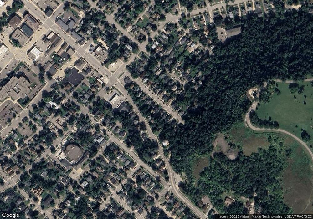
Map
Nearby Homes
- 448 9th St
- 1024 S Park St
- 1109 East Ave
- 611 East Ave
- 511 W 7th St
- 534 9th St
- XXXX Skyline Heights
- 1405 S Park St
- 1218 East Ave
- 716 Central Ave
- 1547 Bush St
- 516 Norwood St
- TBD Bush St
- 222 Bush St Unit 404
- 222 Bush St Unit 402
- 222 Bush St Unit 401
- 222 Bush St Unit 304
- 222 Bush St Unit 303
- 222 Bush St Unit 302
- 222 Bush St Unit 301
- 748 McSorley St
- 738 McSorley St
- 743 Plum St
- 752 McSorley St Unit 2
- 752 McSorley St
- 734 McSorley St
- 749 Plum St
- 755 Plum St
- 758 McSorley St
- 741 McSorley St
- 728 McSorley St
- 747 McSorley St
- 751 McSorley St
- 733 McSorley St
- 759 Plum St
- 722 McSorley St
- 725 McSorley St
- 742 Plum St
- 761 McSorley St
- 738 Plum St