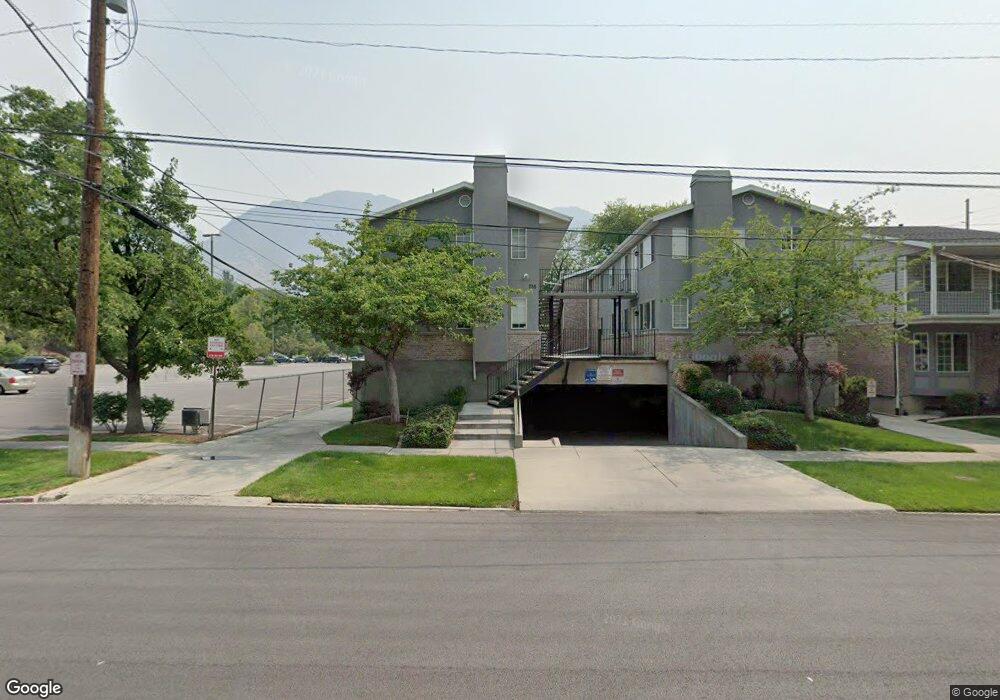
742 N 200 E Provo, UT 84606
Joaquin NeighborhoodEstimated Value: $372,000 - $457,167
4
Beds
2
Baths
1,105
Sq Ft
$387/Sq Ft
Est. Value
About This Home
This home is located at 742 N 200 E, Provo, UT 84606 and is currently estimated at $427,389, approximately $386 per square foot. 742 N 200 E is a home located in Utah County with nearby schools including Provo Peaks School, Centennial Middle School, and Timpview High School.
Ownership History
Date
Name
Owned For
Owner Type
Purchase Details
Closed on
May 13, 2025
Sold by
Hatt Joan W
Bought by
Joan W Hatt Family Trust and Hatt
Current Estimated Value
Purchase Details
Closed on
Oct 7, 2005
Sold by
Hatt Kimberly B
Bought by
Hatt Joan W
Purchase Details
Closed on
Oct 24, 1998
Sold by
Nielsen Hillary M and Hatt Hillary M
Bought by
Hatt David L and Hatt Joan W
Home Financials for this Owner
Home Financials are based on the most recent Mortgage that was taken out on this home.
Original Mortgage
$112,500
Interest Rate
6.6%
Create a Home Valuation Report for This Property
The Home Valuation Report is an in-depth analysis detailing your home's value as well as a comparison with similar homes in the area
Home Values in the Area
Average Home Value in this Area
Purchase History
| Date | Buyer | Sale Price | Title Company |
|---|---|---|---|
| Joan W Hatt Family Trust | -- | None Listed On Document | |
| Hatt Joan W | -- | -- | |
| Hatt David L | -- | -- |
Source: Public Records
Mortgage History
| Date | Status | Borrower | Loan Amount |
|---|---|---|---|
| Previous Owner | Hatt David L | $112,500 |
Source: Public Records
Tax History
| Year | Tax Paid | Tax Assessment Tax Assessment Total Assessment is a certain percentage of the fair market value that is determined by local assessors to be the total taxable value of land and additions on the property. | Land | Improvement |
|---|---|---|---|---|
| 2025 | $2,225 | $227,700 | -- | -- |
| 2024 | $2,225 | $219,010 | $0 | $0 |
| 2023 | $1,981 | $192,225 | $0 | $0 |
| 2022 | $2,266 | $221,760 | $0 | $0 |
| 2021 | $1,906 | $325,200 | $39,000 | $286,200 |
| 2020 | $1,880 | $300,700 | $36,100 | $264,600 |
| 2019 | $1,635 | $272,100 | $31,000 | $241,100 |
| 2018 | $1,493 | $251,900 | $31,000 | $220,900 |
| 2017 | $1,299 | $120,450 | $0 | $0 |
| 2016 | $1,291 | $111,540 | $0 | $0 |
| 2015 | $1,228 | $107,250 | $0 | $0 |
| 2014 | $1,101 | $100,265 | $0 | $0 |
Source: Public Records
Map
Nearby Homes
- 948 N 50 E Unit 301
- 639 N University Ave Unit 10
- 36 W 700 N Unit 206
- 466 N 200 E
- 433 N 300 E
- 620 N 100 St W
- 232 E 400 N
- 136 E 400 N Unit 108
- 136 E 400 N Unit 107
- 380 N 200 E
- 394 N 300 E
- 541 E 500 N Unit 12
- 232 E 300 N
- 386 N 500 E
- 246 N 200 E
- 364 N 500 E
- 261 N 400 E Unit 301
- 737 E 750 N Unit 1
- 735 E 620 N
- 250 N 100 W Unit 109
Your Personal Tour Guide
Ask me questions while you tour the home.