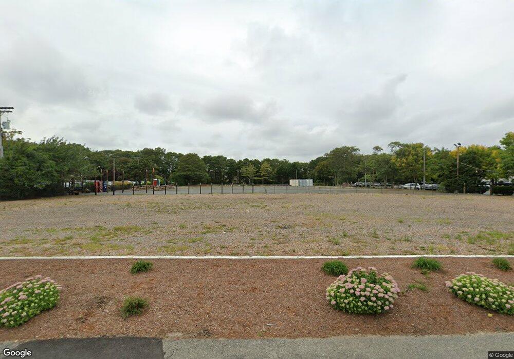
742 Route 28 South Yarmouth, MA 2664
Estimated Value: $1,847,516
--
Bed
--
Bath
7,148
Sq Ft
$258/Sq Ft
Est. Value
About This Home
This home is located at 742 Route 28, South Yarmouth, MA 2664 and is currently estimated at $1,847,516, approximately $258 per square foot. 742 Route 28 is a home located in Barnstable County with nearby schools including Dennis-Yarmouth Regional High School, Sturgis Charter Public School, and St. Pius X. School.
Ownership History
Date
Name
Owned For
Owner Type
Purchase Details
Closed on
Jun 24, 2009
Sold by
Umphlett Madlyn C and Umphlett Denis S
Bought by
Umphlett Denis S and Umphlett Madlyn C
Current Estimated Value
Purchase Details
Closed on
Nov 1, 1995
Sold by
Lake Rt and Largay Christina B
Bought by
Pirates Cove East Inc
Home Financials for this Owner
Home Financials are based on the most recent Mortgage that was taken out on this home.
Original Mortgage
$388,000
Interest Rate
7.58%
Mortgage Type
Commercial
Purchase Details
Closed on
Jun 7, 1995
Sold by
Morgan John L
Bought by
Lake Rt and Largay Christina B
Create a Home Valuation Report for This Property
The Home Valuation Report is an in-depth analysis detailing your home's value as well as a comparison with similar homes in the area
Home Values in the Area
Average Home Value in this Area
Purchase History
| Date | Buyer | Sale Price | Title Company |
|---|---|---|---|
| Umphlett Denis S | -- | -- | |
| Pirates Cove East Inc | $460,000 | -- | |
| Lake Rt | $250,000 | -- |
Source: Public Records
Mortgage History
| Date | Status | Borrower | Loan Amount |
|---|---|---|---|
| Previous Owner | Lake Rt | $388,000 |
Source: Public Records
Tax History Compared to Growth
Tax History
| Year | Tax Paid | Tax Assessment Tax Assessment Total Assessment is a certain percentage of the fair market value that is determined by local assessors to be the total taxable value of land and additions on the property. | Land | Improvement |
|---|---|---|---|---|
| 2025 | $3,444 | $486,500 | $455,100 | $31,400 |
| 2024 | $6,092 | $825,500 | $455,100 | $370,400 |
| 2023 | $6,832 | $842,400 | $455,100 | $387,300 |
| 2022 | $7,977 | $868,900 | $481,600 | $387,300 |
| 2021 | $8,307 | $868,900 | $481,600 | $387,300 |
| 2020 | $7,800 | $780,000 | $391,500 | $388,500 |
| 2019 | $7,878 | $780,000 | $391,500 | $388,500 |
| 2018 | $8,026 | $780,000 | $391,500 | $388,500 |
| 2017 | $7,816 | $780,000 | $391,500 | $388,500 |
| 2016 | $7,784 | $780,000 | $391,500 | $388,500 |
| 2015 | $7,900 | $786,900 | $400,000 | $386,900 |
Source: Public Records
Map
Nearby Homes
- 747 Route 28
- 747 Massachusetts 28
- 743 Route 28
- 728 Route 28
- 759 Route 28 Unit 18
- 759 Route 28 Unit 17
- 759 Route 28
- 759 Route 28 Unit 11
- 759 Route 28 Unit 4
- 759 Route 28 Unit 14
- 759 Route 28 Unit 24
- 759 Route 28 Unit 9
- 759 Route 28 Unit 8
- 759 Route 28 Unit 10
- 759 Route 28 Unit 12
- 759 Route 28 Unit 23
- 759 Route 28 Unit 1
- 759 Route 28 Unit 16
- 759 Route 28 Unit 15
- 759 Route 28 Unit 5