Estimated Value: $105,000 - $225,662
4
Beds
1
Bath
1,672
Sq Ft
$112/Sq Ft
Est. Value
About This Home
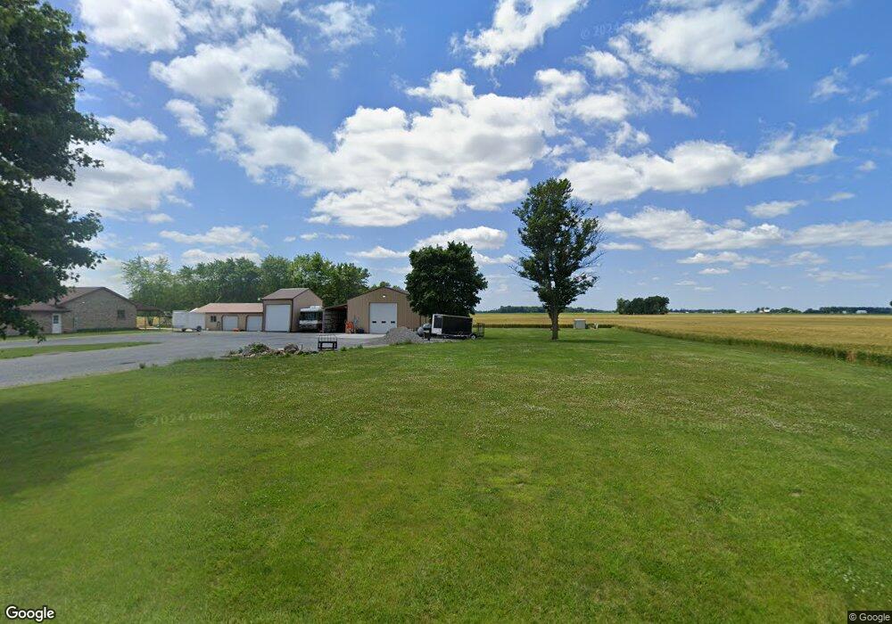
This home is located at 7421 County Road 10, Delta, OH 43515 and is currently estimated at $187,416, approximately $112 per square foot. 7421 County Road 10 is a home located in Fulton County with nearby schools including Delta Elementary School, Pike-Delta-York Middle School, and Pike-Delta-York High School.
Ownership History
Date
Name
Owned For
Owner Type
Purchase Details
Closed on
Feb 25, 2015
Sold by
Roth Ryan and Gill Holly
Bought by
Miller Bradly L
Current Estimated Value
Purchase Details
Closed on
Jul 15, 2002
Sold by
Harris Jason O
Bought by
Roth Ryan and Gill Holly
Purchase Details
Closed on
Jan 1, 1990
Bought by
Thierry Roger L and Thierry Jane
Create a Home Valuation Report for This Property
The Home Valuation Report is an in-depth analysis detailing your home's value as well as a comparison with similar homes in the area
Home Values in the Area
Average Home Value in this Area
Purchase History
| Date | Buyer | Sale Price | Title Company |
|---|---|---|---|
| Miller Bradly L | $10,236 | Attorney | |
| Roth Ryan | $113,000 | -- | |
| Thierry Roger L | -- | -- |
Source: Public Records
Mortgage History
| Date | Status | Borrower | Loan Amount |
|---|---|---|---|
| Closed | Roth Ryan | -- |
Source: Public Records
Tax History Compared to Growth
Tax History
| Year | Tax Paid | Tax Assessment Tax Assessment Total Assessment is a certain percentage of the fair market value that is determined by local assessors to be the total taxable value of land and additions on the property. | Land | Improvement |
|---|---|---|---|---|
| 2024 | $894 | $22,580 | $9,000 | $13,580 |
| 2023 | $903 | $22,580 | $9,000 | $13,580 |
| 2022 | $956 | $18,340 | $7,490 | $10,850 |
| 2021 | $996 | $17,990 | $7,490 | $10,500 |
| 2020 | $534 | $10,080 | $7,490 | $2,590 |
| 2019 | $490 | $9,420 | $7,350 | $2,070 |
| 2018 | $489 | $10,010 | $7,350 | $2,660 |
| 2017 | $520 | $10,010 | $7,350 | $2,660 |
| 2016 | $508 | $9,770 | $7,350 | $2,420 |
| 2015 | $496 | $9,770 | $7,350 | $2,420 |
| 2014 | $522 | $9,770 | $7,350 | $2,420 |
| 2013 | $916 | $17,440 | $8,090 | $9,350 |
Source: Public Records
Map
Nearby Homes
- 7620 County Road 12
- 7373 County Road 12
- 201 Elmwood Ave
- 308 Monroe St
- 207 Wood St
- 413 Fernwood St
- 421 Providence St
- 305 Mckinley St
- 518 Providence St
- 701 Palmwood St
- 703 Linwood Ave
- 908 Fernwood St
- 0 County Road H
- 810 Greenview Ave
- 8453 County Road 13
- 13242 Us Highway 20a
- 13354 U S 20a
- Integrity 1830 Plan at Arrowhead Trails
- integrity 2280 Plan at Arrowhead Trails
- Integrity 2080 Plan at Arrowhead Trails
- 7393 County Road 10
- 7653 County Road 10
- 000 County Road 10
- 7761 County Road 10
- 9967 Us Highway 20a
- 9811 County Road H
- 9851 County Road H
- 9757 County Road H
- 9820 County Road H
- 10325 County Road H
- 9601 County Road H
- 9673 County Road H
- 9710 County Road H
- 5388 Airport Hwy
- 10467 County Road H
- 9636 County Road H
- 10400 County Road H
- 8161 County Road 10
- 7562 County Road 11
- 7630 County Road 11