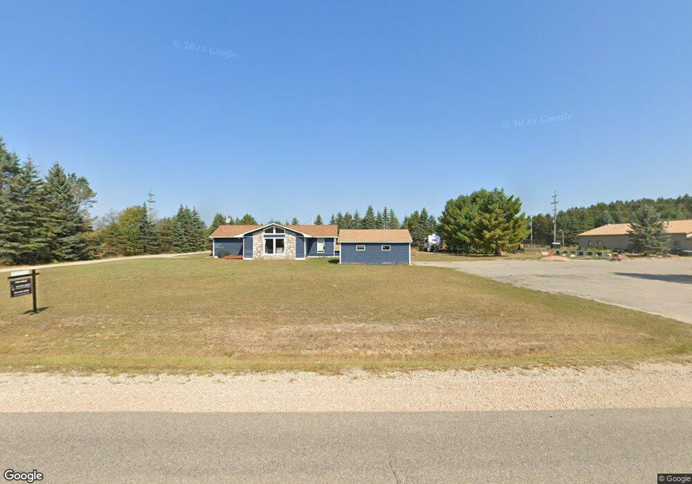
7421 Robinson Rd Pellston, MI 49769
Estimated Value: $80,217 - $243,000
--
Bed
--
Bath
840
Sq Ft
$210/Sq Ft
Est. Value
About This Home
This home is located at 7421 Robinson Rd, Pellston, MI 49769 and is currently estimated at $176,406, approximately $210 per square foot. 7421 Robinson Rd is a home located in Emmet County with nearby schools including Pellston Elementary School and Pellston Middle/High School.
Ownership History
Date
Name
Owned For
Owner Type
Purchase Details
Closed on
Mar 6, 2024
Sold by
Goodin Leslie W
Bought by
Thurman John L and Johnson Eunice Thurman
Current Estimated Value
Purchase Details
Closed on
Jan 22, 2024
Sold by
Thurman John L and Thurman Y
Bought by
Thurman John L and John L Thurman Trust
Purchase Details
Closed on
Dec 27, 2022
Sold by
Thurman John L
Bought by
Thurman John L Trust
Purchase Details
Closed on
May 3, 2004
Sold by
Thurman John
Bought by
Goodin Leslie W and Goodin Wendy K
Purchase Details
Closed on
Apr 29, 2004
Bought by
Thurman John
Purchase Details
Closed on
Dec 29, 2000
Sold by
Chatafield Stanley S and Lorena Chatafield
Bought by
Vorachek Scott A and Vorachek Catherynn
Create a Home Valuation Report for This Property
The Home Valuation Report is an in-depth analysis detailing your home's value as well as a comparison with similar homes in the area
Home Values in the Area
Average Home Value in this Area
Purchase History
| Date | Buyer | Sale Price | Title Company |
|---|---|---|---|
| Thurman John L | -- | -- | |
| Thurman John L | -- | -- | |
| Thurman John L Trust | -- | -- | |
| Goodin Leslie W | $47,500 | -- | |
| Thurman John | $35,000 | -- | |
| Vorachek Scott A | -- | -- |
Source: Public Records
Tax History Compared to Growth
Tax History
| Year | Tax Paid | Tax Assessment Tax Assessment Total Assessment is a certain percentage of the fair market value that is determined by local assessors to be the total taxable value of land and additions on the property. | Land | Improvement |
|---|---|---|---|---|
| 2025 | $866 | $30,500 | $0 | $30,500 |
| 2024 | $866 | $27,100 | $0 | $27,100 |
| 2023 | $802 | $25,600 | $0 | $25,600 |
| 2022 | $802 | $24,500 | $0 | $24,500 |
| 2021 | $819 | $24,800 | $0 | $24,800 |
| 2020 | $818 | $23,800 | $0 | $23,800 |
| 2019 | -- | $20,900 | $1,000 | $19,900 |
| 2018 | -- | $20,700 | $1,000 | $19,700 |
| 2017 | -- | $18,400 | $1,000 | $17,400 |
| 2016 | -- | $17,300 | $1,000 | $16,300 |
| 2015 | -- | $19,700 | $0 | $0 |
| 2014 | -- | $20,700 | $0 | $0 |
Source: Public Records
Map
Nearby Homes
- 6457 State St
- 000 Vacant U S 31
- 6672 Industrial Dr
- 6421 Airport Crossing Rd Unit 1
- 0 Reed Rd Unit 474270
- TBD Teal Rd
- 9470 Silver Strand Rd
- 9670 Silver Strand Rd
- 9485 Ingleside Rd
- 3016 W Burt Lake Rd
- 4333 U S 31
- 5100 N Bay Way
- 10999 Koepke Rd
- 10222 W Munro Lake Dr
- 4310 E Burt Lake Rd
- 1442 Indian Point Rd
- 6430 Admirals Point Dr
- 6167 Lambert Dr
- 7325 Keystone Park Dr Unit 18
- 7084 Center St
- 7417 Robinson Rd
- 7449 Robinson Rd
- 7457 Robinson Rd
- 7397 Robinson Rd
- 7481 Robinson Rd
- 7331 Robinson Rd
- 7331 Robinson Rd
- 7305 Robinson Rd
- 7273 Robinson Rd
- 7273 Robinson Rd
- 7227 Robinson Rd
- 260 Townline Rd
- 7127 Robinson Rd
- 168 Townline Rd
- 264 Townline Rd
- 130 Townline Rd
- 182 Townline Rd
- 386 Townline Rd
- 00 Townline Rd Unit Lot 5
- 0 Townline Rd