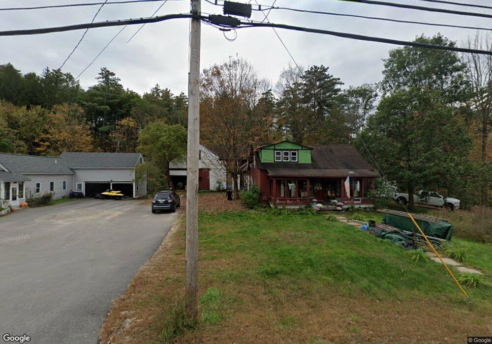
743 Main St Contoocook, NH 03229
Contoocook NeighborhoodEstimated Value: $493,000 - $544,000
3
Beds
3
Baths
2,883
Sq Ft
$181/Sq Ft
Est. Value
About This Home
This home is located at 743 Main St, Contoocook, NH 03229 and is currently estimated at $520,884, approximately $180 per square foot. 743 Main St is a home located in Merrimack County with nearby schools including Harold Martin School, Hopkinton Middle School, and The Contoocook School.
Ownership History
Date
Name
Owned For
Owner Type
Purchase Details
Closed on
Jul 5, 2001
Sold by
Henriksen Kristina
Bought by
Cayer Dana J
Current Estimated Value
Home Financials for this Owner
Home Financials are based on the most recent Mortgage that was taken out on this home.
Original Mortgage
$61,300
Outstanding Balance
$23,744
Interest Rate
7.21%
Mortgage Type
Purchase Money Mortgage
Estimated Equity
$497,140
Create a Home Valuation Report for This Property
The Home Valuation Report is an in-depth analysis detailing your home's value as well as a comparison with similar homes in the area
Home Values in the Area
Average Home Value in this Area
Purchase History
| Date | Buyer | Sale Price | Title Company |
|---|---|---|---|
| Cayer Dana J | $64,600 | -- |
Source: Public Records
Mortgage History
| Date | Status | Borrower | Loan Amount |
|---|---|---|---|
| Open | Cayer Dana J | $61,300 |
Source: Public Records
Tax History Compared to Growth
Tax History
| Year | Tax Paid | Tax Assessment Tax Assessment Total Assessment is a certain percentage of the fair market value that is determined by local assessors to be the total taxable value of land and additions on the property. | Land | Improvement |
|---|---|---|---|---|
| 2024 | $9,183 | $397,000 | $133,900 | $263,100 |
| 2023 | $9,518 | $259,200 | $65,600 | $193,600 |
| 2022 | $9,068 | $267,800 | $65,600 | $202,200 |
| 2020 | $8,251 | $267,200 | $65,600 | $201,600 |
| 2019 | $8,219 | $267,200 | $65,600 | $201,600 |
| 2018 | $7,910 | $214,700 | $44,000 | $170,700 |
| 2017 | $7,817 | $214,700 | $44,000 | $170,700 |
| 2016 | $7,203 | $214,700 | $44,000 | $170,700 |
| 2015 | $7,218 | $214,700 | $44,000 | $170,700 |
| 2014 | $6,665 | $204,700 | $44,000 | $160,700 |
| 2013 | $6,469 | $225,100 | $80,500 | $144,600 |
Source: Public Records
Map
Nearby Homes
- 108 Maple St
- 38 Woodwells Garrison Rd
- 104 River Grant Dr
- 455 Maple St
- 0 Bound Tree Rd Unit 50 5060705
- 93-1 Pine St
- 0 Pine St Unit 38 5061613
- 0 Pine St Unit 50 5060731
- 2 Granite Valley
- 656 Dolly Rd
- 356 E Penacook Rd
- 1036 Bound Tree Rd
- 89 Old Henniker Rd
- 105 Clement Hill Rd
- 102 Fieldstone Rd
- 155 Pamela Dr
- 106 Stacey Dr
- 256 Irish Hill Rd
- 541 South Rd
- 148 Broad Cove Dr
- 765 Main St Unit 767
- 13 Penacook Rd
- 501 Smithfield Rd
- 602 Smithfield Rd
- 602 Smithfield Rd Unit 1
- 23 Penacook Rd
- 601 Smithfield Rd
- 712 Main St
- 35 Penacook Rd
- 717 Main St
- 766 Main St
- 502 Smithfield Rd
- 402 Smithfield Rd
- 202 Smithfield Rd
- 302 Smithfield Rd
- 31 Cottage St
- 102 Smithfield Rd
- 782 Main St
- 696 Main St
- 697 Main St