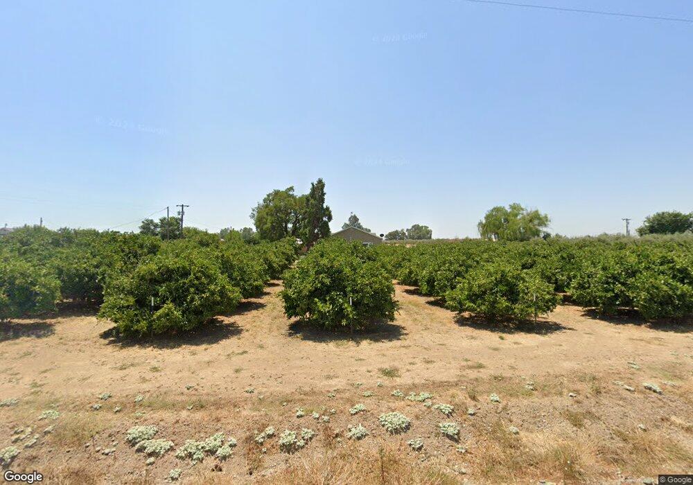
7431 Capay Ave Orland, CA 95963
Estimated Value: $226,422 - $276,000
1
Bed
1
Bath
528
Sq Ft
$477/Sq Ft
Est. Value
About This Home
This home is located at 7431 Capay Ave, Orland, CA 95963 and is currently estimated at $251,606, approximately $476 per square foot. 7431 Capay Ave is a home with nearby schools including Hamilton Elementary School and Hamilton High School.
Ownership History
Date
Name
Owned For
Owner Type
Purchase Details
Closed on
Feb 20, 2025
Sold by
Bouldin Loren D and Bouldin Ronelle R
Bought by
Loren And Ronelle Bouldin Family Trust and Bouldin
Current Estimated Value
Purchase Details
Closed on
Sep 5, 2018
Sold by
Linzy Clark D and Linzy Peggy L
Bought by
Bouldin Loren and Bouldin Ronelle R
Home Financials for this Owner
Home Financials are based on the most recent Mortgage that was taken out on this home.
Original Mortgage
$85,000
Interest Rate
4.6%
Mortgage Type
Unknown
Purchase Details
Closed on
Oct 21, 2015
Sold by
Linzy Clark D and Linzy Peggy L
Bought by
The Linzy Family Trust
Create a Home Valuation Report for This Property
The Home Valuation Report is an in-depth analysis detailing your home's value as well as a comparison with similar homes in the area
Home Values in the Area
Average Home Value in this Area
Purchase History
| Date | Buyer | Sale Price | Title Company |
|---|---|---|---|
| Loren And Ronelle Bouldin Family Trust | -- | None Listed On Document | |
| Bouldin Loren | $135,000 | Timios Title | |
| The Linzy Family Trust | -- | None Available |
Source: Public Records
Mortgage History
| Date | Status | Borrower | Loan Amount |
|---|---|---|---|
| Previous Owner | Bouldin Loren | $85,000 |
Source: Public Records
Tax History Compared to Growth
Tax History
| Year | Tax Paid | Tax Assessment Tax Assessment Total Assessment is a certain percentage of the fair market value that is determined by local assessors to be the total taxable value of land and additions on the property. | Land | Improvement |
|---|---|---|---|---|
| 2025 | $1,717 | $150,590 | $66,929 | $83,661 |
| 2024 | $1,717 | $147,638 | $65,617 | $82,021 |
| 2023 | $1,636 | $144,744 | $64,331 | $80,413 |
| 2022 | $1,583 | $141,907 | $63,070 | $78,837 |
| 2021 | $1,574 | $139,126 | $61,834 | $77,292 |
| 2020 | $1,598 | $137,700 | $61,200 | $76,500 |
| 2019 | $1,598 | $135,000 | $60,000 | $75,000 |
| 2018 | $583 | $48,730 | $45,699 | $3,031 |
| 2017 | $587 | $47,775 | $44,803 | $2,972 |
| 2016 | $569 | $46,839 | $43,925 | $2,914 |
| 2015 | $563 | $46,137 | $43,266 | $2,871 |
| 2014 | $555 | $45,234 | $42,419 | $2,815 |
Source: Public Records
Map
Nearby Homes
- 4919 County Rd S
- 0 County Road 9
- 565 5th Ave
- 24515 Moller Ave
- 4705 1st Ave
- 24895 Post Ave
- 4368 County Road Railroad
- 7012 California 32
- 4204 County Rd S
- 1882 Capay Rd
- 904 E Walker St
- 1586 Paigewood Dr
- 4059 County Rd S
- 4436 County Road M 1 2
- 1536 Oakwood Dr
- 85 Malton Ave
- 4290 California 45
- 1325 Coby Ln
- 698 Hambright Ave
- 1682 Almondwood Dr
- 7439 Capay Ave
- 7411 Capay Ave
- 7448 Lindsay Ave
- 7393 Capay Ave
- 7440 Lindsay Ave
- 7450 Lindsay Ave
- 7444 Lindsay Ave
- 7456 Lindsay Ave
- 7399 Lindsay Ave
- 4806 5th Ave
- 4824 5th Ave
- 0 County Road 53 Unit 18065592
- 0 County Road 57 Unit 18047094
- 0 County Road 57 Unit 80088016
- 0 County Road 49 Unit 12050950
- 0 County Road 53 Unit 13048873
- 0 County Rd 53 Unit 13049160
- 0 County Road 49 Unit 15000417
- 0 County Road 49 Unit 16067699
- 0 County Road 49 Unit 17015121
