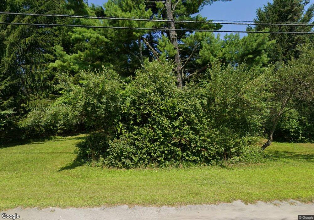
7433 State Route 55 Neversink, NY 12765
Estimated Value: $185,400 - $322,000
3
Beds
2
Baths
1,144
Sq Ft
$234/Sq Ft
Est. Value
About This Home
This home is located at 7433 State Route 55, Neversink, NY 12765 and is currently estimated at $267,350, approximately $233 per square foot. 7433 State Route 55 is a home located in Sullivan County with nearby schools including Tri-Valley Elementary School and Tri-Valley Secondary School.
Ownership History
Date
Name
Owned For
Owner Type
Purchase Details
Closed on
Jan 19, 2023
Sold by
Ellis Dale and Ellis Lou A
Bought by
Ellis Dale and Ellis Lou A
Current Estimated Value
Purchase Details
Closed on
Sep 30, 2019
Sold by
Spada Rose
Bought by
Ellis Dale and Ellis Louann
Home Financials for this Owner
Home Financials are based on the most recent Mortgage that was taken out on this home.
Original Mortgage
$146,300
Interest Rate
3.5%
Mortgage Type
New Conventional
Purchase Details
Closed on
May 6, 2013
Sold by
Wegman Kenneth
Bought by
Spada Rose
Create a Home Valuation Report for This Property
The Home Valuation Report is an in-depth analysis detailing your home's value as well as a comparison with similar homes in the area
Home Values in the Area
Average Home Value in this Area
Purchase History
| Date | Buyer | Sale Price | Title Company |
|---|---|---|---|
| Ellis Dale | -- | None Available | |
| Ellis Dale | $154,000 | -- | |
| Spada Rose | $25,000 | -- |
Source: Public Records
Mortgage History
| Date | Status | Borrower | Loan Amount |
|---|---|---|---|
| Previous Owner | Ellis Dale | $146,300 |
Source: Public Records
Tax History Compared to Growth
Tax History
| Year | Tax Paid | Tax Assessment Tax Assessment Total Assessment is a certain percentage of the fair market value that is determined by local assessors to be the total taxable value of land and additions on the property. | Land | Improvement |
|---|---|---|---|---|
| 2024 | $1,759 | $2,000 | $500 | $1,500 |
| 2023 | $1,731 | $2,000 | $500 | $1,500 |
| 2022 | $1,818 | $2,000 | $500 | $1,500 |
| 2021 | $1,891 | $2,000 | $500 | $1,500 |
| 2020 | $1,334 | $2,000 | $500 | $1,500 |
| 2019 | $856 | $2,000 | $500 | $1,500 |
| 2018 | $856 | $2,000 | $500 | $1,500 |
| 2017 | $873 | $2,000 | $500 | $1,500 |
| 2016 | $857 | $2,000 | $500 | $1,500 |
| 2015 | -- | $2,000 | $500 | $1,500 |
| 2014 | -- | $2,000 | $500 | $1,500 |
Source: Public Records
Map
Nearby Homes
- 15 Deans Way
- 497 Myers Rd
- 518 Myers Rd
- 109 Mutton Hill Rd
- 186 Schumway Rd
- 34 Overlook Rd
- 45 Overlook Rd
- 0 Benton Hollow Rd Unit KEY836200
- 1 Lake View Dr
- 382 Benton Hollow Rd
- 32 Brookside Dr
- 107 Overlook Rd
- 4 Cole Dr
- 114 Wagners Rd
- 650 Thunder Hill Rd
- 30 Soho Cir
- 113 Moore Rd
- 115 Moore Rd
- 117 Moore Rd
- 148 Moore Rd
- 7439 State Route 55
- 7429 State Route 55
- 7443 Route 55
- 7425 State Route 55
- 7498 State Route 55
- 7498 State Route 55 Unit 55
- 7411 State Route 55
- 7455 State Route 55
- 7414 State Route 55
- 7454 State Route 55
- 7459 State Route 55
- 7459 State Route 55
- 7410 State Route 55
- 7465 State Route 55
- 7466 State Route 55
- 0 Route 55 Unit 201021234
- 0 Route 55 Unit 201128323
- 7400 State Route 55
- 12 Mutton Hill Rd
- 7393 State Route 55
