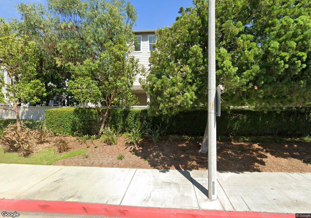
7433 Upper Bay Dr Unit 134 Huntington Beach, CA 92648
Estimated Value: $822,000 - $1,068,000
3
Beds
3
Baths
1,612
Sq Ft
$582/Sq Ft
Est. Value
About This Home
This home is located at 7433 Upper Bay Dr Unit 134, Huntington Beach, CA 92648 and is currently estimated at $938,262, approximately $582 per square foot. 7433 Upper Bay Dr Unit 134 is a home located in Orange County with nearby schools including Agnes L. Smith Elementary, Ethel Dwyer Middle, and Huntington Beach High School.
Ownership History
Date
Name
Owned For
Owner Type
Purchase Details
Closed on
Aug 24, 1999
Sold by
Wl Homes Llc
Bought by
Araki Toshimitsu and Araki Doreen
Current Estimated Value
Home Financials for this Owner
Home Financials are based on the most recent Mortgage that was taken out on this home.
Original Mortgage
$212,750
Interest Rate
7.89%
Create a Home Valuation Report for This Property
The Home Valuation Report is an in-depth analysis detailing your home's value as well as a comparison with similar homes in the area
Home Values in the Area
Average Home Value in this Area
Purchase History
| Date | Buyer | Sale Price | Title Company |
|---|---|---|---|
| Araki Toshimitsu | $266,500 | First American Title Ins Co |
Source: Public Records
Mortgage History
| Date | Status | Borrower | Loan Amount |
|---|---|---|---|
| Previous Owner | Araki Toshimitsu | $212,750 |
Source: Public Records
Tax History Compared to Growth
Tax History
| Year | Tax Paid | Tax Assessment Tax Assessment Total Assessment is a certain percentage of the fair market value that is determined by local assessors to be the total taxable value of land and additions on the property. | Land | Improvement |
|---|---|---|---|---|
| 2025 | $4,729 | $408,805 | $166,303 | $242,502 |
| 2024 | $4,729 | $400,790 | $163,042 | $237,748 |
| 2023 | $4,620 | $392,932 | $159,845 | $233,087 |
| 2022 | $4,497 | $385,228 | $156,711 | $228,517 |
| 2021 | $4,413 | $377,675 | $153,638 | $224,037 |
| 2020 | $4,383 | $373,803 | $152,063 | $221,740 |
| 2019 | $4,332 | $366,474 | $149,081 | $217,393 |
| 2018 | $4,264 | $359,289 | $146,158 | $213,131 |
| 2017 | $4,206 | $352,245 | $143,293 | $208,952 |
| 2016 | $4,023 | $345,339 | $140,484 | $204,855 |
| 2015 | $3,983 | $340,152 | $138,374 | $201,778 |
| 2014 | $3,899 | $333,489 | $135,663 | $197,826 |
Source: Public Records
Map
Nearby Homes
- 19031 Main St Unit 105
- 19041 Main St Unit 109
- 19051 Main St Unit 105
- 19051 Main St Unit 113
- 19051 Main St Unit 101
- 19071 Main St Unit 117
- 19071 Main St Unit 105
- 19071 Main St Unit 113
- 18812 Desmond Ln
- 19011 Main St Unit 129
- 19011 Main St Unit 113
- 19052 Oceanport Ln Unit 5
- 19061 Main St Unit 101
- 18871 Kithira Cir
- 18859 Milos Cir
- 7270 Crystal Dr
- 19091 Azul Ln
- 7445 Seastar Dr Unit 6
- 19132 Shoreline Ln Unit 8
- 7652 Garfield Ave Unit 49
- 7431 Upper Bay Dr Unit 133
- 7423 Upper Bay Dr
- 7437 Upper Bay Dr
- 7435 Upper Bay Dr
- 18929 Coolwater Ln
- 18933 Coolwater Ln Unit 130
- 7425 Upper Bay Dr Unit 140
- 18925 Coolwater Ln Unit 132
- 18937 Coolwater Ln Unit 129
- 7444 Prospect Dr Unit 125
- 7421 Upper Bay Dr
- 7427 Upper Bay Dr Unit 141
- 7419 Upper Bay Dr Unit 137
- 18911 Coolwater Ln
- 18924 Breezy Ln Unit 144
- 18928 Breezy Ln Unit 145
- 7440 Prospect Dr Unit 126
- 18920 Breezy Ln Unit 143
- 18930 Breezy Ln
- 18897 Coolwater Ln