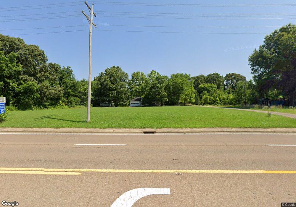
7435 Highway 64 Oakland, TN 38060
Estimated Value: $256,327 - $324,000
--
Bed
2
Baths
1,892
Sq Ft
$161/Sq Ft
Est. Value
About This Home
This home is located at 7435 Highway 64, Oakland, TN 38060 and is currently estimated at $304,582, approximately $160 per square foot. 7435 Highway 64 is a home located in Fayette County with nearby schools including Oakland Elementary School, West Junior High School, and Fayette Ware Comprehensive High School.
Ownership History
Date
Name
Owned For
Owner Type
Purchase Details
Closed on
Jul 29, 2021
Sold by
Pickett Properties Llc
Bought by
Martin Mark and Getman Gregory
Current Estimated Value
Home Financials for this Owner
Home Financials are based on the most recent Mortgage that was taken out on this home.
Original Mortgage
$377,000
Outstanding Balance
$342,964
Interest Rate
2.93%
Mortgage Type
Commercial
Estimated Equity
-$38,382
Purchase Details
Closed on
Oct 16, 1995
Bought by
Robison Hollis and Robison Jeirein
Purchase Details
Closed on
Jan 16, 1976
Bought by
Kee William B and Kee Clara
Create a Home Valuation Report for This Property
The Home Valuation Report is an in-depth analysis detailing your home's value as well as a comparison with similar homes in the area
Home Values in the Area
Average Home Value in this Area
Purchase History
| Date | Buyer | Sale Price | Title Company |
|---|---|---|---|
| Martin Mark | $400,000 | None Available | |
| Robison Hollis | $110,000 | -- | |
| Kee William B | -- | -- |
Source: Public Records
Mortgage History
| Date | Status | Borrower | Loan Amount |
|---|---|---|---|
| Open | Martin Mark | $377,000 |
Source: Public Records
Tax History Compared to Growth
Tax History
| Year | Tax Paid | Tax Assessment Tax Assessment Total Assessment is a certain percentage of the fair market value that is determined by local assessors to be the total taxable value of land and additions on the property. | Land | Improvement |
|---|---|---|---|---|
| 2024 | $1,020 | $39,475 | $30,750 | $8,725 |
| 2023 | $1,020 | $39,475 | $0 | $0 |
| 2022 | $676 | $39,475 | $30,750 | $8,725 |
| 2021 | $676 | $39,475 | $30,750 | $8,725 |
| 2020 | $522 | $39,475 | $30,750 | $8,725 |
| 2019 | $703 | $34,600 | $30,750 | $3,850 |
| 2018 | $723 | $34,600 | $30,750 | $3,850 |
| 2017 | $616 | $34,600 | $30,750 | $3,850 |
| 2016 | $650 | $34,150 | $30,750 | $3,400 |
| 2015 | $650 | $34,150 | $30,750 | $3,400 |
| 2014 | $650 | $34,150 | $30,750 | $3,400 |
Source: Public Records
Map
Nearby Homes
- 270 Oak St
- 000 Hwy 64
- 0 Mcauley St Unit 10186597
- 24.17 AC Tennessee 194
- 300 Saint Andrews Dr
- 290 Saint Andrews Dr
- 22 Doral Loop
- 65 Cleer Ave
- 30 Mossy Springs Cove
- 70 Valleyview Ln
- 360 Saint Andrews Dr
- 205 Saint Andrews Dr
- 50 High St
- 0 Mcfadden Dr Unit 10209515
- 325 Saint Andrews Dr
- Callahan Plan at Fair Oaks - Villas at Fair Oaks
- Clark Plan at Fair Oaks - Villas at Fair Oaks
- Gibson Plan at Fair Oaks - Villas at Fair Oaks
- 175 Saint Andrews Dr
- 217 Saint Andrews Dr Unit 55-C