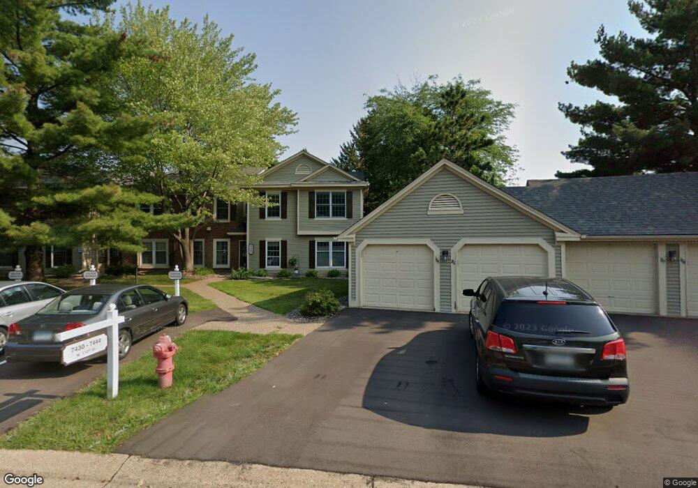
7436 W 110th St Bloomington, MN 55438
West Bloomington NeighborhoodEstimated Value: $156,000 - $171,819
1
Bed
1
Bath
768
Sq Ft
$210/Sq Ft
Est. Value
About This Home
This home is located at 7436 W 110th St, Bloomington, MN 55438 and is currently estimated at $160,955, approximately $209 per square foot. 7436 W 110th St is a home located in Hennepin County with nearby schools including Olson Elementary School, Olson Middle School, and Jefferson Senior High School.
Ownership History
Date
Name
Owned For
Owner Type
Purchase Details
Closed on
Oct 28, 2024
Sold by
Ohland Rachel
Bought by
Ferris David and Ferris Kristi
Current Estimated Value
Home Financials for this Owner
Home Financials are based on the most recent Mortgage that was taken out on this home.
Original Mortgage
$124,000
Outstanding Balance
$122,784
Interest Rate
6.2%
Mortgage Type
New Conventional
Estimated Equity
$38,171
Purchase Details
Closed on
Jun 4, 1996
Sold by
Nez Michael E
Bought by
Ohland Rachel A
Create a Home Valuation Report for This Property
The Home Valuation Report is an in-depth analysis detailing your home's value as well as a comparison with similar homes in the area
Home Values in the Area
Average Home Value in this Area
Purchase History
| Date | Buyer | Sale Price | Title Company |
|---|---|---|---|
| Ferris David | $155,000 | -- | |
| Ohland Rachel A | $59,000 | -- |
Source: Public Records
Mortgage History
| Date | Status | Borrower | Loan Amount |
|---|---|---|---|
| Open | Ferris David | $124,000 |
Source: Public Records
Tax History Compared to Growth
Tax History
| Year | Tax Paid | Tax Assessment Tax Assessment Total Assessment is a certain percentage of the fair market value that is determined by local assessors to be the total taxable value of land and additions on the property. | Land | Improvement |
|---|---|---|---|---|
| 2024 | $1,673 | $156,900 | $53,700 | $103,200 |
| 2023 | $1,645 | $156,300 | $53,700 | $102,600 |
| 2022 | $1,455 | $148,800 | $53,700 | $95,100 |
| 2021 | $1,443 | $135,300 | $50,200 | $85,100 |
| 2020 | $1,292 | $135,200 | $48,700 | $86,500 |
| 2019 | $1,281 | $121,400 | $50,000 | $71,400 |
| 2018 | $963 | $118,800 | $50,400 | $68,400 |
| 2017 | $891 | $90,700 | $41,900 | $48,800 |
| 2016 | $742 | $78,200 | $38,800 | $39,400 |
| 2015 | $595 | $61,100 | $37,300 | $23,800 |
| 2014 | -- | $67,900 | $36,200 | $31,700 |
Source: Public Records
Map
Nearby Homes
- 7518 W 110th St
- 10911 Rhode Island Ave S
- 11058 Oregon Curve
- 11048 Quebec Cir
- 11015 Oregon Curve
- 11275 Oregon Cir
- 7321 Woodstock Curve
- 11073 Oregon Cir Unit 69
- 11161 Oregon Cir
- 7256 Woodstock Dr
- 7019 W 110th Street Cir Unit 15
- 11200 Wyoming Rd S
- 8022 W 111th St Unit 8022
- 7401 Landau Dr Unit 12
- 7106 W 113th St
- 7534 Landau Dr
- 10707 Yukon Ave S
- 11340 Louisiana Ave S
- 7317 Auto Club Rd
- 7920 W 107th Street Cir
- 7434 W 110th St
- 7440 W 110th St
- 7444 W 110th St Unit 1
- 7432 W 110th St
- 7430 W 110th St Unit 8
- 7438 W 110th St
- 7438 W 110th St Unit O
- 7442 W 110th St
- 10942 Quebec Ave S
- 10956 Quebec Ave S
- 10980 Quebec Ave S
- 10938 Quebec Ave S
- 10954 Quebec Ave S
- 10986 Quebec Ave S
- 10990 Quebec Ave S
- 10990 Quebec Ave S Unit 3
- 10940 Quebec Ave S
- 10994 Quebec Ave S Unit 2
- 10957 Rhode Island Ave S Unit 7
- 10959 Rhode Island Ave S